
| Distance / Altitude | Location | Report Date / Time | Live Weather | Wind | Gusts | Temp. | Visibility | Cloud |
|---|---|---|---|---|---|---|---|---|
| 53 km SSE / 20 m | Weipa Aerodrome (Australia) | 2026-07-26 22:00 local (2026/07/26 12:00 GMT) | no report | light winds from the E (15 km/h at 100) | 24°C | - | - | |
| 55 km SE / 40 m | Scherger Raaf (Australia) | 2026-07-26 22:00 local (2026/07/26 12:00 GMT) | no report | wind obs. (6 kph from 110 degs) was rejected (- km/h at -) | 22°C | - | - - - | |
| 75 km NW / 15 m | ASCATB142E12S (Marine) | 2026-07-26 21:10 local (2026/07/26 11:10 GMT) | light winds from the ESE (18 km/h at 106) | — | - km | |||
| 110 km SW / 15 m | ASCATB141E13S (Marine) | 2026-07-26 21:10 local (2026/07/26 11:10 GMT) | moderate winds from the SSW (28 km/h at 200) | — | - km | |||
| 138 km WNW / 15 m | ASCATB141E12S (Marine) | 2026-07-26 21:10 local (2026/07/26 11:10 GMT) | light winds from the S (17 km/h at 183) | — | - km | |||
| 172 km WSW / 15 m | ASCATB140E13S (Marine) | 2026-07-26 21:10 local (2026/07/26 11:10 GMT) | moderate winds from the S (26 km/h at 187) | — | - km | |||
| 173 km S / 15 m | ASCATB141E14S (Marine) | 2026-07-26 21:10 local (2026/07/26 11:10 GMT) | fresh winds from the SSW (29 km/h at 192) | — | - km | |||
| 177 km ESE / 18 m | Lockhart River (Australia) | 2026-07-26 22:00 local (2026/07/26 12:00 GMT) | no report | - (- km/h at -) | 19°C | - | - - - | |
| 183 km ENE / 15 m | ASCATB143E12S (Marine) | 2026-07-26 21:10 local (2026/07/26 11:10 GMT) | moderate winds from the ESE (24 km/h at 123) | — | - km | |||
| 185 km NNE / 15 m | SHIP10117 (Marine) | 2026-07-26 21:00 local (2026/07/26 11:00 GMT) | - (- km/h at -) | 25°C | - km |
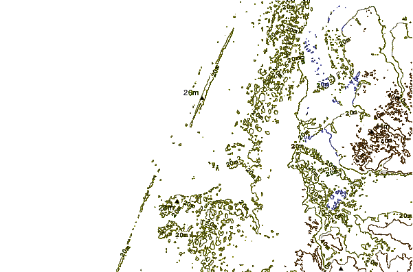
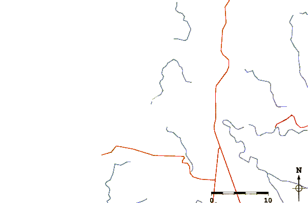
| Contours: | Roads & Rivers: | Select a
tide station / surf break / city |

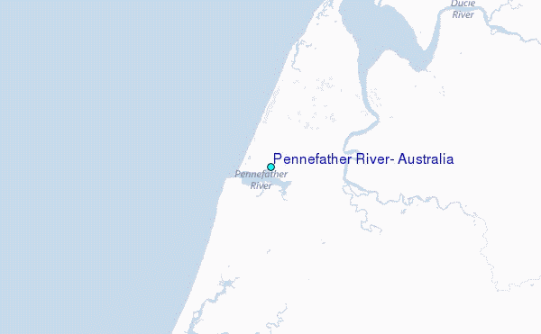
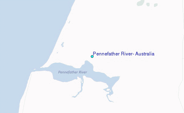
Use this relief map to navigate to tide stations, surf breaks and cities that are in the area of Pennefather River, Australia.
Other Nearby Locations' tide tables and tide charts to Pennefather River, Australia:
click location name for more details
 Surf breaks close to Pennefather River, Australia:
|
||
|---|---|---|
| Closest surf break | Tupira Right | 592 mi |
| Second closest surf break | Forok Point | 610 mi |
| Third closest surf break | The Wharf (Mission Point) | 612 mi |
| Fourth closest surf break | Wewak Point | 612 mi |
| Fifth closest surf break | Moem Point | 613 mi |


 Nearest
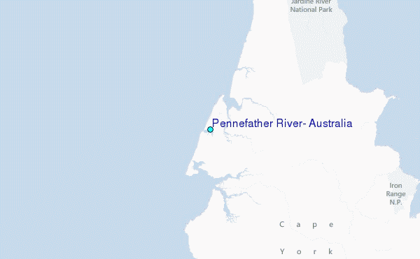