
| Distance / Altitude | Location | Report Date / Time | Live Weather | Wind | Gusts | Temp. | Visibility | Cloud |
|---|---|---|---|---|---|---|---|---|
| 14 km NW / 215 m | Cordova Airport (Alaska) | 2026-06-23 17:53 local (2026/06/24 01:53 GMT) | Dry and cloudy | light winds from the E (6 km/h at 80) | 10°C | 16 | broken overcast | |
| 27 km WNW / 3 m | BUOY-COXA2 (Marine) | 2026-06-23 19:02 local (2026/06/24 03:02 GMT) | calm (5 km/h at 180) | 10°C | - | |||
| 27 km WNW / 3 m | BUOY-CRVA2 (Marine) | 2026-06-23 18:48 local (2026/06/24 02:48 GMT) | calm (2 km/h at 150) | — | - | |||
| 55 km W / 15 m | SHIP6757 (Marine) | 2026-06-23 18:00 local (2026/06/24 02:00 GMT) | fresh winds from the SE (29.52 km/h at 130) | — | - km | |||
| 65 km W / 15 m | SHIP2653 (Marine) | 2026-06-23 18:00 local (2026/06/24 02:00 GMT) | fresh winds from the SE (33.480000000000004 km/h at 140) | — | - km | |||
| 69 km SW / 15 m | SHIP1671 (Marine) | 2026-06-23 17:00 local (2026/06/24 01:00 GMT) | moderate winds from the ESE (27.720000000000002 km/h at 120) | — | - km | |||
| 70 km W / 3 m | SHIP8104 (Marine) | 2026-06-23 17:00 local (2026/06/24 01:00 GMT) | - (- km/h at -) | 10°C | - | |||
| 70 km W / 15 m | SHIP1685 (Marine) | 2026-06-23 17:00 local (2026/06/24 01:00 GMT) | - (- km/h at -) | — | - km | |||
| 70 km W / 15 m | SHIP4565 (Marine) | 2026-06-23 17:00 local (2026/06/24 01:00 GMT) | - (- km/h at -) | — | - km | |||
| 70 km W / 15 m | SHIP2566 (Marine) | 2026-06-23 18:00 local (2026/06/24 02:00 GMT) | - (- km/h at -) | — | - km |
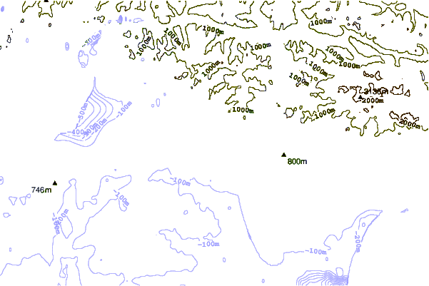
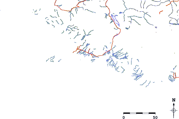
| Contours: | Roads & Rivers: | Select a
tide station / surf break / city |
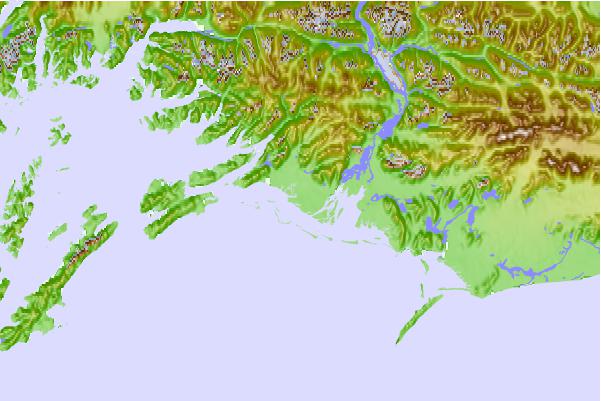
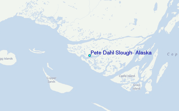
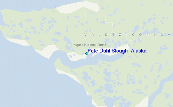
Use this relief map to navigate to tide stations, surf breaks and cities that are in the area of Pete Dahl Slough, Alaska.
Other Nearby Locations' tide tables and tide charts to Pete Dahl Slough, Alaska:
click location name for more details
 Surf breaks close to Pete Dahl Slough, Alaska:
|
||
|---|---|---|
| Closest surf break | Ocean Cape | 200 mi |
| Second closest surf break | Graveyards | 201 mi |
| Third closest surf break | Bird Point (Tidal Bore) | 204 mi |
| Fourth closest surf break | Cannon Beach | 204 mi |
| Fifth closest surf break | Mill Bay | 303 mi |


 Nearest
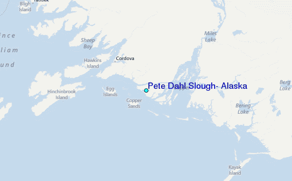