
| Distance / Altitude | Location | Report Date / Time | Live Weather | Wind | Gusts | Temp. | Visibility | Cloud |
|---|---|---|---|---|---|---|---|---|
| 28 km NNE / 3 m | SHIP558 (Marine) | 2026-06-26 20:00 local (2026/06/26 19:00 GMT) | - (- km/h at -) | 15°C | - | |||
| 28 km S / 170 m | Tees-side Airport (United Kingdom) | 2026-06-26 21:20 local (2026/06/26 20:20 GMT) | - | calm (4 km/h at 140) | — | 0.0 | ||
| 36 km WNW / 219 m | Newcastle Airport (United Kingdom) | 2026-06-26 21:20 local (2026/06/26 20:20 GMT) | Mist - | calm (0 km/h at 0) | 17°C | 5.0 | broken | |
| 42 km ENE / 3 m | Tyne-Tees WaveNet Site (Marine) | 2026-06-26 21:30 local (2026/06/26 20:30 GMT) | - (- km/h at -) | — | - | |||
| 48 km N / 3 m | Newbiggin Waverider (Marine) | 2026-06-26 21:02 local (2026/06/26 20:02 GMT) | - (- km/h at -) | — | - | |||
| 28 km NNE / 15 m | SHIP4699 (Marine) | 2026-06-26 20:00 local (2026/06/26 19:00 GMT) | - (- km/h at -) | — | - km | |||
| 28 km NNE / 3 m | SHIP1090 (Marine) | 2026-06-26 20:00 local (2026/06/26 19:00 GMT) | - (- km/h at -) | 15°C | - | |||
| 28 km NNE / 15 m | SHIP2800 (Marine) | 2026-06-26 20:00 local (2026/06/26 19:00 GMT) | - (- km/h at -) | — | - km | |||
| 36 km WNW / 219 m | Newcastle Airport (United Kingdom) | 2026-06-26 21:20 local (2026/06/26 20:20 GMT) | Mist - | calm (0 km/h at 0) | 17°C | 5.0 | broken | |
| 39 km NNE / 15 m | SHIP1217 (Marine) | 2026-06-26 21:00 local (2026/06/26 20:00 GMT) | - (- km/h at -) | — | - km |
| Contours: | Roads & Rivers: | Select a
tide station / surf break / city |
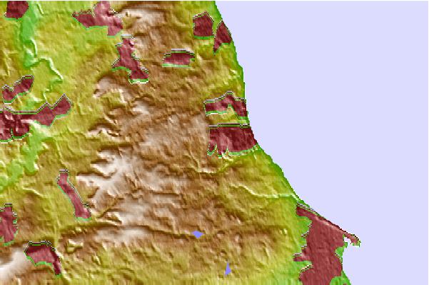
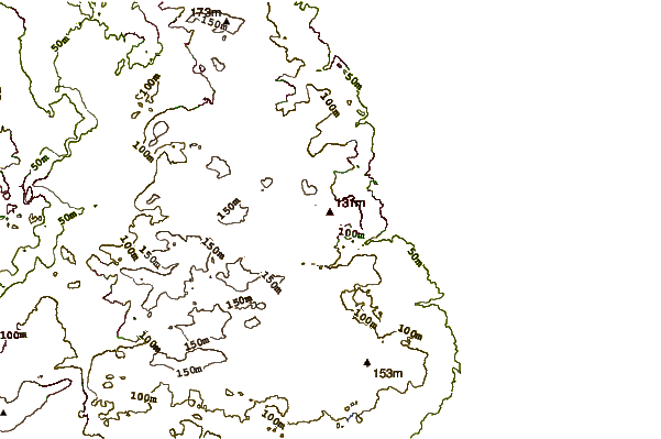
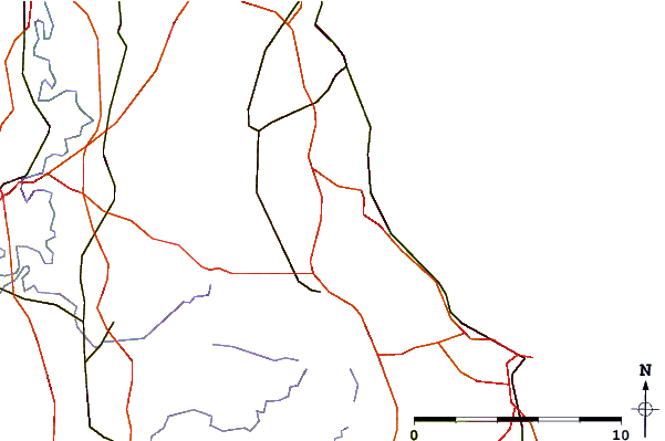
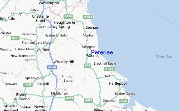
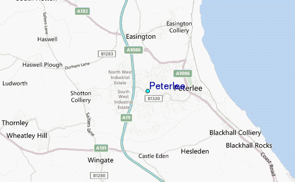
Use this relief map to navigate to tide stations, surf breaks and cities that are in the area of Peterlee.
Other Nearby Locations' tide tables and tide charts to Peterlee:
click location name for more details
 Surf breaks close to Peterlee:
|
||
|---|---|---|
| Closest surf break | Hartlepool | 8 mi |
| Second closest surf break | Seaton Carew | 10 mi |
| Third closest surf break | Roker Beach | 11 mi |
| Fourth closest surf break | The Gare | 12 mi |
| Fifth closest surf break | Razor Blades (Whitburn) | 13 mi |


 Nearest
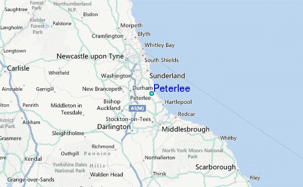