
| Distance / Altitude | Location | Report Date / Time | Live Weather | Wind | Gusts | Temp. | Visibility | Cloud |
|---|---|---|---|---|---|---|---|---|
| 34 km NE / 28 m | Saint-Michael Airport (Alaska) (Alaska) | 2026-06-23 17:56 local (2026/06/24 01:56 GMT) | Clear | light winds from the N (17 km/h at 350) | 17°C | 16 | ||
| 113 km NE / 3 m | BUOY-ULRA2 (Marine) | 2026-06-23 18:30 local (2026/06/24 02:30 GMT) | - (- km/h at -) | — | - | |||
| 113 km NE / 201 m | Unalakleet Airport (Alaska) | 2026-06-23 17:56 local (2026/06/24 01:56 GMT) | Dry and partly cloudy | light winds from the W (9 km/h at 260) | 17°C | 16 | broken | |
| 138 km S / 217 m | Saint Marys Airport (Alaska) | 2026-06-23 17:56 local (2026/06/24 01:56 GMT) | Dry and partly cloudy | moderate winds from the NW (20 km/h at 310) | 22°C | 16 | broken broken | |
| 140 km NNE / 7 m | Shaktoolik Airport (Alaska) | 2026-06-23 17:56 local (2026/06/24 01:56 GMT) | Clear | light winds from the W (17 km/h at 260) | 17°C | 16 | ||
| 141 km S / 103 m | Mountain Village Airport (Alaska) | 2026-06-23 17:56 local (2026/06/24 01:56 GMT) | Dry and partly cloudy | light winds from the NNW (19 km/h at 340) | 22°C | 16 | broken | |
| 151 km N / 49 m | Elim Aprt (Alaska) | 2026-06-23 17:56 local (2026/06/24 01:56 GMT) | Clear | light winds from the SSW (17 km/h at 210) | 19°C | 16 | ||
| 159 km S / 31 m | Marshall (Alaska) | 2026-06-23 17:56 local (2026/06/24 01:56 GMT) | Dry and partly cloudy | wind obs. (9 kph from 190 degs) was rejected (- km/h at -) | 19°C | 16 | broken broken | |
| 163 km NW / 82 m | White Mountain Airport (Alaska) | 2026-06-23 17:56 local (2026/06/24 01:56 GMT) | Dry and partly cloudy | moderate winds from the SSW (22 km/h at 210) | 22°C | 14 | few broken | |
| 166 km WSW / 15 m | SHIP3408 (Marine) | 2026-06-23 17:00 local (2026/06/24 01:00 GMT) | - (- km/h at -) | — | - km |
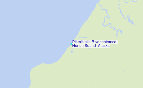
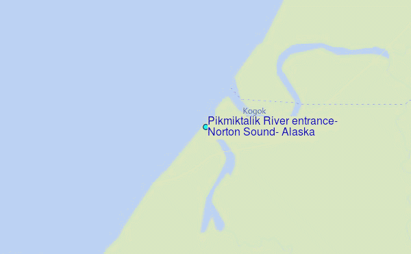
Choose Pikmiktalik River entrance, Norton Sound, Alaska Location Map Zoom:
| Contours: | Roads & Rivers: | Select a
tide station / surf break / city |
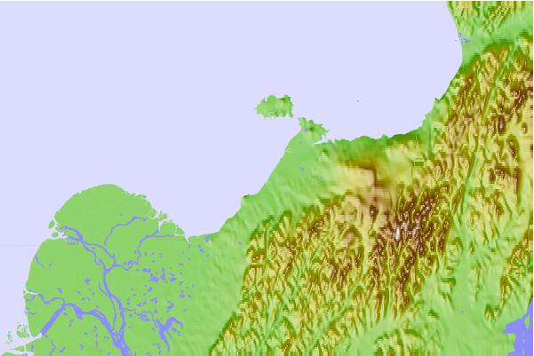
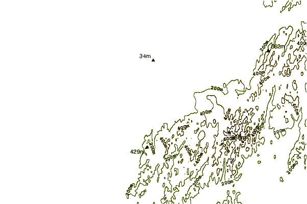
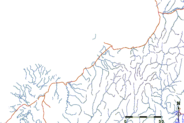
Use this relief map to navigate to tide stations, surf breaks and cities that are in the area of Pikmiktalik River entrance, Norton Sound, Alaska.
Other Nearby Locations' tide tables and tide charts to Pikmiktalik River entrance, Norton Sound, Alaska:
click location name for more details
 Surf breaks close to Pikmiktalik River entrance, Norton Sound, Alaska:
|
||
|---|---|---|
| Closest surf break | Bird Point (Tidal Bore) | 404 mi |
| Second closest surf break | Termination Point | 508 mi |
| Third closest surf break | Monashka Bay | 510 mi |
| Fourth closest surf break | Mill Bay | 511 mi |
| Fifth closest surf break | Fossil Beach Kodiak | 533 mi |


 Nearest
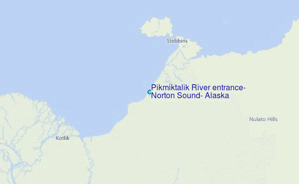