
| Distance / Altitude | Location | Report Date / Time | Live Weather | Wind | Gusts | Temp. | Visibility | Cloud |
|---|---|---|---|---|---|---|---|---|
| 8 km WSW / 24.3 m | Ipswich (Massachusetts) | 2026-07-07 09:18 local (2026/07/07 13:18 GMT) | dry | calm (2 km/h at 240) | 19°C | - | - - 0 | |
| 18 km SSW / 218 m | Beverly Airport (Massachusetts) | 2026-07-07 09:26 local (2026/07/07 13:26 GMT) | Light rain | light winds from the NNE (15 km/h at 30) | 19°C | 14 | scattered overcast | |
| 23 km SW / 25 m | Middleton wx (United States) | 2026-07-07 10:12 local (2026/07/07 14:12 GMT) | dry | calm (0 km/h at 0) | 20°C | - | - - 0 | |
| 28 km WSW / 218 m | Lawrence Airport (Massachusetts) | 2026-07-07 09:34 local (2026/07/07 13:34 GMT) | Dry and cloudy | light winds from the NE (15 km/h at 40) | 19°C | 16 | broken broken overcast | |
| 28 km SE / 3 m | Stellwagen Buoy (Marine) | 2026-07-07 09:00 local (2026/07/07 13:00 GMT) | moderate winds from the ENE (25 km/h at 60) | 20°C | - | |||
| 29 km S / 25 m | Swampscott (Massachusetts) | 2026-07-07 10:10 local (2026/07/07 14:10 GMT) | dry | calm (3 km/h at 313) | 20°C | - | - - 0 | |
| 34 km SSW / 144 m | Reading (Massachusetts) | 2026-07-07 10:17 local (2026/07/07 14:17 GMT) | dry | calm (0 km/h at 0) | 19°C | - | - - 0 | |
| 37 km SSW / 16 m | Malden (Massachusetts) | 2026-07-07 10:03 local (2026/07/07 14:03 GMT) | - | calm (0 km/h at 12) | 19°C | - | - - 0 | |
| 38 km SSW / 33 m | Woburn (Massachusetts) | 2026-07-07 10:00 local (2026/07/07 14:00 GMT) | dry | calm (0 km/h at 170) | 19°C | - | - - 0 | |
| 39 km N / 3 m | BUOY-BGXN3 (Marine) | 2026-07-07 08:45 local (2026/07/07 12:45 GMT) | calm (4 km/h at 40) | 18°C | - |
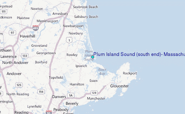
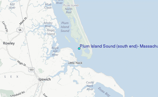
Choose Plum Island Sound (south end), Massachusetts Location Map Zoom:
| Contours: | Roads & Rivers: | Select a
tide station / surf break / city |
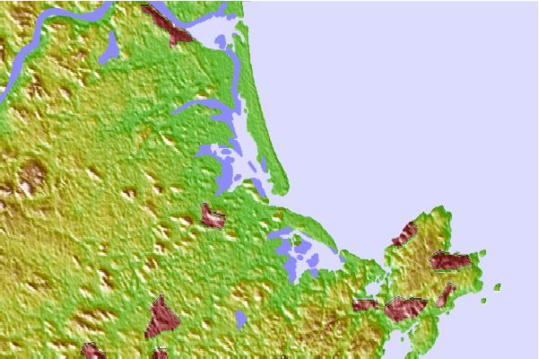
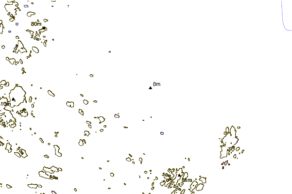
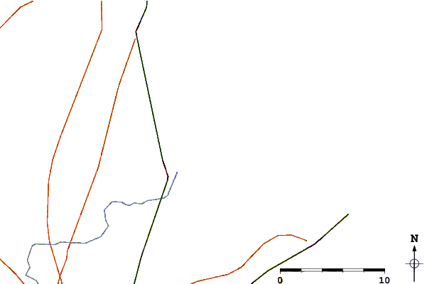
Use this relief map to navigate to tide stations, surf breaks and cities that are in the area of Plum Island Sound (south end), Massachusetts.
Other Nearby Locations' tide tables and tide charts to Plum Island Sound (south end), Massachusetts:
click location name for more details
 Surf breaks close to Plum Island Sound (south end), Massachusetts:
|
||
|---|---|---|
| Closest surf break | Plum Island | 6 mi |
| Second closest surf break | Salisbury Beach | 9 mi |
| Third closest surf break | Good Harbor Beach | 10 mi |
| Fourth closest surf break | Deveraux Beach | 11 mi |
| Fifth closest surf break | Long Beach | 11 mi |


 Nearest
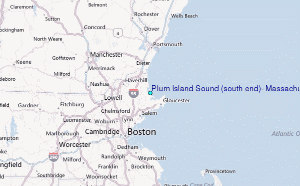