
| Distance / Altitude | Location | Report Date / Time | Live Weather | Wind | Gusts | Temp. | Visibility | Cloud |
|---|---|---|---|---|---|---|---|---|
| 14 km SW / 3 m | BUOY-UQXA2 (Marine) | 2026-07-22 09:32 local (2026/07/22 17:32 GMT) | light winds from the NE (11 km/h at 50) | 2°C | - | |||
| 17 km SW / 211 m | Barrow Airport (Alaska) | 2026-07-22 08:44 local (2026/07/22 16:44 GMT) | Light rain | light winds from the E (15 km/h at 80) | 2°C | 10 | few broken | |
| 108 km S / 29 m | Atqasuk Burnell Airport (Alaska) | 2026-07-22 08:20 local (2026/07/22 16:20 GMT) | Fog - | light winds from the E (7 km/h at 80) | 7°C | 0 | overcast | |
| 156 km SW / 3 m | BUOY-WRXA2 (Marine) | 2026-07-22 09:32 local (2026/07/22 17:32 GMT) | calm (4 km/h at 160) | 7°C | - | |||
| 230 km ESE / 398 m | Deadhorse- Alpine Airstrip (AK) Airport (United States) | 2026-07-22 07:45 local (2026/07/22 15:45 GMT) | Dry and cloudy | calm (0 km/h at 220) | 5°C | 16 | few overcast | |
| 236 km ESE / 210 m | Nuiqsut Airport (Alaska) | 2026-07-22 07:53 local (2026/07/22 15:53 GMT) | Light rain | calm (0 km/h at 0) | 6°C | 8 | overcast | |
| 275 km ESE / 459 m | Kuparuk Airport (Alaska) | 2026-07-22 07:45 local (2026/07/22 15:45 GMT) | Mist - | light winds from the SW (9 km/h at 220) | 4°C | 8 | broken overcast | |
| 306 km ESE / 3 m | BUOY-PRDA2 (Marine) | 2026-07-22 09:00 local (2026/07/22 17:00 GMT) | light winds from the WSW (18 km/h at 250) | 5°C | - | |||
| 318 km ESE / 215 m | Deadhorse Airport (Alaska) | 2026-07-22 08:32 local (2026/07/22 16:32 GMT) | Fog - | light winds from the WSW (9 km/h at 250) | 7°C | 0 | overcast | |
| 318 km ESE / 3 m | BUOY-DHXA2 (Marine) | 2026-07-22 09:32 local (2026/07/22 17:32 GMT) | light winds from the WSW (18 km/h at 250) | 7°C | - |
| Contours: | Roads & Rivers: | Select a
tide station / surf break / city |
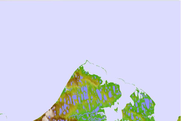

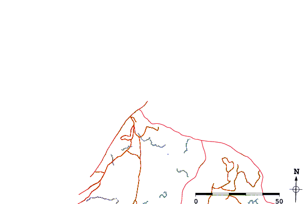
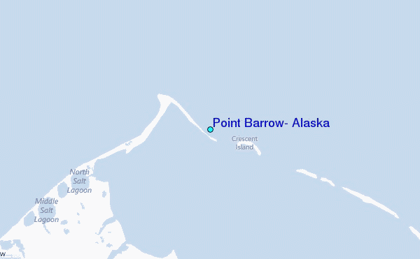
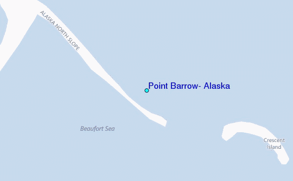
Use this relief map to navigate to tide stations, surf breaks and cities that are in the area of Point Barrow, Alaska.
Other Nearby Locations' tide tables and tide charts to Point Barrow, Alaska:
click location name for more details
 Surf breaks close to Point Barrow, Alaska:
|
||
|---|---|---|
| Closest surf break | Bird Point (Tidal Bore) | 749 mi |
| Second closest surf break | Graveyards | 938 mi |
| Third closest surf break | Ocean Cape | 938 mi |
| Fourth closest surf break | Termination Point | 941 mi |
| Fifth closest surf break | Cannon Beach | 942 mi |


 Nearest
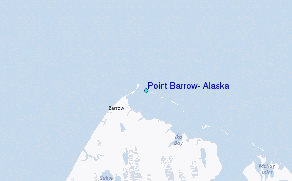