
| Distance / Altitude | Location | Report Date / Time | Live Weather | Wind | Gusts | Temp. | Visibility | Cloud |
|---|---|---|---|---|---|---|---|---|
| 5 km WSW / 218 m | Coolangatta Airport (Australia) | 2026-06-22 15:30 local (2026/06/22 05:30 GMT) | Dry and cloudy | light winds from the SSE (6 km/h at 150) | 21°C | 10.0 | scattered broken overcast | |
| 5 km WSW / 218 m | Coolangatta (Australia) | 2026-06-22 16:30 local (2026/06/22 06:30 GMT) | Dry and partly cloudy | light winds from the SSE (7 km/h at 150) | 20°C | 10.0 | few scattered | |
| 15 km WNW / 15 m | Miami (Australia) | 2026-06-22 17:19 local (2026/06/22 07:19 GMT) | dry | calm (0 km/h at 24) | 18°C | - | - - 0 | |
| 35 km WSW / 525 m | Beechmont (Australia) | 2026-06-22 17:00 local (2026/06/22 07:00 GMT) | - | calm (0 km/h at 302) | 14°C | - | - - 0 | |
| 35 km WNW / 35 m | Helensvale (Australia) | 2026-06-22 17:15 local (2026/06/22 07:15 GMT) | dry | calm (0 km/h at ) | — | - | - - 0 | |
| 41 km W / 525 m | Hinchies (Australia) | 2026-06-22 17:00 local (2026/06/22 07:00 GMT) | - | wind obs. (15 kph from 196 degs) was rejected (- km/h at -) | 16°C | - | - - 0 | |
| 44 km W / 548 m | Tambo (Australia) | 2026-06-22 17:00 local (2026/06/22 07:00 GMT) | - | calm (0 km/h at 302) | 13°C | - | - - 0 | |
| 47 km S / 8 m | Tyagarah (Australia) | 2026-06-22 17:00 local (2026/06/22 07:00 GMT) | - | calm (0 km/h at 118) | 16°C | - | - - 0 | |
| 48 km S / 128 m | Monties (Australia) | 2026-06-22 17:00 local (2026/06/22 07:00 GMT) | - | calm (0 km/h at 171) | 13°C | - | - - 0 | |
| 49 km WNW / 73 m | Tamborine (Australia) | 2026-06-22 17:04 local (2026/06/22 07:04 GMT) | dry | calm (0 km/h at 190) | 19°C | - | - - 0 |
| Contours: | Roads & Rivers: | Select a
tide station / surf break / city |
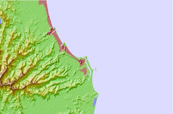
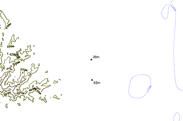
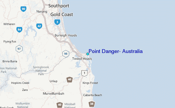
Use this relief map to navigate to tide stations, surf breaks and cities that are in the area of Point Danger, Australia.
Other Nearby Locations' tide tables and tide charts to Point Danger, Australia:
click location name for more details
 Surf breaks close to Point Danger, Australia:
|
||
|---|---|---|
| Closest surf break | Duranbah | 0 mi |
| Second closest surf break | Rainbow Bay | 0 mi |
| Third closest surf break | Snapper Rocks | 0 mi |
| Fourth closest surf break | Greenmount | 1 mi |
| Fifth closest surf break | Tweed River Breakwall | 1 mi |


 Nearest
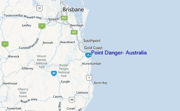