
| Distance / Altitude | Location | Report Date / Time | Live Weather | Wind | Gusts | Temp. | Visibility | Cloud |
|---|---|---|---|---|---|---|---|---|
| 39 km S / 3 m | BUOY-YATA2 (Marine) | 2026-06-23 18:30 local (2026/06/24 02:30 GMT) | - (- km/h at -) | — | - | |||
| 43 km S / 210 m | Yakutat Airport (Alaska) | 2026-06-23 17:53 local (2026/06/24 01:53 GMT) | Dry and cloudy | light winds from the N (11 km/h at 360) | 13°C | 16 | few broken overcast | |
| 58 km S / 3 m | SHIP8114 (Marine) | 2026-06-23 17:00 local (2026/06/24 01:00 GMT) | light winds from the E (8 km/h at 90) | 13°C | 20.4 | |||
| 148 km NE / 704 m | Haines Junction Airport (Yukon Territory) | 2026-06-23 18:00 local (2026/06/24 02:00 GMT) | - | wind obs. (7 kph from 270 degs) was rejected (- km/h at -) | 17°C | 0.0 | ||
| 149 km NE / 595 m | Haines Junction- YT (Canada) | 2026-06-23 18:00 local (2026/06/24 02:00 GMT) | - | calm (4 km/h at 10) | — | - | - | |
| 58 km S / 15 m | SHIP3843 (Marine) | 2026-06-23 17:00 local (2026/06/24 01:00 GMT) | light winds from the E (7.5600000000000005 km/h at 90) | — | 17.7 km | |||
| 58 km S / 15 m | SHIP4078 (Marine) | 2026-06-23 17:00 local (2026/06/24 01:00 GMT) | light winds from the E (7.5600000000000005 km/h at 90) | — | 17.7 km | |||
| 58 km S / 15 m | SHIP1472 (Marine) | 2026-06-23 17:00 local (2026/06/24 01:00 GMT) | light winds from the E (7.5600000000000005 km/h at 90) | — | 17.7 km | |||
| 149 km NE / 595 m | Haines Junction- YT (Canada) | 2026-06-23 18:00 local (2026/06/24 02:00 GMT) | - | calm (4 km/h at 10) | — | - | - | |
| 149 km NE / 704 m | Haines Junction Airport (Yukon Territory) | 2026-06-23 18:00 local (2026/06/24 02:00 GMT) | - | wind obs. (7 kph from 270 degs) was rejected (- km/h at -) | 17°C | 0.0 |
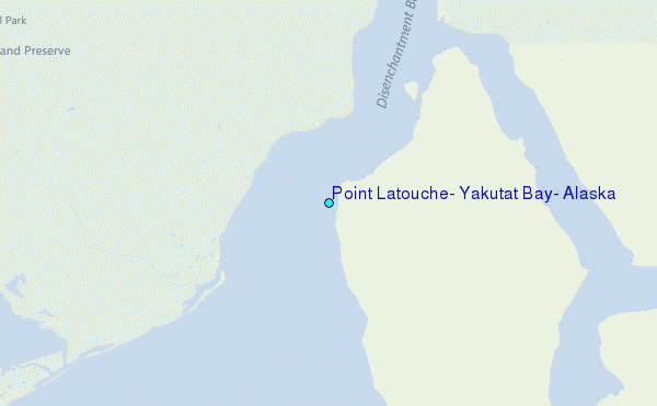
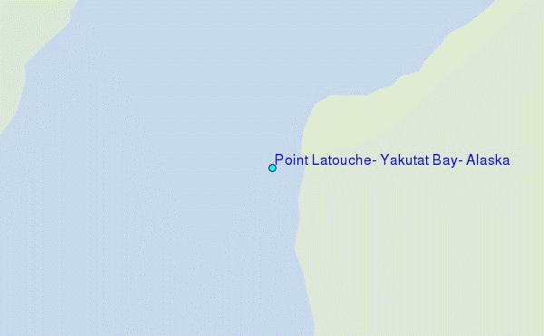
Choose Point Latouche, Yakutat Bay, Alaska Location Map Zoom:
| Contours: | Roads & Rivers: | Select a
tide station / surf break / city |
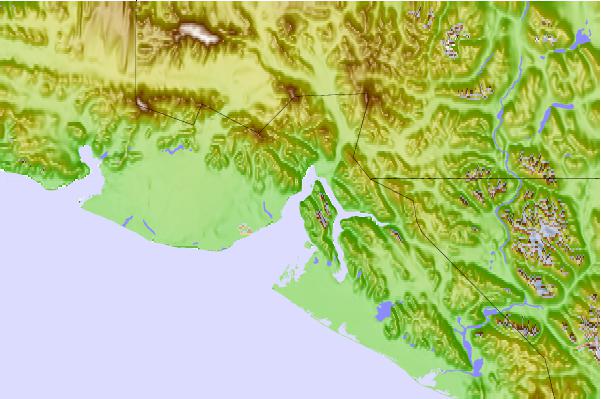
Use this relief map to navigate to tide stations, surf breaks and cities that are in the area of Point Latouche, Yakutat Bay, Alaska.
Other Nearby Locations' tide tables and tide charts to Point Latouche, Yakutat Bay, Alaska:
click location name for more details
 Surf breaks close to Point Latouche, Yakutat Bay, Alaska:
|
||
|---|---|---|
| Closest surf break | Graveyards | 25 mi |
| Second closest surf break | Ocean Cape | 26 mi |
| Third closest surf break | Cannon Beach | 28 mi |
| Fourth closest surf break | Bird Point (Tidal Bore) | 406 mi |
| Fifth closest surf break | Lepus Beach (Haida-Gwaii) | 467 mi |


 Nearest
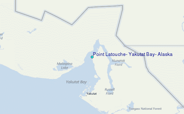