
| Distance / Altitude | Location | Report Date / Time | Live Weather | Wind | Gusts | Temp. | Visibility | Cloud |
|---|---|---|---|---|---|---|---|---|
| 5 km E / 3 m | BUOY-PRYC1 (Marine) | 2026-06-13 06:00 local (2026/06/13 13:00 GMT) | - (- km/h at -) | — | - | |||
| 21 km ENE / 24 m | Point Reyes Station wx (United States) | 2026-06-13 06:42 local (2026/06/13 13:42 GMT) | dry | calm (2 km/h at 0) | 12°C | - | - - 0 | |
| 23 km NNE / 10 m | McDonald wx (United States) | 2026-06-13 06:42 local (2026/06/13 13:42 GMT) | dry | calm (0 km/h at 0) | 12°C | - | - - 0 | |
| 28 km E / 282 m | Lagunitas (California) | 2026-06-13 06:16 local (2026/06/13 13:16 GMT) | dry | calm (0 km/h at 194) | 11°C | - | - - 0 | |
| 30 km SE / - m | SHIP1152 (ocean) | 2026-06-13 04:00 local (2026/06/13 11:00 GMT) | - | light winds from the SSE (14 km/h at 160) | — | - | no observation | |
| 30 km SE / - m | SHIP310 (ocean) | 2026-06-13 06:00 local (2026/06/13 13:00 GMT) | - | light winds from the SSE (11 km/h at 160) | — | - | no observation | |
| 30 km SE / - m | SHIP911 (ocean) | 2026-06-13 04:00 local (2026/06/13 11:00 GMT) | - | light winds from the SSE (14 km/h at 150) | — | - | no observation | |
| 30 km SE / - m | SHIP86 (ocean) | 2026-06-13 06:00 local (2026/06/13 13:00 GMT) | - | light winds from the SSE (14 km/h at 160) | — | - | no observation | |
| 30 km SE / - m | SHIP1361 (ocean) | 2026-06-13 04:00 local (2026/06/13 11:00 GMT) | - | light winds from the SSE (14 km/h at 160) | — | - | no observation | |
| 30 km SE / - m | SHIP1042 (ocean) | 2026-06-13 04:00 local (2026/06/13 11:00 GMT) | - | light winds from the SSE (11 km/h at 160) | — | - | no observation |
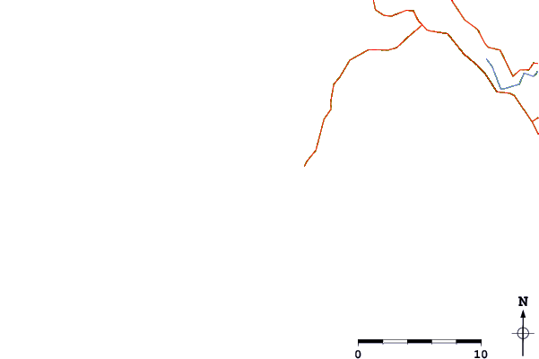
| Contours: | Roads & Rivers: | Select a
tide station / surf break / city |
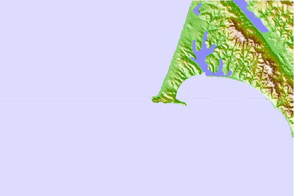
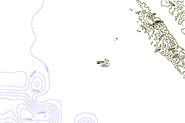
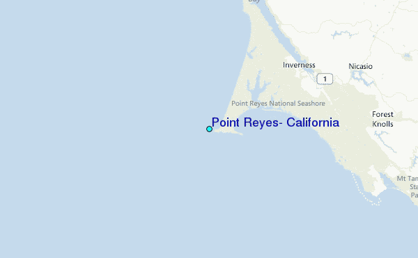
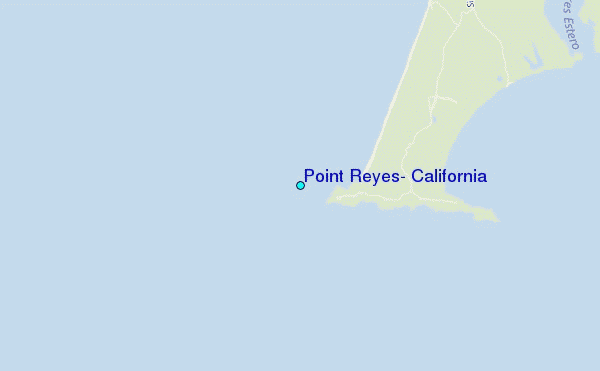
Use this relief map to navigate to tide stations, surf breaks and cities that are in the area of Point Reyes, California.
Other Nearby Locations' tide tables and tide charts to Point Reyes, California:
click location name for more details
 Surf breaks close to Point Reyes, California:
|
||
|---|---|---|
| Closest surf break | Drakes Bay | 6 mi |
| Second closest surf break | Drakes Estero | 6 mi |
| Third closest surf break | Point Reyes Beach | 6 mi |
| Fourth closest surf break | Double Point | 14 mi |
| Fifth closest surf break | Shark Pit | 17 mi |


 Nearest
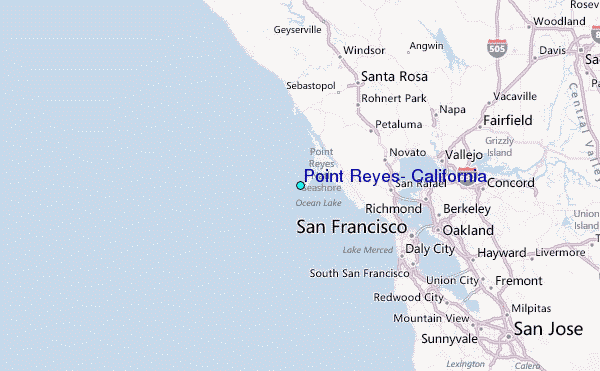