
| Distance / Altitude | Location | Report Date / Time | Live Weather | Wind | Gusts | Temp. | Visibility | Cloud |
|---|---|---|---|---|---|---|---|---|
| 42 km W / 215 m | Macapa International Airport (Brazil) | 2026-07-09 17:00 local (2026/07/09 20:00 GMT) | - | moderate winds from the ENE (20 km/h at 70) | 31°C | 10.0 | few few | |
| 47 km W / 17 m | Macapa (Aero) (Brazil) | 2026-07-09 18:00 local (2026/07/09 21:00 GMT) | no report | wind obs. (6 kph from 310 degs) was rejected (- km/h at -) | 25°C | 20 | - - - | |
| 126 km WNW / 78 m | Porto Grande (Brazil) | 2026-07-09 17:00 local (2026/07/09 20:00 GMT) | no report | calm (0 km/h at 290) | 23°C | - | - | |
| 255 km ESE / 12 m | Soure (81658 -0) (Brazil) | 2026-07-09 17:00 local (2026/07/09 20:00 GMT) | no report | light winds from the E (11 km/h at 90) | 26°C | - | - | |
| 282 km ESE / 16 m | Belem (Aero) (Brazil) | 2026-07-09 18:00 local (2026/07/09 21:00 GMT) | mist | light winds from the E (13 km/h at 90) | 25°C | 9 | - - - | |
| 283 km ESE / 215 m | Belém/Val de Cães International Airport (Brazil) | 2026-07-09 17:00 local (2026/07/09 20:00 GMT) | Shower - in the vicinity | light winds from the NNE (6 km/h at 30) | 25°C | 10.0 | scattered broken few | |
| 288 km ESE / 26 m | Belem (81680 -0) (Brazil) | 2026-07-09 17:00 local (2026/07/09 20:00 GMT) | no report | wind obs. (7 kph from 240 degs) was rejected (- km/h at -) | 25°C | - | - | |
| 332 km ESE / 66 m | Castanhal (Brazil) | 2026-07-09 17:00 local (2026/07/09 20:00 GMT) | no report | calm (0 km/h at 100) | 25°C | - | - | |
| 372 km S / 516 m | Altamira (Brazil) | 2026-07-09 17:00 local (2026/07/09 20:00 GMT) | Dry and partly cloudy | wind obs. (11 kph from 100 degs) was rejected (- km/h at -) | 31°C | 10.0 | scattered | |
| 372 km S / 516 m | Altamira Airport (Brazil) | 2026-07-09 16:00 local (2026/07/09 19:00 GMT) | Dry and partly cloudy | wind obs. (13 kph from 100 degs) was rejected (- km/h at -) | 32°C | 10.0 | broken |
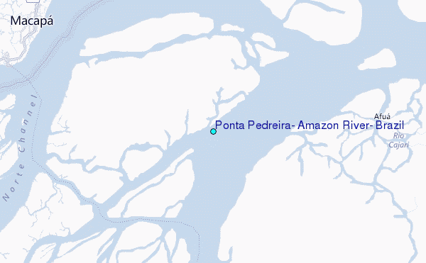
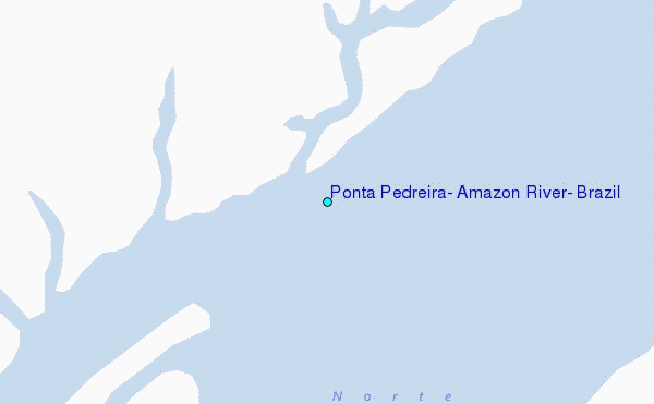
Choose Ponta Pedreira, Amazon River, Brazil Location Map Zoom:
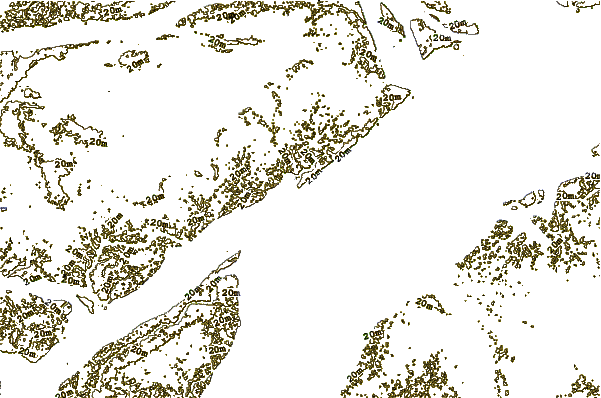
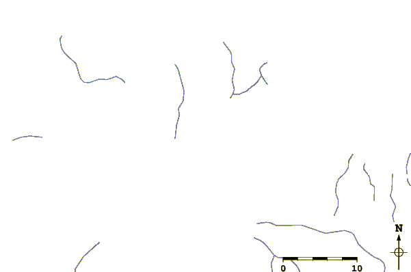
| Contours: | Roads & Rivers: | Select a
tide station / surf break / city |

Use this relief map to navigate to tide stations, surf breaks and cities that are in the area of Ponta Pedreira, Amazon River, Brazil.
Other Nearby Locations' tide tables and tide charts to Ponta Pedreira, Amazon River, Brazil:
click location name for more details
 Surf breaks close to Ponta Pedreira, Amazon River, Brazil:
|
||
|---|---|---|
| Closest surf break | Araruna | 158 mi |
| Second closest surf break | Mahury | 364 mi |
| Third closest surf break | La Mère | 365 mi |
| Fourth closest surf break | Anse de Rémire (L'apcat) | 367 mi |
| Fifth closest surf break | Ilet du Novotel | 372 mi |


 Nearest
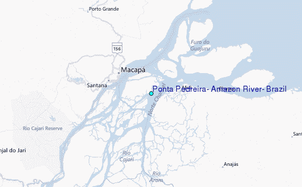