
| Distance / Altitude | Location | Report Date / Time | Live Weather | Wind | Gusts | Temp. | Visibility | Cloud |
|---|---|---|---|---|---|---|---|---|
| 26 km ENE / 3 m | BUOY-NWWH1 (Marine) | 2026-07-13 21:48 local (2026/07/14 07:48 GMT) | light winds from the NE (18 km/h at 40) | — | - | |||
| 26 km WNW / 216 m | Barking Sands/Kauai Airport (Hawaii) | 2026-07-13 20:51 local (2026/07/14 06:51 GMT) | Dry and partly cloudy | wind obs. (13 kph from 30 degs) was rejected (- km/h at -) | 26°C | 16 | few scattered | |
| 28 km ENE / 218 m | Lihue/Kauai Island Airport (Hawaii) | 2026-07-13 21:23 local (2026/07/14 07:23 GMT) | Dry and cloudy | fresh winds from the NE (30 km/h at 50) | 24°C | 16 | scattered overcast | |
| 29 km NE / 122 m | Wailua Homesteads wx (United States) | 2026-07-13 21:21 local (2026/07/14 07:21 GMT) | dry | - (- km/h at ) | — | - | - - 0 | |
| 43 km N / 3 m | Hanalei- Kauai- HI (Marine) | 2026-07-13 21:56 local (2026/07/14 07:56 GMT) | - (- km/h at -) | — | - | |||
| 154 km E / 3 m | Waimea Bay- HI (Marine) | 2026-07-13 21:56 local (2026/07/14 07:56 GMT) | - (- km/h at -) | — | - | |||
| 163 km ESE / 3 m | Barbers Point Buoy- Kalaeloa (Marine) | 2026-07-13 21:30 local (2026/07/14 07:30 GMT) | - (- km/h at -) | 26°C | - | |||
| 170 km ESE / 717 m | Wheeler Air Force Base/oahu Airport (Hawaii) | 2026-07-13 21:15 local (2026/07/14 07:15 GMT) | Dry and partly cloudy | light winds from the NNE (7 km/h at 30) | 24°C | 16 | scattered broken | |
| 171 km ESE / 218 m | Kalaeloa Airport (Hawaii) | 2026-07-13 20:53 local (2026/07/14 06:53 GMT) | Clear | light winds from the NE (6 km/h at 50) | 24°C | 16 | ||
| 178 km ESE / 132 m | Pacific Palisades wx (United States) | 2026-07-13 21:22 local (2026/07/14 07:22 GMT) | dry | calm (3 km/h at 62) | 23°C | - | - - 0 |
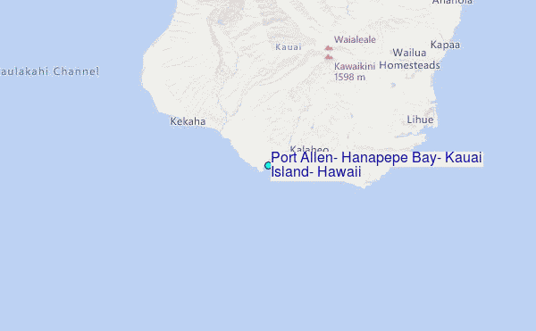
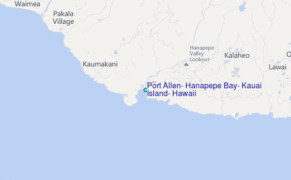
Choose Port Allen, Hanapepe Bay, Kauai Island, Hawaii Location Map Zoom:
| Contours: | Roads & Rivers: | Select a
tide station / surf break / city |
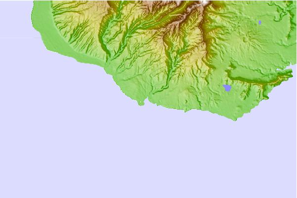
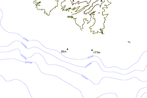
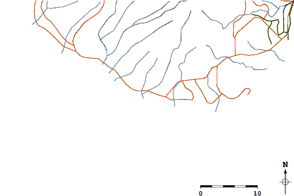
Use this relief map to navigate to tide stations, surf breaks and cities that are in the area of Port Allen, Hanapepe Bay, Kauai Island, Hawaii.
Other Nearby Locations' tide tables and tide charts to Port Allen, Hanapepe Bay, Kauai Island, Hawaii:
click location name for more details
 Surf breaks close to Port Allen, Hanapepe Bay, Kauai Island, Hawaii:
|
||
|---|---|---|
| Closest surf break | Pakalas | 4 mi |
| Second closest surf break | Infinities | 4 mi |
| Third closest surf break | Waimea Rivermouth | 6 mi |
| Fourth closest surf break | Acid Drops | 7 mi |
| Fifth closest surf break | Centers | 7 mi |


 Nearest
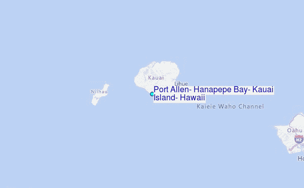