
| Distance / Altitude | Location | Report Date / Time | Live Weather | Wind | Gusts | Temp. | Visibility | Cloud |
|---|---|---|---|---|---|---|---|---|
| 50 km SW / 191 m | Kingston/Norman Manley International Airport (Jamaica) | 2026-07-09 15:00 local (2026/07/09 20:00 GMT) | - | fresh winds from the ESE (31 km/h at 120) | 34°C | |||
| 82 km NW / 0 m | lightning 55km N of Port Maria (Jamaica) | 2026-07-09 15:18 local (2026/07/09 20:18 GMT) | Thunderstorm | (- km/h at -) | — | |||
| 136 km ENE / 0 m | lightning 74km W of Les Irois (Haiti) | 2026-07-09 15:31 local (2026/07/09 20:31 GMT) | Thunderstorm | (- km/h at -) | — | |||
| 162 km SE / 0 m | lightning 135km E of Dalvey (Jamaica) | 2026-07-09 14:18 local (2026/07/09 19:18 GMT) | Thunderstorm | (- km/h at -) | — | |||
| 166 km WSW / 121 m | lightning 4km N of Bethel Town (Jamaica) | 2026-07-09 15:32 local (2026/07/09 20:32 GMT) | Thunderstorm | (- km/h at -) | — | |||
| 167 km W / 193 m | Sangster/Montego Bay Airport (Jamaica) | 2026-07-09 15:00 local (2026/07/09 20:00 GMT) | - | fresh winds from the E (37 km/h at 80) | 33°C | 10.0 | few | |
| 170 km SE / 0 m | lightning 138km SSW of Tiburon (Haiti) | 2026-07-09 14:04 local (2026/07/09 19:04 GMT) | Thunderstorm | (- km/h at -) | — | |||
| 173 km W / 0 m | lightning 6km W of Montego Bay (Jamaica) | 2026-07-09 15:32 local (2026/07/09 20:32 GMT) | Thunderstorm | (- km/h at -) | — | |||
| 191 km W / 0 m | lightning 5km N of Lucea (Jamaica) | 2026-07-09 16:15 local (2026/07/09 21:15 GMT) | Thunderstorm | (- km/h at -) | — | |||
| 208 km NNE / 209 m | Santiago De Cuba Airport (Cuba) | 2026-07-09 14:50 local (2026/07/09 19:50 GMT) | - | fresh winds from the ESE (33 km/h at 120) | 31°C | 9.0 | few |
| Contours: | Roads & Rivers: | Select a
tide station / surf break / city |
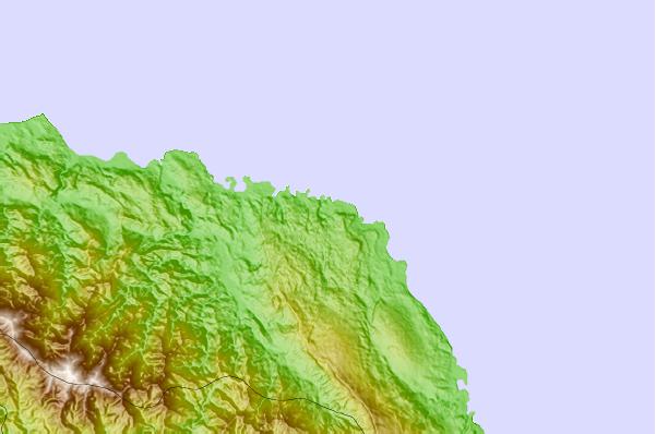
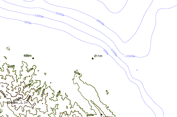
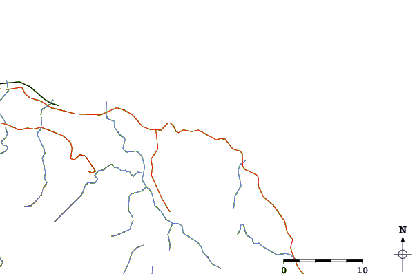
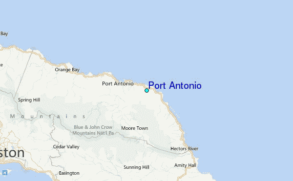
Use this relief map to navigate to tide stations, surf breaks and cities that are in the area of Port Antonio.
Other Nearby Locations' tide tables and tide charts to Port Antonio:
click location name for more details
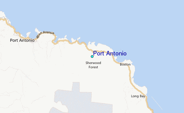
 Surf breaks close to Port Antonio:
|
||
|---|---|---|
| Closest surf break | Winnifred Beach | 1 mi |
| Second closest surf break | Boston Bay | 3 mi |
| Third closest surf break | Navy Island | 5 mi |
| Fourth closest surf break | Long Bay | 6 mi |
| Fifth closest surf break | Peenie Wally | 18 mi |


 Nearest
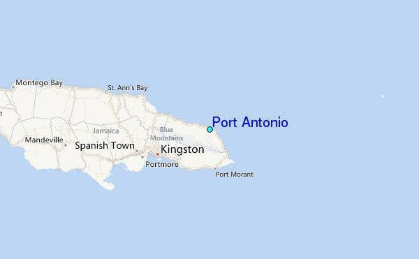