
| Distance / Altitude | Location | Report Date / Time | Live Weather | Wind | Gusts | Temp. | Visibility | Cloud |
|---|---|---|---|---|---|---|---|---|
| 15 km N / 2 m | Placida Coral Creek Airport (Florida) (Florida) | 2026-07-18 16:35 local (2026/07/18 20:35 GMT) | Thunderstorm - in the vicinity | light winds from the S (11 km/h at 170) | — | 16 | ||
| 30 km SSW / 0 m | lightning 37km WSW of Bokeelia (United States) | 2026-07-18 16:02 local (2026/07/18 20:02 GMT) | Thunderstorm | (- km/h at -) | — | |||
| 33 km NE / 211 m | Charlotte County/Punta Gorda Airport (Florida) | 2026-07-18 15:53 local (2026/07/18 19:53 GMT) | Clear | light winds from the S (15 km/h at 170) | 30°C | 16 | ||
| 35 km SW / 0 m | lightning 42km SSW of Manasota Key (United States) | 2026-07-18 16:01 local (2026/07/18 20:01 GMT) | Thunderstorm | (- km/h at -) | — | |||
| 39 km E / 3 m | BUOY-FMRF1 (Marine) | 2026-07-18 17:00 local (2026/07/18 21:00 GMT) | light winds from the S (9 km/h at 190) | 31°C | - | |||
| 41 km ESE / 218 m | Fort Myers Airport (Florida) | 2026-07-18 15:53 local (2026/07/18 19:53 GMT) | Clear | light winds from the SSE (17 km/h at 150) | 31°C | 16 | ||
| 41 km SSW / 0 m | lightning 45km WSW of Pine Island Center (United States) | 2026-07-18 16:32 local (2026/07/18 20:32 GMT) | Thunderstorm | (- km/h at -) | — | |||
| 43 km NW / 6 m | Venice Municipal Airport (Florida) (Florida) | 2026-07-18 16:35 local (2026/07/18 20:35 GMT) | Thunderstorm - in the vicinity | light winds from the SE (7 km/h at 130) | 28°C | 14 | few | |
| 44 km NW / 3 m | BUOY-VENF1 (Marine) | 2026-07-18 17:20 local (2026/07/18 21:20 GMT) | light winds from the ESE (8 km/h at 120) | 28°C | - | |||
| 50 km SSW / 0 m | lightning 48km WSW of Saint James City (United States) | 2026-07-18 16:45 local (2026/07/18 20:45 GMT) | Thunderstorm | (- km/h at -) | — |
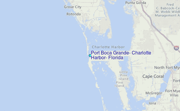
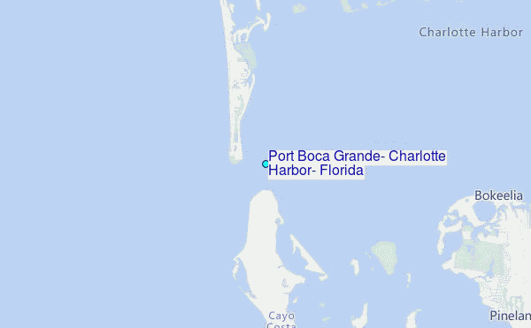
Choose Port Boca Grande, Charlotte Harbor, Florida Location Map Zoom:
| Contours: | Roads & Rivers: | Select a
tide station / surf break / city |
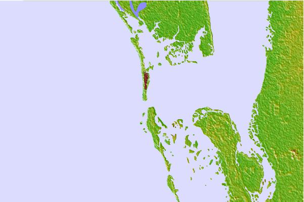

Use this relief map to navigate to tide stations, surf breaks and cities that are in the area of Port Boca Grande, Charlotte Harbor, Florida.
Other Nearby Locations' tide tables and tide charts to Port Boca Grande, Charlotte Harbor, Florida:
click location name for more details
 Surf breaks close to Port Boca Grande, Charlotte Harbor, Florida:
|
||
|---|---|---|
| Closest surf break | Venice North and South Jetty | 27 mi |
| Second closest surf break | Wiggins Pass | 39 mi |
| Third closest surf break | Point o Rocks | 40 mi |
| Fourth closest surf break | Turtle Beach | 50 mi |
| Fifth closest surf break | Siesta | 51 mi |


 Nearest
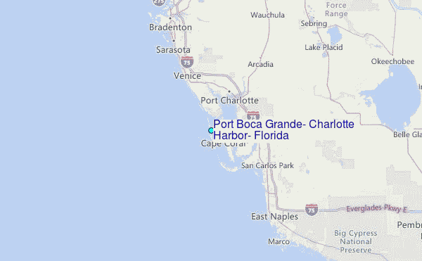