
| Distance / Altitude | Location | Report Date / Time | Live Weather | Wind | Gusts | Temp. | Visibility | Cloud |
|---|---|---|---|---|---|---|---|---|
| 2 km WSW / 15 m | Port Chalmers (New Zealand) | 2026-07-10 09:10 local (2026/07/09 21:10 GMT) | No weather report | light winds from the W (9 km/h at 270) | 7°C | - | - - - | |
| 3 km SW / 1 m | Port Chalmers wx (New Zealand) | 2026-07-10 08:23 local (2026/07/09 20:23 GMT) | dry | calm (3 km/h at 263) | 6°C | - | - - 0 | |
| 6 km NE / 4 m | Aramoana NZ (New Zealand) | 2026-07-10 09:00 local (2026/07/09 21:00 GMT) | Dry | calm (0 km/h at 45) | 2°C | - | - - - | |
| 6 km SSW / 24 m | Fairfield (New Zealand) | 2026-07-10 09:01 local (2026/07/09 21:01 GMT) | Dry | calm (0 km/h at 90) | 6°C | - | - - - | |
| 9 km WNW / 41 m | Waitati (New Zealand) | 2026-07-10 09:10 local (2026/07/09 21:10 GMT) | Dry | calm (4 km/h at 180) | 1°C | - | - - - | |
| 11 km WSW / 378 m | Leith Saddle (New Zealand) | 2026-07-10 09:10 local (2026/07/09 21:10 GMT) | Dry | wind obs. (7 kph from 180 degs) was rejected (- km/h at -) | 3°C | - | - - - | |
| 11 km SW / 119 m | Falkirk & Gladstone (New Zealand) | 2026-07-10 09:04 local (2026/07/09 21:04 GMT) | No weather report | calm (2 km/h at 135) | 6°C | - | - - - | |
| 12 km SW / 108 m | Fred Hollows Way (New Zealand) | 2026-07-10 08:44 local (2026/07/09 20:44 GMT) | No weather report | (- km/h at -) | 4°C | - | - - - | |
| 13 km SW / 157 m | Dunedin- New Zealand (New Zealand) | 2026-07-10 09:00 local (2026/07/09 21:00 GMT) | Dry | calm (2 km/h at 225) | 5°C | - | - - - | |
| 14 km WSW / 670 m | Dunedin Swampy Summit Automatic Weather Station (New Zealand) | 2026-07-10 09:10 local (2026/07/09 21:10 GMT) | No weather report | light winds from the SW (11 km/h at 225) | 0°C | - | - - - |
| Contours: | Roads & Rivers: | Select a
tide station / surf break / city |
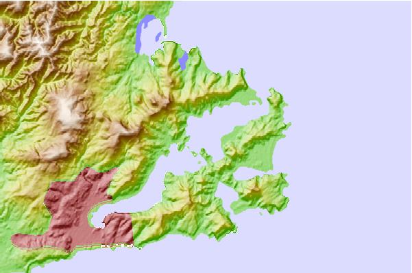
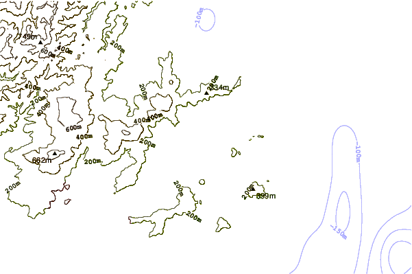
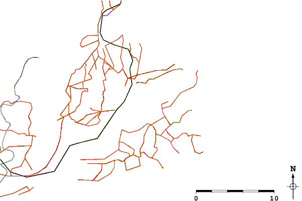
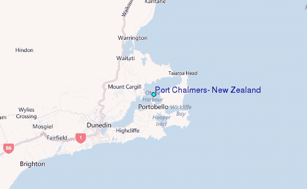
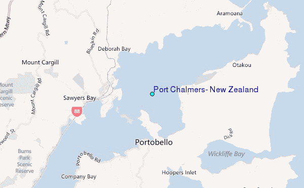
Use this relief map to navigate to tide stations, surf breaks and cities that are in the area of Port Chalmers, New Zealand.
Other Nearby Locations' tide tables and tide charts to Port Chalmers, New Zealand:
click location name for more details
 Surf breaks close to Port Chalmers, New Zealand:
|
||
|---|---|---|
| Closest surf break | Aramoana Spit | 4 mi |
| Second closest surf break | Otago Peninsula - Long Beach | 4 mi |
| Third closest surf break | Murdering Bay | 4 mi |
| Fourth closest surf break | Otago Peninsula - Allans Beach | 5 mi |
| Fifth closest surf break | Otago Peninsula - Penguin Beach | 5 mi |


 Nearest
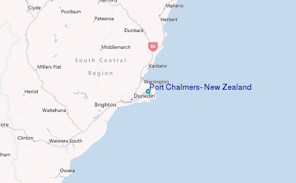