
| Distance / Altitude | Location | Report Date / Time | Live Weather | Wind | Gusts | Temp. | Visibility | Cloud |
|---|---|---|---|---|---|---|---|---|
| 6 km WNW / 215 m | Islay Port Ellen (United Kingdom) | 2026-06-26 21:20 local (2026/06/26 20:20 GMT) | Dry and partly cloudy | fresh winds from the SSE (35 km/h at 150) | 17°C | 10.0 | few scattered scattered | |
| 23 km NNE / 15 m | SHIP1227 (Marine) | 2026-06-26 21:00 local (2026/06/26 20:00 GMT) | - (- km/h at -) | — | - km | |||
| 37 km ESE / 13 m | Machrihanish (United Kingdom) | 2026-06-26 22:00 local (2026/06/26 21:00 GMT) | no report | light winds from the SSE (17 km/h at 150) | 14°C | 24 | - | |
| 23 km NNE / 3 m | SHIP895 (Marine) | 2026-06-26 21:00 local (2026/06/26 20:00 GMT) | - (- km/h at -) | — | - | |||
| 23 km NNE / 3 m | SHIP934 (Marine) | 2026-06-26 20:00 local (2026/06/26 19:00 GMT) | - (- km/h at -) | — | - | |||
| 23 km NNE / 15 m | SHIP1461 (Marine) | 2026-06-26 20:00 local (2026/06/26 19:00 GMT) | - (- km/h at -) | — | - km | |||
| 23 km NNE / 15 m | SHIP2810 (Marine) | 2026-06-26 20:00 local (2026/06/26 19:00 GMT) | - (- km/h at -) | — | - km | |||
| 23 km NNE / 3 m | SHIP560 (Marine) | 2026-06-26 20:00 local (2026/06/26 19:00 GMT) | - (- km/h at -) | — | - | |||
| 23 km NNE / 3 m | SHIP1953 (Marine) | 2026-06-26 21:00 local (2026/06/26 20:00 GMT) | - (- km/h at -) | — | - | |||
| 23 km NNE / 3 m | SHIP1092 (Marine) | 2026-06-26 20:00 local (2026/06/26 19:00 GMT) | - (- km/h at -) | — | - |
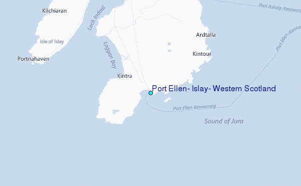
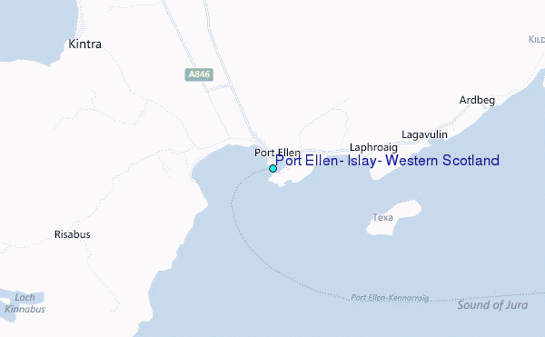
Choose Port Ellen, Islay, Western Scotland Location Map Zoom:
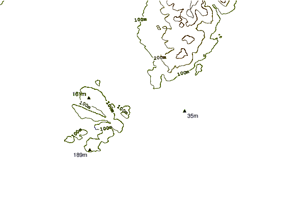
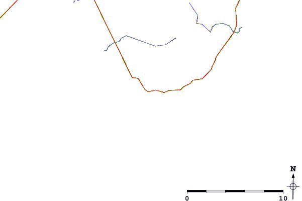
| Contours: | Roads & Rivers: | Select a
tide station / surf break / city |
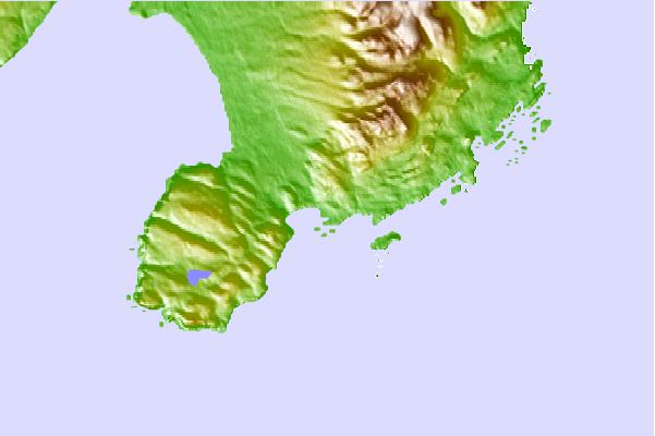
Use this relief map to navigate to tide stations, surf breaks and cities that are in the area of Port Ellen, Islay, Western Scotland.
Other Nearby Locations' tide tables and tide charts to Port Ellen, Islay, Western Scotland:
click location name for more details
 Surf breaks close to Port Ellen, Islay, Western Scotland:
|
||
|---|---|---|
| Closest surf break | Laggan Bay (Islay) | 6 mi |
| Second closest surf break | Lossit Bay (Islay) | 14 mi |
| Third closest surf break | Machir Bay (Islay) | 15 mi |
| Fourth closest surf break | Saligo (Islay) | 17 mi |
| Fifth closest surf break | Ardnave Point and Bay (Islay) | 18 mi |


 Nearest
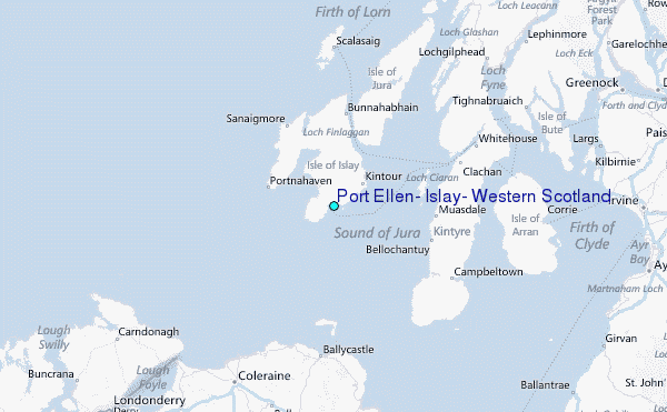