
| Distance / Altitude | Location | Report Date / Time | Live Weather | Wind | Gusts | Temp. | Visibility | Cloud |
|---|---|---|---|---|---|---|---|---|
| 207 km ESE / 611 m | Malabo/Fernando Poo Airport (Equatorial Guinea) | 2026-07-09 20:00 local (2026/07/09 19:00 GMT) | - | light winds from the SW (11 km/h at 220) | — | 10 | scattered - - | |
| 294 km ESE / 209 m | Douala Airport (Cameroon) | 2026-07-09 19:00 local (2026/07/09 18:00 GMT) | Drizzle | calm (2 km/h at 1) | 25°C | 1.6 | scattered broken few | |
| 294 km ESE / 209 m | Douala Airport (Cameroon) | 2026-07-09 19:00 local (2026/07/09 18:00 GMT) | Drizzle | calm (2 km/h at 1) | 25°C | 1.6 | scattered broken few | |
| 310 km WSW / 0 m | lightning 164km SW of Burutu (Nigeria) | 2026-07-09 19:04 local (2026/07/09 18:04 GMT) | Thunderstorm | (- km/h at -) | — | |||
| 335 km WSW / 3 m | SHIP1256 (Marine) | 2026-07-09 20:00 local (2026/07/09 19:00 GMT) | - (- km/h at -) | 25°C | - | |||
| 336 km WSW / 15 m | SHIP1985 (Marine) | 2026-07-09 20:00 local (2026/07/09 19:00 GMT) | - (- km/h at -) | — | - km | |||
| 362 km W / 3 m | SHIP767 (Marine) | 2026-07-09 19:00 local (2026/07/09 18:00 GMT) | - (- km/h at -) | 25°C | - | |||
| 362 km W / 3 m | SHIP2824 (Marine) | 2026-07-09 19:00 local (2026/07/09 18:00 GMT) | - (- km/h at -) | 25°C | - | |||
| 362 km W / 15 m | SHIP3518 (Marine) | 2026-07-09 19:00 local (2026/07/09 18:00 GMT) | - (- km/h at -) | — | - km | |||
| 362 km W / 15 m | SHIP6440 (Marine) | 2026-07-09 19:00 local (2026/07/09 18:00 GMT) | - (- km/h at -) | — | - km |
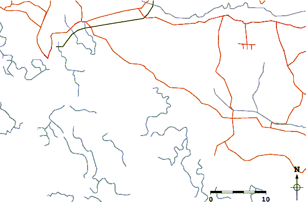
| Contours: | Roads & Rivers: | Select a
tide station / surf break / city |
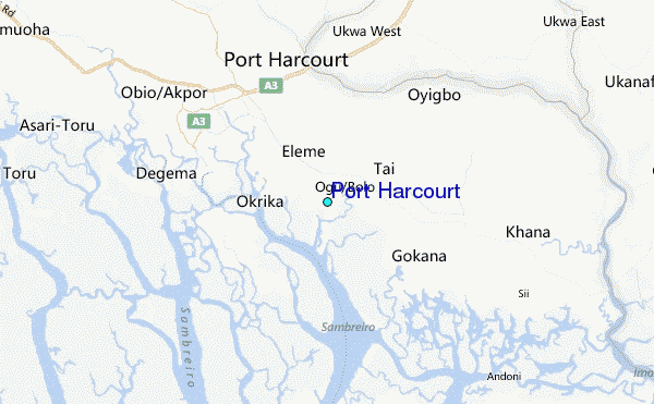
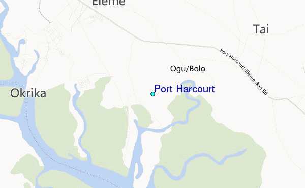
Use this relief map to navigate to tide stations, surf breaks and cities that are in the area of Port Harcourt.
Other Nearby Locations' tide tables and tide charts to Port Harcourt:
click location name for more details
 Surf breaks close to Port Harcourt:
|
||
|---|---|---|
| Closest surf break | Seme Beach Limbe | 144 mi |
| Second closest surf break | Kribi | 226 mi |
| Third closest surf break | Lighthouse Beach | 284 mi |
| Fourth closest surf break | Tarqua Bay | 285 mi |
| Fifth closest surf break | Shipwreck | 301 mi |


 Nearest
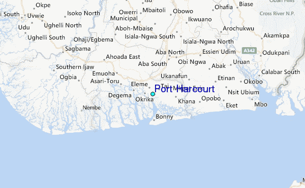