
| Distance / Altitude | Location | Report Date / Time | Live Weather | Wind | Gusts | Temp. | Visibility | Cloud |
|---|---|---|---|---|---|---|---|---|
| 10 km SW / 3 m | BUOY-FFIA2 (Marine) | 2026-06-23 19:00 local (2026/06/24 03:00 GMT) | moderate winds from the WSW (28 km/h at 240) | 13°C | - | |||
| 34 km SSW / 3 m | SHIP8595 (Marine) | 2026-06-23 18:00 local (2026/06/24 02:00 GMT) | moderate winds from the WSW (28 km/h at 240) | 12°C | - | |||
| 47 km SSW / 215 m | Kake Airport (Alaska) | 2026-06-23 17:56 local (2026/06/24 01:56 GMT) | Dry and cloudy | light winds from the W (9 km/h at 280) | 17°C | 16 | overcast | |
| 39 km SSW / 15 m | SHIP2654 (Marine) | 2026-06-23 18:00 local (2026/06/24 02:00 GMT) | moderate winds from the SW (20.52 km/h at 230) | — | - km | |||
| 47 km SSW / 215 m | Kake Airport (Alaska) | 2026-06-23 17:56 local (2026/06/24 01:56 GMT) | Dry and cloudy | light winds from the W (9 km/h at 280) | 17°C | 16 | overcast | |
| 52 km S / 15 m | SHIP2565 (Marine) | 2026-06-23 18:00 local (2026/06/24 02:00 GMT) | calm (5.4 km/h at 300) | 11°C | - km | |||
| 52 km S / 15 m | SHIP6685 (Marine) | 2026-06-23 18:00 local (2026/06/24 02:00 GMT) | light winds from the NW (9.360000000000001 km/h at 310) | 11°C | - km | |||
| 52 km S / 15 m | SHIP1684 (Marine) | 2026-06-23 17:00 local (2026/06/24 01:00 GMT) | light winds from the WNW (16.56 km/h at 290) | 12°C | - km | |||
| 52 km S / 15 m | SHIP7074 (Marine) | 2026-06-23 17:00 local (2026/06/24 01:00 GMT) | light winds from the WNW (14.76 km/h at 300) | 11°C | - km | |||
| 52 km S / 15 m | SHIP4564 (Marine) | 2026-06-23 17:00 local (2026/06/24 01:00 GMT) | light winds from the WNW (14.76 km/h at 300) | 11°C | - km |
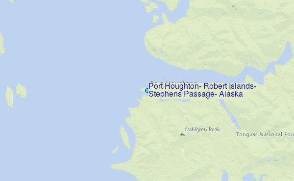
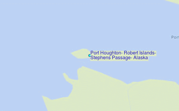
Choose Port Houghton, Robert Islands, Stephens Passage, Alaska Location Map Zoom:
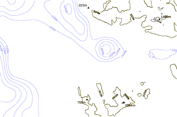
| Contours: | Roads & Rivers: | Select a
tide station / surf break / city |

Use this relief map to navigate to tide stations, surf breaks and cities that are in the area of Port Houghton, Robert Islands, Stephens Passage, Alaska.
Other Nearby Locations' tide tables and tide charts to Port Houghton, Robert Islands, Stephens Passage, Alaska:
click location name for more details
 Surf breaks close to Port Houghton, Robert Islands, Stephens Passage, Alaska:
|
||
|---|---|---|
| Closest surf break | Lepus Beach (Haida-Gwaii) | 217 mi |
| Second closest surf break | Tow Hill Beach | 232 mi |
| Third closest surf break | Cannon Beach | 274 mi |
| Fourth closest surf break | Graveyards | 277 mi |
| Fifth closest surf break | Ocean Cape | 278 mi |


 Nearest
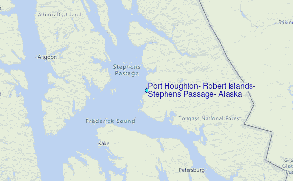