
| Distance / Altitude | Location | Report Date / Time | Live Weather | Wind | Gusts | Temp. | Visibility | Cloud |
|---|---|---|---|---|---|---|---|---|
| 13 km SW / 32 m | Roatan (Honduras) | 2026-06-24 07:34 local (2026/06/24 13:34 GMT) | dry | wind obs. (0 kph from 183 degs) was rejected (- km/h at -) | 28°C | - | - - 0 | |
| 21 km SW / 3 m | SHIP9090 (Marine) | 2026-06-24 07:00 local (2026/06/24 13:00 GMT) | - (- km/h at -) | 27°C | - | |||
| 22 km SW / 230 m | Roatan (Honduras) | 2026-06-24 07:00 local (2026/06/24 13:00 GMT) | - | fresh winds from the E (31 km/h at 100) | 29°C | 8.0 | few - - | |
| 21 km SW / 15 m | SHIP1195 (Marine) | 2026-06-24 07:00 local (2026/06/24 13:00 GMT) | - (- km/h at -) | — | - km | |||
| 21 km SW / 3 m | SHIP7877 (Marine) | 2026-06-24 07:00 local (2026/06/24 13:00 GMT) | - (- km/h at -) | 27°C | - | |||
| 21 km SW / 3 m | SHIP1984 (Marine) | 2026-06-24 08:00 local (2026/06/24 14:00 GMT) | - (- km/h at -) | 28°C | - | |||
| 21 km SW / 15 m | SHIP2089 (Marine) | 2026-06-24 08:00 local (2026/06/24 14:00 GMT) | - (- km/h at -) | — | - km | |||
| 21 km SW / 3 m | SHIP4177 (Marine) | 2026-06-24 08:00 local (2026/06/24 14:00 GMT) | - (- km/h at -) | 28°C | - | |||
| 21 km SW / 3 m | SHIP1256 (Marine) | 2026-06-24 07:00 local (2026/06/24 13:00 GMT) | - (- km/h at -) | 27°C | - | |||
| 21 km SW / 3 m | SHIP10586 (Marine) | 2026-06-24 07:00 local (2026/06/24 13:00 GMT) | - (- km/h at -) | 27°C | - |
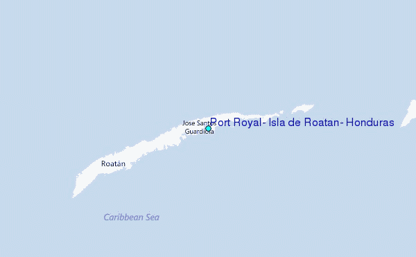
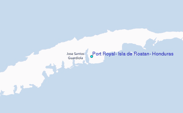
Choose Port Royal, Isla de Roatan, Honduras Location Map Zoom:
| Contours: | Roads & Rivers: | Select a
tide station / surf break / city |
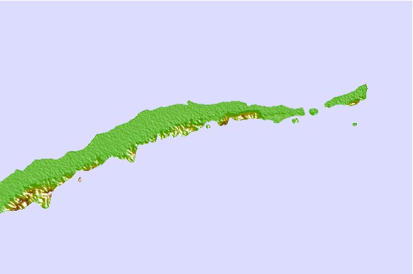
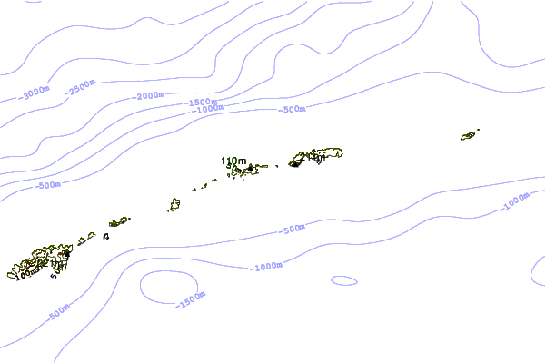
Use this relief map to navigate to tide stations, surf breaks and cities that are in the area of Port Royal, Isla de Roatan, Honduras.
Other Nearby Locations' tide tables and tide charts to Port Royal, Isla de Roatan, Honduras:
click location name for more details
 Surf breaks close to Port Royal, Isla de Roatan, Honduras:
|
||
|---|---|---|
| Closest surf break | Palma Real | 42 mi |
| Second closest surf break | East Point Long Cay | 140 mi |
| Third closest surf break | San Pedro South Reef Pass | 149 mi |
| Fourth closest surf break | San Pedro North Reef Pass | 150 mi |
| Fifth closest surf break | Rocky Point | 154 mi |


 Nearest
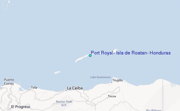