
| Distance / Altitude | Location | Report Date / Time | Live Weather | Wind | Gusts | Temp. | Visibility | Cloud |
|---|---|---|---|---|---|---|---|---|
| 54 km SSW / 161 m | Coffee Bay (South Africa) | 2026-07-09 21:00 local (2026/07/09 19:00 GMT) | no report | wind obs. (6 kph from 360 degs) was rejected (- km/h at -) | — | - | - | |
| 78 km ESE / 98 m | Margate (S. Africa) | 2026-07-09 20:00 local (2026/07/09 18:00 GMT) | no report | wind obs. (4 kph from 190 degs) was rejected (- km/h at -) | 19°C | - | - | |
| 82 km E / 15 m | ASCATB30E32S (Marine) | 2026-07-09 20:42 local (2026/07/09 18:42 GMT) | moderate winds from the SSW (28 km/h at 195) | — | - km | |||
| 84 km WSW / 747 m | Umtata (South Africa) | 2026-07-09 21:00 local (2026/07/09 19:00 GMT) | no report | wind obs. (9 kph from 30 degs) was rejected (- km/h at -) | 17°C | - | - - - | |
| 85 km WSW / 752 m | Mthatha Airport (South Africa) | 2026-07-09 20:00 local (2026/07/09 18:00 GMT) | - | wind obs. (7 kph from 150 degs) was rejected (- km/h at -) | 12°C | |||
| 94 km E / 15 m | ASCATB31E32S (Marine) | 2026-07-09 20:42 local (2026/07/09 18:42 GMT) | moderate winds from the SSW (27 km/h at 196) | — | - km | |||
| 99 km SSE / 15 m | ASCATB30E33S (Marine) | 2026-07-09 20:41 local (2026/07/09 18:41 GMT) | fresh winds from the SW (33 km/h at 235) | — | - km | |||
| 119 km NE / 506 m | Paddock (South Africa) | 2026-07-09 20:00 local (2026/07/09 18:00 GMT) | no report | wind obs. (6 kph from 340 degs) was rejected (- km/h at -) | 18°C | - | - | |
| 126 km N / 1443 m | Kokstad (South Africa) | 2026-07-09 20:00 local (2026/07/09 18:00 GMT) | no report | wind obs. (6 kph from 150 degs) was rejected (- km/h at -) | 15°C | - | - | |
| 138 km SE / 15 m | ASCATB31E33S (Marine) | 2026-07-09 20:41 local (2026/07/09 18:41 GMT) | fresh winds from the SW (30 km/h at 223) | — | - km |
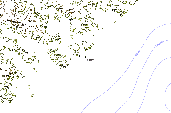
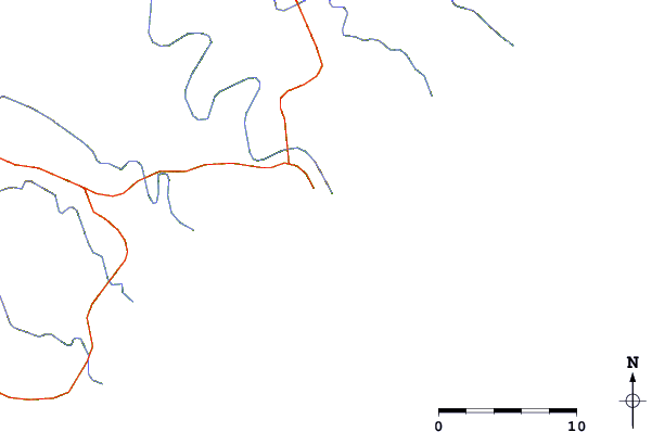
| Contours: | Roads & Rivers: | Select a
tide station / surf break / city |
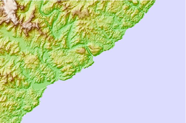
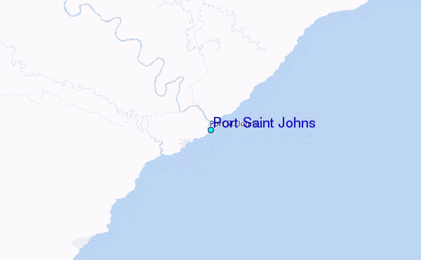
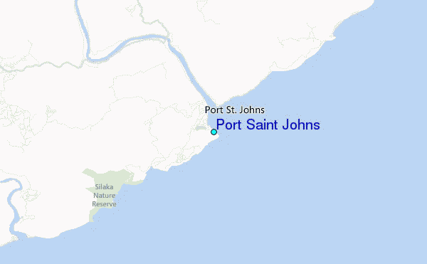
Use this relief map to navigate to tide stations, surf breaks and cities that are in the area of Port Saint Johns.
Other Nearby Locations' tide tables and tide charts to Port Saint Johns:
click location name for more details
 Surf breaks close to Port Saint Johns:
|
||
|---|---|---|
| Closest surf break | Second Beach (Port St Johns) | 0 mi |
| Second closest surf break | Port St Johns | 1 mi |
| Third closest surf break | Mntafufu | 4 mi |
| Fourth closest surf break | Mngazi | 6 mi |
| Fifth closest surf break | Mpande Bay | 14 mi |


 Nearest
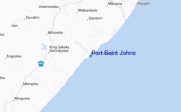