
| Distance / Altitude | Location | Report Date / Time | Live Weather | Wind | Gusts | Temp. | Visibility | Cloud |
|---|---|---|---|---|---|---|---|---|
| 8 km E / 1 m | Eden wx (United States) | 2026-06-02 04:20 local (2026/06/02 08:20 GMT) | dry | wind obs. (6 kph from 228 degs) was rejected (- km/h at -) | 25°C | - | - - 0 | |
| 12 km NE / 6 m | Ankona wx (United States) | 2026-06-02 03:11 local (2026/06/02 07:11 GMT) | dry | light winds from the SW (6 km/h at 221) | 26°C | - | - - 0 | |
| 15 km SE / 1 m | Palm City (Florida) | 2026-06-02 04:03 local (2026/06/02 08:03 GMT) | dry | calm (5 km/h at 225) | 25°C | - | - - 0 | |
| 16 km S / 7 m | Palm City (Florida) | 2026-06-02 03:29 local (2026/06/02 07:29 GMT) | dry | - (- km/h at ) | — | - | - - 0 | |
| 17 km SE / 240 m | Stuart/Witham Field Airport (Florida) | 2026-06-02 03:35 local (2026/06/02 07:35 GMT) | Clear | light winds from the SW (11 km/h at 230) | 25°C | 16 | ||
| 20 km SSE / 4 m | Queens Park wx (United States) | 2026-06-02 04:00 local (2026/06/02 08:00 GMT) | - | - (- km/h at ) | 24°C | - | - - 0 | |
| 22 km NNE / 7 m | Fort Pierce (Florida) | 2026-06-02 04:14 local (2026/06/02 08:14 GMT) | dry | wind obs. (6 kph from 237 degs) was rejected (- km/h at -) | 26°C | - | - - 0 | |
| 23 km SE / 7 m | Stuart (Florida) | 2026-06-02 04:11 local (2026/06/02 08:11 GMT) | dry | calm (0 km/h at 261) | 25°C | - | - - 0 | |
| 24 km SSW / 7 m | Zana wx (United States) | 2026-06-02 04:00 local (2026/06/02 08:00 GMT) | - | - (- km/h at ) | 24°C | - | - - 0 | |
| 25 km N / 218 m | Fort Pierce Airport (Florida) | 2026-06-02 03:53 local (2026/06/02 07:53 GMT) | Clear | light winds from the SW (6 km/h at 230) | 24°C | 16 |
| Contours: | Roads & Rivers: | Select a
tide station / surf break / city |
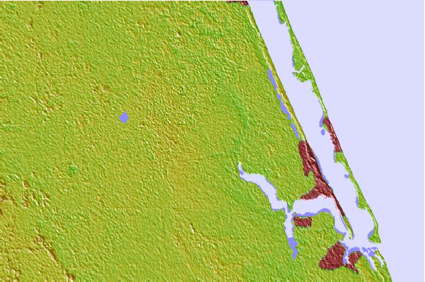

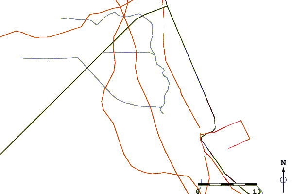
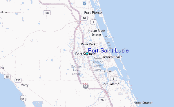
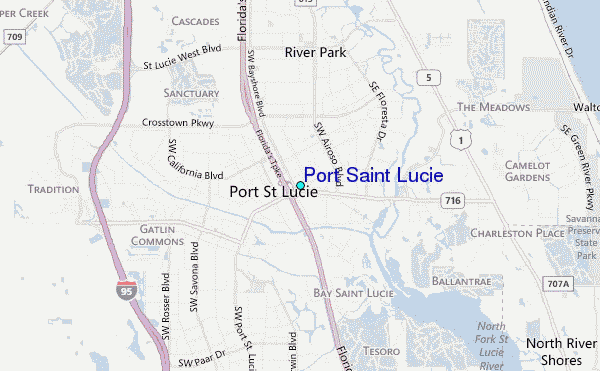
Use this relief map to navigate to tide stations, surf breaks and cities that are in the area of Port Saint Lucie.
Other Nearby Locations' tide tables and tide charts to Port Saint Lucie:
click location name for more details
 Surf breaks close to Port Saint Lucie:
|
||
|---|---|---|
| Closest surf break | Walton Rocks (Power Plant) | 9 mi |
| Second closest surf break | Jensen Beach | 10 mi |
| Third closest surf break | Stuart Public Beach | 12 mi |
| Fourth closest surf break | Fort Pierce North Jetty | 13 mi |
| Fifth closest surf break | Stuart Rocks | 14 mi |


 Nearest
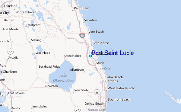