
| Distance / Altitude | Location | Report Date / Time | Live Weather | Wind | Gusts | Temp. | Visibility | Cloud |
|---|---|---|---|---|---|---|---|---|
| 0 km ENE / 3 m | BUOY-OPTF1 (Marine) | 2026-07-08 12:30 local (2026/07/08 16:30 GMT) | light winds from the SW (8 km/h at 220) | 31°C | - | |||
| 4 km ESE / 212 m | MacDill Air Force Base/Tampa Airport (Florida) | 2026-07-08 12:55 local (2026/07/08 16:55 GMT) | Thunderstorm - in the vicinity | wind obs. (11 kph from 190 degs) was rejected (- km/h at -) | 34°C | 16 | broken | |
| 12 km N / 218 m | Tampa Airport (Florida) | 2026-07-08 11:53 local (2026/07/08 15:53 GMT) | Dry and partly cloudy | light winds from the SW (11 km/h at 230) | 32°C | 16 | few scattered | |
| 12 km WNW / 0 m | thunderstorm affecting Feather Sound (United States) | 2026-07-08 13:16 local (2026/07/08 17:16 GMT) | Thunderstorm | (- km/h at -) | — | |||
| 12 km NW / 0 m | lightning 6km SE of Tampa (United States) | 2026-07-08 13:16 local (2026/07/08 17:16 GMT) | Thunderstorm | (- km/h at -) | — | |||
| 12 km NE / 3 m | BUOY-SKCF1 (Marine) | 2026-07-08 12:30 local (2026/07/08 16:30 GMT) | light winds from the SSE (11 km/h at 150) | — | - | |||
| 13 km SSW / 218 m | St Peters/Albert Whitted Airport (Florida) | 2026-07-08 11:53 local (2026/07/08 15:53 GMT) | Clear | light winds from the E (7 km/h at 80) | 32°C | 16 | ||
| 13 km ENE / 220 m | Tampa- Peter O Knight Airport (FL) (United States) | 2026-07-08 12:35 local (2026/07/08 16:35 GMT) | Clear | light winds from the S (11 km/h at 180) | 34°C | 14 | ||
| 13 km SSW / 3 m | BUOY-SAPF1 (Marine) | 2026-07-08 12:30 local (2026/07/08 16:30 GMT) | calm (5 km/h at 120) | 33°C | - | |||
| 14 km W / 218 m | ST Petersburg Airport (Florida) | 2026-07-08 11:53 local (2026/07/08 15:53 GMT) | Clear | light winds from the ENE (11 km/h at 60) | 32°C | 16 |
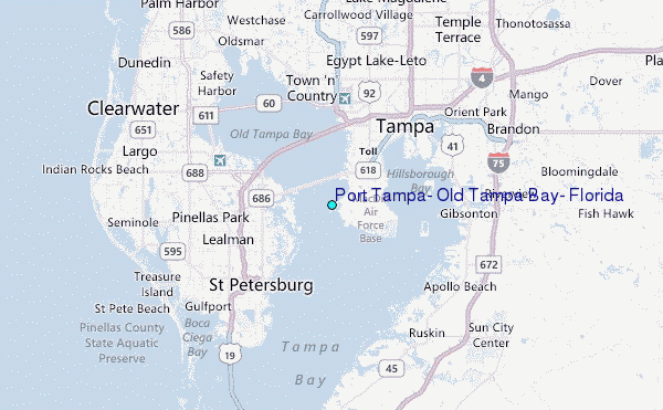
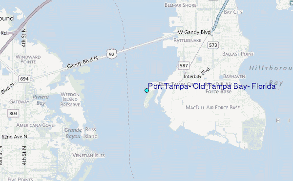
Choose Port Tampa, Old Tampa Bay, Florida Location Map Zoom:
| Contours: | Roads & Rivers: | Select a
tide station / surf break / city |
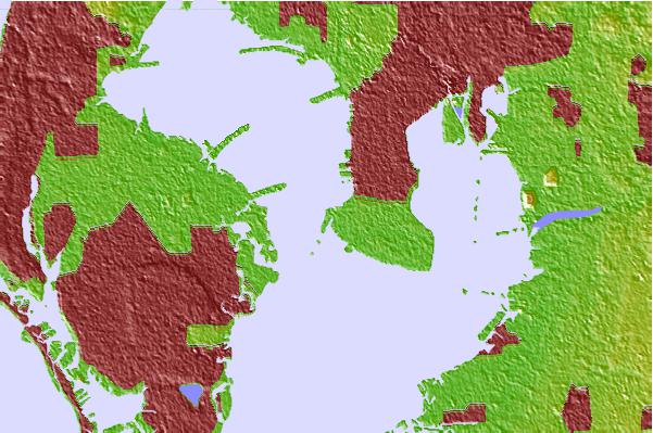
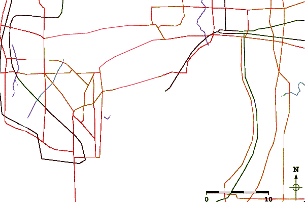
Use this relief map to navigate to tide stations, surf breaks and cities that are in the area of Port Tampa, Old Tampa Bay, Florida.
Other Nearby Locations' tide tables and tide charts to Port Tampa, Old Tampa Bay, Florida:
click location name for more details
 Surf breaks close to Port Tampa, Old Tampa Bay, Florida:
|
||
|---|---|---|
| Closest surf break | Sunset Beach | 15 mi |
| Second closest surf break | Upham Beach | 15 mi |
| Third closest surf break | Redington Breakwater | 17 mi |
| Fourth closest surf break | Indian Rocks Beach | 18 mi |
| Fifth closest surf break | Bellair Beach | 19 mi |


 Nearest
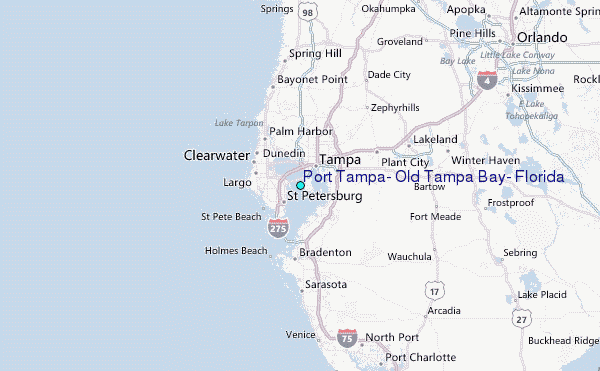