
| Distance / Altitude | Location | Report Date / Time | Live Weather | Wind | Gusts | Temp. | Visibility | Cloud |
|---|---|---|---|---|---|---|---|---|
| 17 km SE / 1225 m | lightning 6km E of Kenscoff (Haiti) | 2026-07-09 14:02 local (2026/07/09 18:02 GMT) | Thunderstorm | (- km/h at -) | — | |||
| 90 km NE / 426 m | lightning 4km WNW of Cerca la Source (Haiti) | 2026-07-09 15:03 local (2026/07/09 19:03 GMT) | Thunderstorm | (- km/h at -) | — | |||
| 115 km WSW / 260 m | lightning 12km NNW of Aquin (Haiti) | 2026-07-09 15:47 local (2026/07/09 19:47 GMT) | Thunderstorm | (- km/h at -) | — | |||
| 134 km N / 2 m | Cap-haitien Airport (Haiti) | 2026-07-09 14:00 local (2026/07/09 18:00 GMT) | Dry and partly cloudy | fresh winds from the NE (31 km/h at 50) | 31°C | 9.0 | few scattered | |
| 138 km ESE / 360 m | Barahona Airport (Dominican Republic) | 2026-07-09 14:00 local (2026/07/09 18:00 GMT) | - | fresh winds from the SE (30 km/h at 130) | 32°C | 10.0 | few few scattered | |
| 148 km ENE / 720 m | lightning 7km N of Bohechio (Dominican Republic) | 2026-07-09 13:47 local (2026/07/09 17:47 GMT) | Thunderstorm | (- km/h at -) | — | |||
| 178 km NE / 64 m | Mao (Dominican Republic) | 2026-07-09 15:47 local (2026/07/09 19:47 GMT) | dry | light winds from the SE (14 km/h at 146) | 30°C | - | - - 0 | |
| 190 km ESE / 0 m | lightning 17km SSW of Sabana Buey (Dominican Republic) | 2026-07-09 15:17 local (2026/07/09 19:17 GMT) | Thunderstorm | (- km/h at -) | — | |||
| 192 km E / 951 m | lightning 15km E of Tireo Arriba (Dominican Republic) | 2026-07-09 14:48 local (2026/07/09 18:48 GMT) | Thunderstorm | (- km/h at -) | — | |||
| 195 km E / 707 m | lightning 14km WSW of Bonao (Dominican Republic) | 2026-07-09 13:47 local (2026/07/09 17:47 GMT) | Thunderstorm | (- km/h at -) | — |
| Contours: | Roads & Rivers: | Select a
tide station / surf break / city |
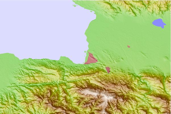
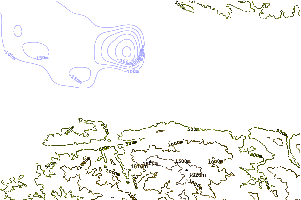
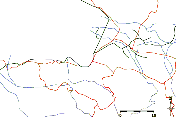
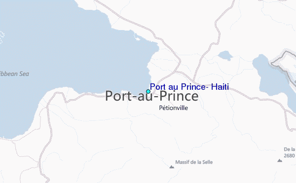
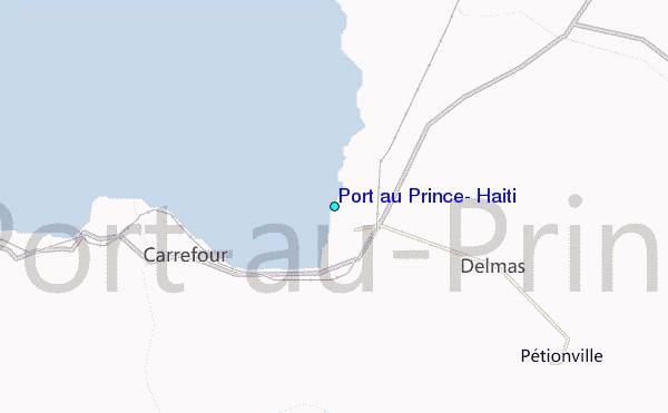
Use this relief map to navigate to tide stations, surf breaks and cities that are in the area of Port au Prince, Haiti.
Other Nearby Locations' tide tables and tide charts to Port au Prince, Haiti:
click location name for more details
 Surf breaks close to Port au Prince, Haiti:
|
||
|---|---|---|
| Closest surf break | Jacmel | 26 mi |
| Second closest surf break | Bahia de las Aguilas | 67 mi |
| Third closest surf break | Paraiso | 85 mi |
| Fourth closest surf break | San Rafael | 85 mi |
| Fifth closest surf break | La Cienega | 86 mi |


 Nearest
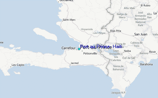