
| Distance / Altitude | Location | Report Date / Time | Live Weather | Wind | Gusts | Temp. | Visibility | Cloud |
|---|---|---|---|---|---|---|---|---|
| 5 km S / 3 m | BUOY-MNPV2 (Marine) | 2026-07-25 20:30 local (2026/07/26 00:30 GMT) | calm (4 km/h at 300) | 22°C | - | |||
| 9 km NW / 3 m | BUOY-CRYV2 (Marine) | 2026-07-25 20:30 local (2026/07/26 00:30 GMT) | light winds from the N (9 km/h at 350) | 23°C | - | |||
| 11 km NNE / 218 m | Norfolk Naval Station (Chambers Field) Airport (Virginia) | 2026-07-25 20:59 local (2026/07/26 00:59 GMT) | Dry and partly cloudy | light winds from the N (7 km/h at 360) | 22°C | 16 | broken | |
| 12 km NE / 219 m | Norfolk Airport (Virginia) | 2026-07-25 19:51 local (2026/07/25 23:51 GMT) | Dry and cloudy | light winds from the N (6 km/h at 1) | 23°C | 16 | broken overcast | |
| 14 km NW / 3 m | BUOY-SWPV2 (Marine) | 2026-07-25 20:30 local (2026/07/26 00:30 GMT) | - (- km/h at -) | 23°C | - | |||
| 15 km SW / 7 m | Hampton Roads Executive Airport - Norfolk (Virginia) (Virginia) | 2026-07-25 19:56 local (2026/07/25 23:56 GMT) | Clear | calm (0 km/h at 0) | 21°C | 16 | ||
| 17 km S / 217 m | Chesapeake Airport (Virginia) | 2026-07-25 20:35 local (2026/07/26 00:35 GMT) | Dry and partly cloudy | calm (0 km/h at 0) | 20°C | 16 | scattered scattered | |
| 17 km SSE / 5 m | Battlewood Meadows wx (United States) | 2026-07-25 20:10 local (2026/07/26 00:10 GMT) | dry | calm (0 km/h at 350) | — | - | - - 0 | |
| 18 km N / 3 m | BUOY-WDSV2 (Marine) | 2026-07-25 20:30 local (2026/07/26 00:30 GMT) | light winds from the N (9 km/h at 10) | 23°C | - | |||
| 19 km WNW / 3 m | BUOY-DOMV2 (Marine) | 2026-07-25 20:30 local (2026/07/26 00:30 GMT) | light winds from the NNE (8 km/h at 30) | 23°C | - |
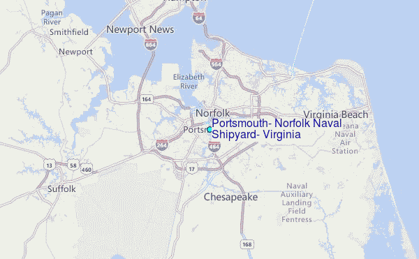
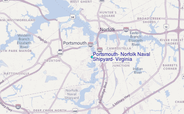
Choose Portsmouth, Norfolk Naval Shipyard, Virginia Location Map Zoom:
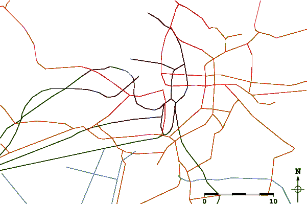
| Contours: | Roads & Rivers: | Select a
tide station / surf break / city |
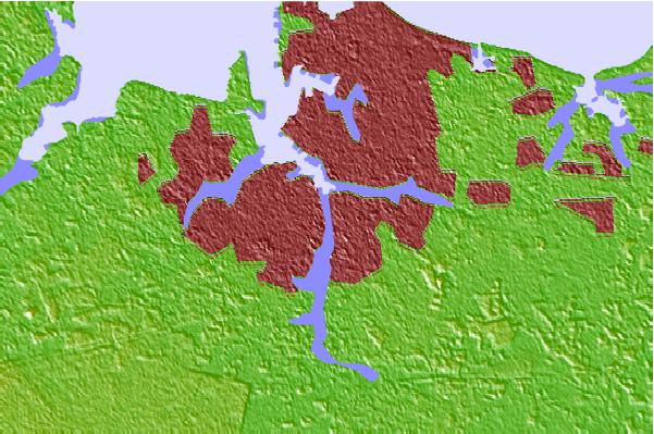
Use this relief map to navigate to tide stations, surf breaks and cities that are in the area of Portsmouth, Norfolk Naval Shipyard, Virginia.
Other Nearby Locations' tide tables and tide charts to Portsmouth, Norfolk Naval Shipyard, Virginia:
click location name for more details
 Surf breaks close to Portsmouth, Norfolk Naval Shipyard, Virginia:
|
||
|---|---|---|
| Closest surf break | 42nd St VA Beach | 17 mi |
| Second closest surf break | 81st Street | 18 mi |
| Third closest surf break | North End | 18 mi |
| Fourth closest surf break | Virginia Beach | 18 mi |
| Fifth closest surf break | Croatan | 19 mi |


 Nearest
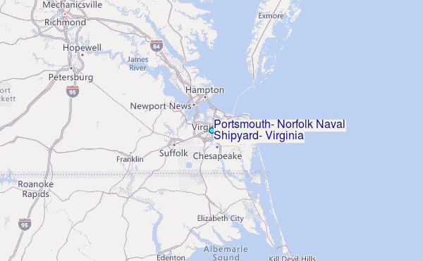