
| Distance / Altitude | Location | Report Date / Time | Live Weather | Wind | Gusts | Temp. | Visibility | Cloud |
|---|---|---|---|---|---|---|---|---|
| 52 km S / 124 m | Kunsan Air Base Airport (Korea) | 2026-07-10 02:55 local (2026/07/09 17:55 GMT) | Dry and partly cloudy | light winds from the SE (13 km/h at 140) | 25°C | 16 | scattered broken | |
| 56 km ENE / 22 m | Gongju Rws Airport (South Korea) | 2026-07-10 03:40 local (2026/07/09 18:40 GMT) | - | calm (2 km/h at 290) | 24°C | 10.0 | few | |
| 73 km SW / 15 m | SHIP2051 (Marine) | 2026-07-10 03:00 local (2026/07/09 18:00 GMT) | calm (0.0 km/h at 200) | 24°C | - km | |||
| 73 km SW / 3 m | BUOY-22108 South Korea (Marine) | 2026-07-10 04:00 local (2026/07/09 19:00 GMT) | - (0 km/h at -) | 25°C | - | |||
| 78 km NNE / 103 m | Pyongtaek Airport (Korea) | 2026-07-10 02:55 local (2026/07/09 17:55 GMT) | Dry and partly cloudy | light winds from the SE (6 km/h at 140) | 25°C | 16 | broken | |
| 74 km SW / 15 m | SHIP2382 (Marine) | 2026-07-10 02:00 local (2026/07/09 17:00 GMT) | - (- km/h at -) | 24°C | - km | |||
| 74 km SW / 15 m | SHIP1480 (Marine) | 2026-07-10 03:00 local (2026/07/09 18:00 GMT) | calm (0.0 km/h at 200) | 24°C | - km | |||
| 74 km SW / 3 m | BUOY-22108 South Korea (Marine) | 2026-07-10 04:00 local (2026/07/09 19:00 GMT) | - (0 km/h at -) | 25°C | - | |||
| 74 km SW / 15 m | SHIP3646 (Marine) | 2026-07-10 02:00 local (2026/07/09 17:00 GMT) | - (- km/h at -) | 24°C | - km | |||
| 74 km SW / 15 m | SHIP5910 (Marine) | 2026-07-10 03:00 local (2026/07/09 18:00 GMT) | calm (0.0 km/h at 200) | 24°C | - km |
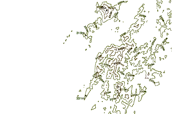
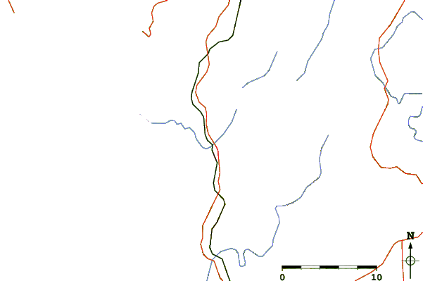
| Contours: | Roads & Rivers: | Select a
tide station / surf break / city |
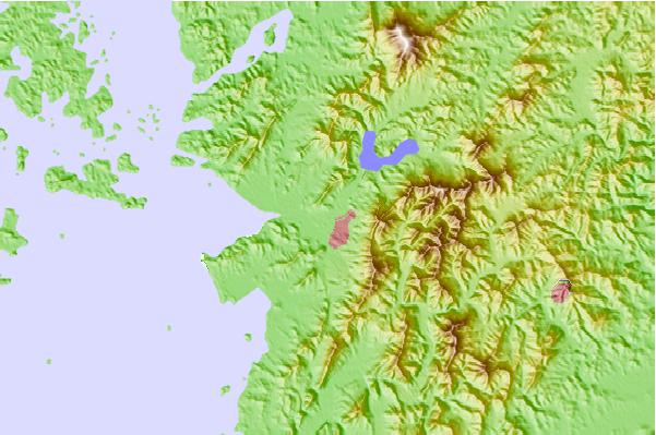
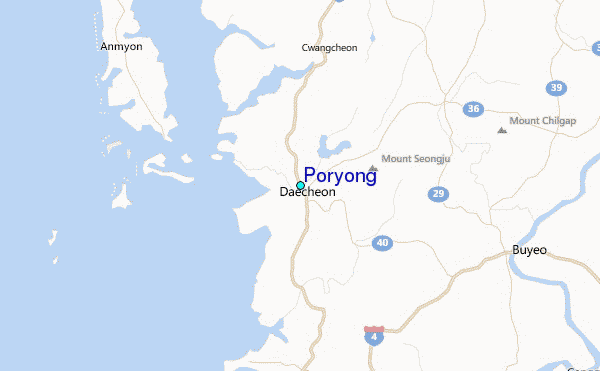
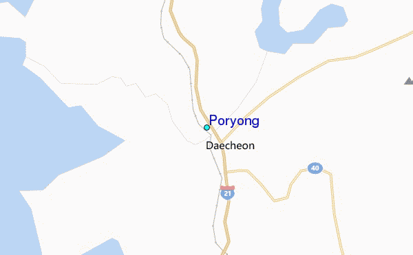
Use this relief map to navigate to tide stations, surf breaks and cities that are in the area of Poryong.
Other Nearby Locations' tide tables and tide charts to Poryong:
click location name for more details
 Surf breaks close to Poryong:
|
||
|---|---|---|
| Closest surf break | Gyongpo Beach | 162 mi |
| Second closest surf break | Jumunjin | 163 mi |
| Third closest surf break | Ingu Beach | 164 mi |
| Fourth closest surf break | 38 Line | 164 mi |
| Fifth closest surf break | Busan (Haeundae Beach) | 166 mi |


 Nearest
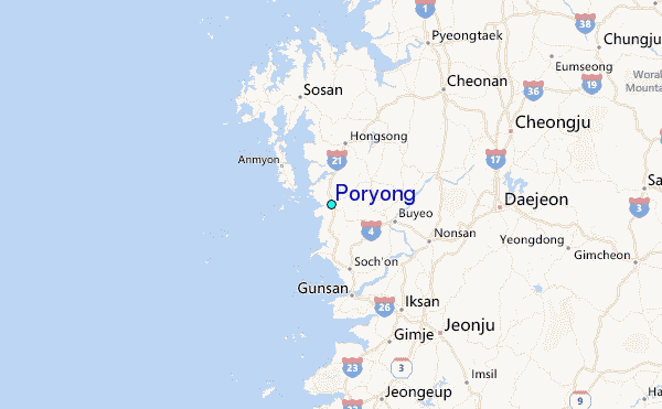