
| Distance / Altitude | Location | Report Date / Time | Live Weather | Wind | Gusts | Temp. | Visibility | Cloud |
|---|---|---|---|---|---|---|---|---|
| 7 km E / 3 m | SHIP6066 (Marine) | 2026-07-09 12:00 local (2026/07/09 18:00 GMT) | - (- km/h at -) | 32°C | - | |||
| 18 km E / 0 m | lightning 18km NE of Progreso (Mexico) | 2026-07-09 14:34 local (2026/07/09 20:34 GMT) | Thunderstorm | (- km/h at -) | — | |||
| 22 km SE / 4 m | thunderstorm affecting Chicxulub (Mexico) | 2026-07-09 14:18 local (2026/07/09 20:18 GMT) | Thunderstorm | (- km/h at -) | — | |||
| 26 km E / 1 m | lightning 16km NW of Dzemul (Mexico) | 2026-07-09 14:18 local (2026/07/09 20:18 GMT) | Thunderstorm | (- km/h at -) | — | |||
| 27 km ESE / 4 m | lightning 10km NNE of Ixil (Mexico) | 2026-07-09 14:18 local (2026/07/09 20:18 GMT) | Thunderstorm | (- km/h at -) | — | |||
| 7 km E / 15 m | SHIP7366 (Marine) | 2026-07-09 12:00 local (2026/07/09 18:00 GMT) | - (- km/h at -) | — | - km | |||
| 7 km E / 15 m | SHIP5765 (Marine) | 2026-07-09 13:00 local (2026/07/09 19:00 GMT) | - (- km/h at -) | — | - km | |||
| 7 km E / 3 m | SHIP3312 (Marine) | 2026-07-09 12:00 local (2026/07/09 18:00 GMT) | - (- km/h at -) | 32°C | - | |||
| 7 km E / 3 m | SHIP543 (Marine) | 2026-07-09 13:00 local (2026/07/09 19:00 GMT) | - (- km/h at -) | 34°C | - | |||
| 7 km E / 15 m | SHIP1670 (Marine) | 2026-07-09 12:00 local (2026/07/09 18:00 GMT) | - (- km/h at -) | — | - km |
| Contours: | Roads & Rivers: | Select a
tide station / surf break / city |
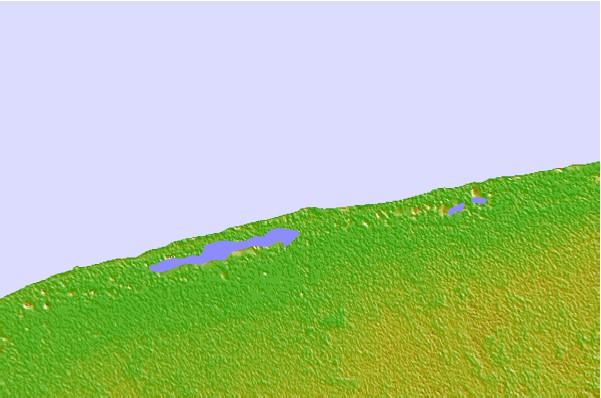

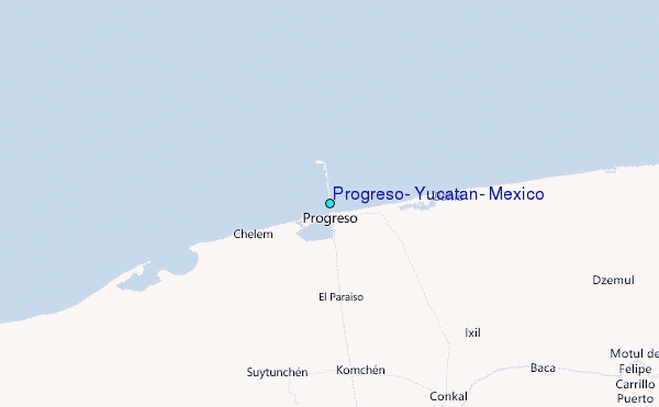
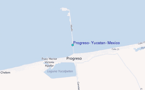
Use this relief map to navigate to tide stations, surf breaks and cities that are in the area of Progreso, Yucatan, Mexico.
Other Nearby Locations' tide tables and tide charts to Progreso, Yucatan, Mexico:
click location name for more details
 Surf breaks close to Progreso, Yucatan, Mexico:
|
||
|---|---|---|
| Closest surf break | Rocky Point | 250 mi |
| Second closest surf break | San Pedro North Reef Pass | 259 mi |
| Third closest surf break | San Pedro South Reef Pass | 260 mi |
| Fourth closest surf break | East Point Long Cay | 276 mi |
| Fifth closest surf break | Palma Real | 432 mi |


 Nearest
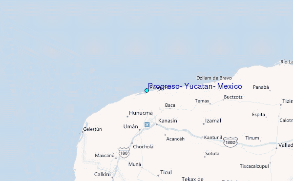