
| Distance / Altitude | Location | Report Date / Time | Live Weather | Wind | Gusts | Temp. | Visibility | Cloud |
|---|---|---|---|---|---|---|---|---|
| 38 km NNE / 24 m | Clarks Point Airport (Alaska) (Alaska) | 2026-06-23 17:56 local (2026/06/24 01:56 GMT) | Dry and partly cloudy | moderate winds from the S (22 km/h at 170) | — | 16 | scattered | |
| 57 km NW / 16 m | Manokotak Airport (Alaska) | 2026-06-23 17:56 local (2026/06/24 01:56 GMT) | - | light winds from the SSE (15 km/h at 150) | 18°C | 16 | few | |
| 62 km N / 213 m | Dillingham Airport (Alaska) | 2026-06-23 17:56 local (2026/06/24 01:56 GMT) | Dry and partly cloudy | moderate winds from the S (24 km/h at 180) | 16°C | 16 | broken | |
| 73 km ESE / 15 m | SHIP2514 (Marine) | 2026-06-23 18:00 local (2026/06/24 02:00 GMT) | - (- km/h at -) | — | - km | |||
| 85 km ESE / 216 m | Egegik Airport (Alaska) | 2026-06-23 17:56 local (2026/06/24 01:56 GMT) | Dry and cloudy | light winds from the WNW (15 km/h at 300) | 14°C | 16 | overcast | |
| 73 km ESE / 15 m | SHIP2926 (Marine) | 2026-06-23 17:00 local (2026/06/24 01:00 GMT) | - (- km/h at -) | — | - km | |||
| 73 km ESE / 15 m | SHIP1626 (Marine) | 2026-06-23 17:00 local (2026/06/24 01:00 GMT) | - (- km/h at -) | — | - km | |||
| 73 km ESE / 3 m | SHIP8355 (Marine) | 2026-06-23 18:00 local (2026/06/24 02:00 GMT) | - (- km/h at -) | — | - | |||
| 73 km ESE / 3 m | SHIP8916 (Marine) | 2026-06-23 19:00 local (2026/06/24 03:00 GMT) | - (- km/h at -) | — | - | |||
| 73 km ESE / 3 m | SHIP7668 (Marine) | 2026-06-23 17:00 local (2026/06/24 01:00 GMT) | - (- km/h at -) | — | - |
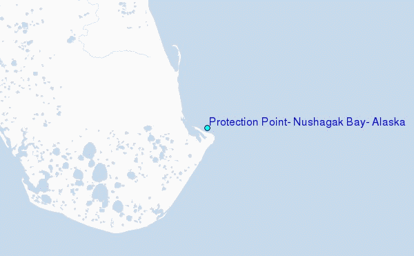
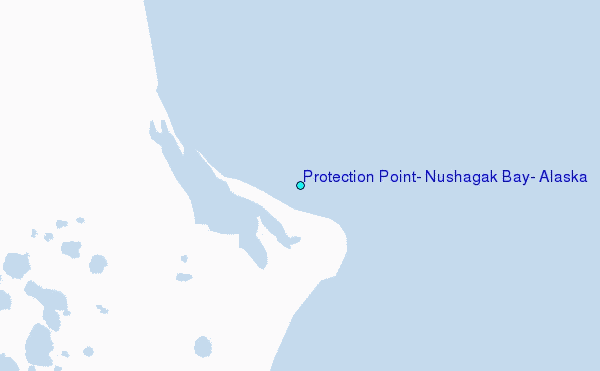
Choose Protection Point, Nushagak Bay, Alaska Location Map Zoom:
| Contours: | Roads & Rivers: | Select a
tide station / surf break / city |
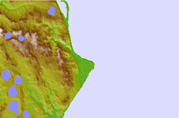
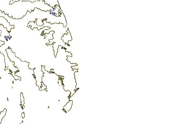
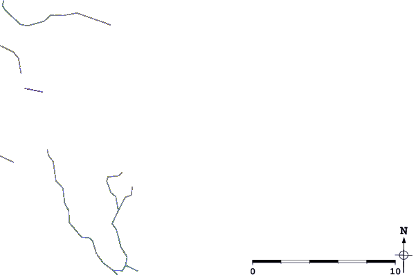
Use this relief map to navigate to tide stations, surf breaks and cities that are in the area of Protection Point, Nushagak Bay, Alaska.
Other Nearby Locations' tide tables and tide charts to Protection Point, Nushagak Bay, Alaska:
click location name for more details
 Surf breaks close to Protection Point, Nushagak Bay, Alaska:
|
||
|---|---|---|
| Closest surf break | Monashka Bay | 234 mi |
| Second closest surf break | Termination Point | 234 mi |
| Third closest surf break | Mill Bay | 237 mi |
| Fourth closest surf break | Fossil Beach Kodiak | 245 mi |
| Fifth closest surf break | Bird Point (Tidal Bore) | 298 mi |


 Nearest
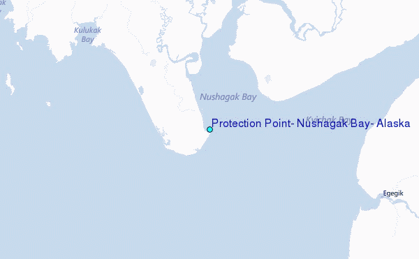