
| Distance / Altitude | Location | Report Date / Time | Live Weather | Wind | Gusts | Temp. | Visibility | Cloud |
|---|---|---|---|---|---|---|---|---|
| 0 km NNE / 3 m | BUOY-FOXR1 (Marine) | 2026-07-26 06:18 local (2026/07/26 10:18 GMT) | light winds from the N (13 km/h at 360) | 16°C | - | |||
| 1 km S / 15 m | SHIP5113 (Marine) | 2026-07-26 05:00 local (2026/07/26 09:00 GMT) | calm (5.4 km/h at 260) | — | - km | |||
| 3 km SE / 3 m | BUOY-PVDR1 (Marine) | 2026-07-26 06:18 local (2026/07/26 10:18 GMT) | light winds from the N (11 km/h at 360) | 16°C | 10.9 | |||
| 10 km S / 218 m | Providence/Theodore Francis Green State Airport (Rhode Island) | 2026-07-26 04:51 local (2026/07/26 08:51 GMT) | Clear | light winds from the N (13 km/h at 350) | 14°C | 16 | ||
| 11 km SSE / 3 m | BUOY-CPTR1 (Marine) | 2026-07-26 06:18 local (2026/07/26 10:18 GMT) | moderate winds from the N (21 km/h at 350) | 15°C | - | |||
| 1 km S / 3 m | SHIP113 (Marine) | 2026-07-26 04:00 local (2026/07/26 08:00 GMT) | light winds from the NW (11 km/h at 320) | — | - | |||
| 1 km S / 3 m | SHIP4534 (Marine) | 2026-07-26 04:00 local (2026/07/26 08:00 GMT) | light winds from the N (17 km/h at 10) | — | - | |||
| 1 km S / 15 m | SHIP2575 (Marine) | 2026-07-26 05:00 local (2026/07/26 09:00 GMT) | calm (5.4 km/h at 260) | — | - km | |||
| 1 km S / 3 m | SHIP664 (Marine) | 2026-07-26 05:00 local (2026/07/26 09:00 GMT) | light winds from the NNE (11 km/h at 20) | — | - | |||
| 1 km S / 3 m | SHIP2504 (Marine) | 2026-07-26 05:00 local (2026/07/26 09:00 GMT) | light winds from the NNE (11 km/h at 20) | — | - |
| Contours: | Roads & Rivers: | Select a
tide station / surf break / city |
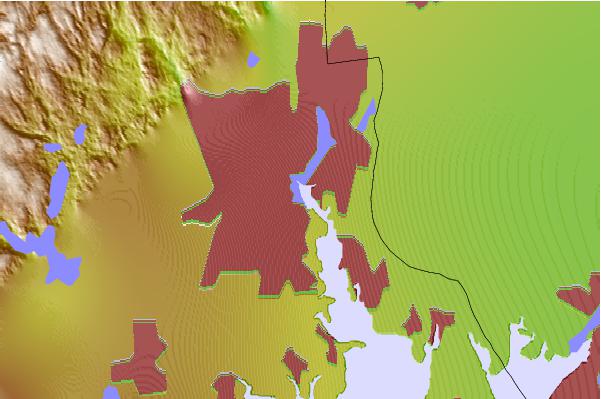
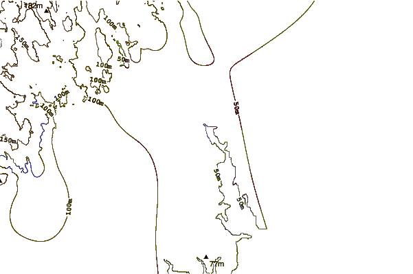
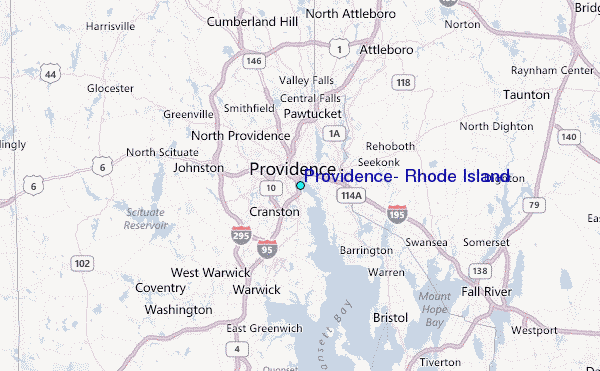
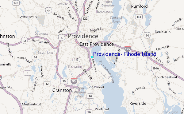
Use this relief map to navigate to tide stations, surf breaks and cities that are in the area of Providence, Rhode Island.
Other Nearby Locations' tide tables and tide charts to Providence, Rhode Island:
click location name for more details
 Surf breaks close to Providence, Rhode Island:
|
||
|---|---|---|
| Closest surf break | Bonnet Shores Point | 22 mi |
| Second closest surf break | Eastons Beach (1st Beach) | 23 mi |
| Third closest surf break | 2nd Beach | 23 mi |
| Fourth closest surf break | Bonnet Point | 24 mi |
| Fifth closest surf break | Sachuest Beach (2nd Beach) | 24 mi |


 Nearest
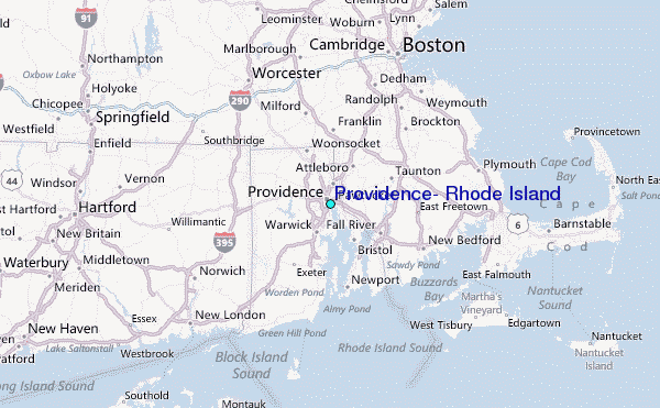