
| Distance / Altitude | Location | Report Date / Time | Live Weather | Wind | Gusts | Temp. | Visibility | Cloud |
|---|---|---|---|---|---|---|---|---|
| 2 km NW / 3 m | BUOY-PRDA2 (Marine) | 2026-06-23 18:48 local (2026/06/24 02:48 GMT) | light winds from the ESE (8 km/h at 110) | — | - | |||
| 19 km S / 3 m | BUOY-DHXA2 (Marine) | 2026-06-23 19:02 local (2026/06/24 03:02 GMT) | light winds from the NNE (11 km/h at 20) | — | - | |||
| 21 km S / 215 m | Deadhorse Airport (Alaska) | 2026-06-23 17:53 local (2026/06/24 01:53 GMT) | Clear | light winds from the NNE (17 km/h at 20) | 11°C | 16 | ||
| 41 km WSW / 459 m | Kuparuk Airport (Alaska) | 2026-06-23 17:45 local (2026/06/24 01:45 GMT) | - | light winds from the NW (9 km/h at 310) | — | 16 | ||
| 89 km ESE / 8 m | Point Thompson Airstrip-Deadhorse (Alaska) (Alaska) | 2026-06-23 18:35 local (2026/06/24 02:35 GMT) | Clear | light winds from the NE (11 km/h at 40) | 9°C | 16 | ||
| 91 km WSW / 398 m | Deadhorse- Alpine Airstrip (AK) Airport (United States) | 2026-06-23 17:45 local (2026/06/24 01:45 GMT) | - | light winds from the NNW (11 km/h at 340) | 14°C | 16 | few | |
| 95 km WSW / 210 m | Nuiqsut Airport (Alaska) | 2026-06-23 17:53 local (2026/06/24 01:53 GMT) | Light rain | light winds from the N (9 km/h at 1) | 18°C | 16 | ||
| 186 km E / 192 m | Barter Island Airport (Alaska) | 2026-06-23 17:56 local (2026/06/24 01:56 GMT) | Clear | light winds from the ENE (17 km/h at 60) | — | 16 | ||
| 278 km SSE / 710 m | Arctic Village Airport (Alaska) | 2026-06-23 17:56 local (2026/06/24 01:56 GMT) | Clear | calm (0 km/h at 0) | 23°C | 16 | ||
| 282 km S / 702 m | Anaktuvuk Pass Airport (Alaska) | 2026-06-23 17:56 local (2026/06/24 01:56 GMT) | Clear | moderate winds from the NE (22 km/h at 40) | 20°C | 16 |
| Contours: | Roads & Rivers: | Select a
tide station / surf break / city |
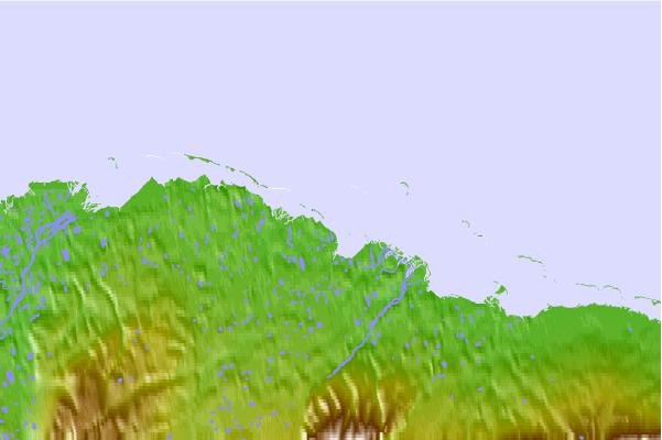
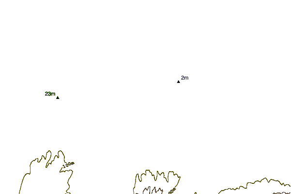
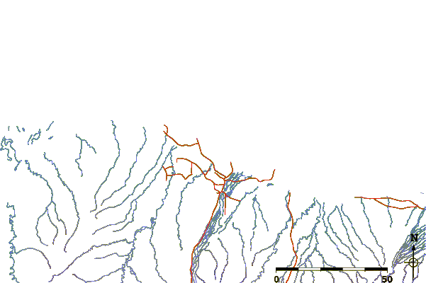
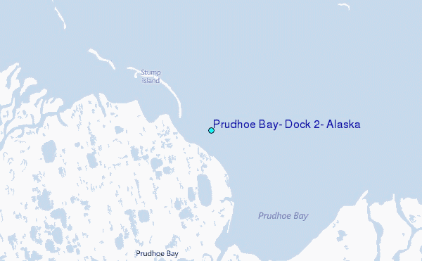
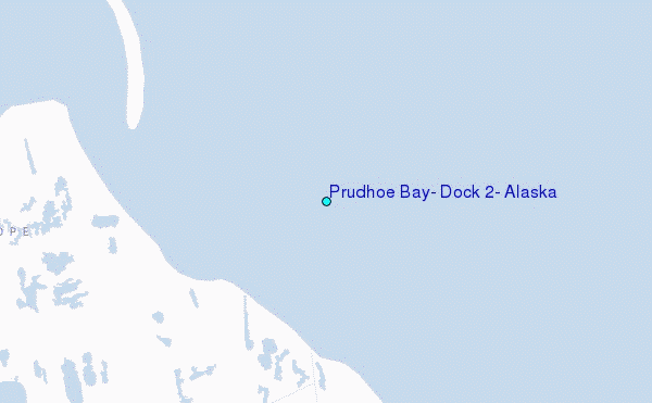
Use this relief map to navigate to tide stations, surf breaks and cities that are in the area of Prudhoe Bay, Dock #2, Alaska.
Other Nearby Locations' tide tables and tide charts to Prudhoe Bay, Dock #2, Alaska:
click location name for more details
 Surf breaks close to Prudhoe Bay, Dock #2, Alaska:
|
||
|---|---|---|
| Closest surf break | Bird Point (Tidal Bore) | 674 mi |
| Second closest surf break | Graveyards | 789 mi |
| Third closest surf break | Ocean Cape | 789 mi |
| Fourth closest surf break | Cannon Beach | 793 mi |
| Fifth closest surf break | Termination Point | 874 mi |


 Nearest
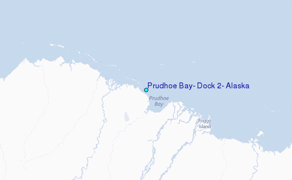