
| Distance / Altitude | Location | Report Date / Time | Live Weather | Wind | Gusts | Temp. | Visibility | Cloud |
|---|---|---|---|---|---|---|---|---|
| 10 km S / 192 m | Barcelona/General José Antonio Anzoátegui International Airport (Venezuela) | 2026-07-09 14:00 local (2026/07/09 18:00 GMT) | Dry and partly cloudy | light winds from the NNW (9 km/h at 340) | 33°C | 10.0 | scattered | |
| 12 km NW / 3 m | SHIP1300 (Marine) | 2026-07-09 15:00 local (2026/07/09 19:00 GMT) | light winds from the N (11 km/h at 360) | 26°C | 20.4 | |||
| 243 km WSW / 980 m | Caracas (Åland) | 2026-07-09 14:28 local (2026/07/09 18:28 GMT) | dry | wind obs. (6 kph from 27 degs) was rejected (- km/h at -) | 32°C | - | - - 0 | |
| 244 km WSW / 860 m | Caracas (Venezuela) | 2026-07-09 15:35 local (2026/07/09 19:35 GMT) | dry | light winds from the E (8 km/h at 101) | 28°C | - | - - 0 | |
| 249 km WSW / 997 m | San Bernardino wx (Venezuela) | 2026-07-09 15:45 local (2026/07/09 19:45 GMT) | dry | light winds from the SSE (8 km/h at 153) | 27°C | - | - - 0 | |
| 20 km SSW / 3 m | SHIP479 (Marine) | 2026-07-09 13:00 local (2026/07/09 17:00 GMT) | fresh winds from the E (30 km/h at 90) | 26°C | 9.3 | |||
| 20 km SSW / 3 m | SHIP4258 (Marine) | 2026-07-09 13:00 local (2026/07/09 17:00 GMT) | fresh winds from the E (30 km/h at 90) | 26°C | 9.3 | |||
| 20 km SSW / 15 m | SHIP4123 (Marine) | 2026-07-09 13:00 local (2026/07/09 17:00 GMT) | fresh winds from the E (29.52 km/h at 90) | 26°C | 8.1 km | |||
| 20 km SSW / 15 m | SHIP2995 (Marine) | 2026-07-09 13:00 local (2026/07/09 17:00 GMT) | fresh winds from the E (29.52 km/h at 90) | 26°C | 8.1 km | |||
| 20 km SSW / 3 m | SHIP58 (Marine) | 2026-07-09 13:00 local (2026/07/09 17:00 GMT) | fresh winds from the E (30 km/h at 90) | 26°C | 9.3 |
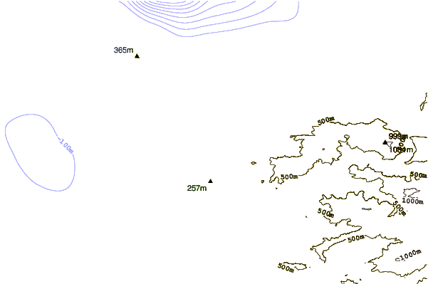
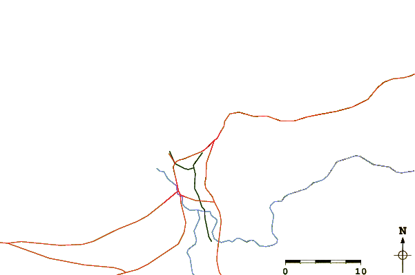
| Contours: | Roads & Rivers: | Select a
tide station / surf break / city |
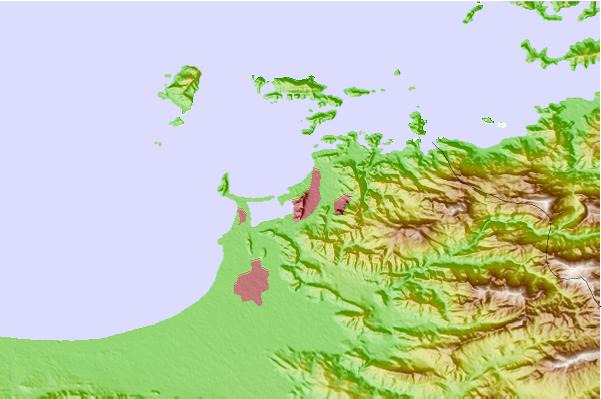
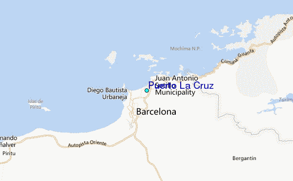
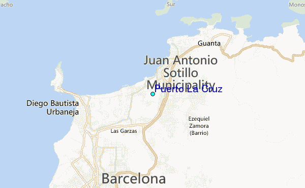
Use this relief map to navigate to tide stations, surf breaks and cities that are in the area of Puerto La Cruz.
Other Nearby Locations' tide tables and tide charts to Puerto La Cruz:
click location name for more details
 Surf breaks close to Puerto La Cruz:
|
||
|---|---|---|
| Closest surf break | Punta Arena | 56 mi |
| Second closest surf break | Funeral Point | 64 mi |
| Third closest surf break | Chacopata | 67 mi |
| Fourth closest surf break | Piedras Negras | 68 mi |
| Fifth closest surf break | Playa Caribe | 78 mi |


 Nearest
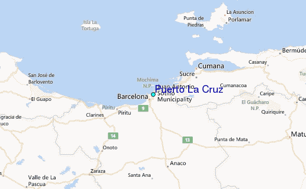