
| Distance / Altitude | Location | Report Date / Time | Live Weather | Wind | Gusts | Temp. | Visibility | Cloud |
|---|---|---|---|---|---|---|---|---|
| 57 km SSE / 208 m | Holguin Airport (Cuba) | 2026-07-09 13:50 local (2026/07/09 17:50 GMT) | Dry and partly cloudy | fresh winds from the E (30 km/h at 80) | 34°C | 9.0 | few broken | |
| 136 km WSW / 212 m | Camaguey/Ignacio Agramonte Internationa Airport (Cuba) | 2026-07-09 13:50 local (2026/07/09 17:50 GMT) | Dry and partly cloudy | moderate winds from the E.(Wind varies from 060 to 130 degs) (22 km/h at 90) | 35°C | 9.0 | broken | |
| 159 km W / 83 m | lightning 19km NW of Camaguey (Cuba) | 2026-07-09 15:32 local (2026/07/09 19:32 GMT) | Thunderstorm | (- km/h at -) | — | |||
| 159 km SSE / 209 m | Santiago De Cuba Airport (Cuba) | 2026-07-09 13:50 local (2026/07/09 17:50 GMT) | - | moderate winds from the SE.(Wind varies from 090 to 170 degs) (20 km/h at 130) | 32°C | 9.0 | few | |
| 189 km W / 70 m | lightning 16km NW of Florida (Cuba) | 2026-07-09 16:02 local (2026/07/09 20:02 GMT) | Thunderstorm | (- km/h at -) | — | |||
| 204 km SE / 203 m | Guantanamo Bay Airport (Cuba) | 2026-07-09 13:51 local (2026/07/09 17:51 GMT) | - | strong winds from the E (43 km/h at 90) | 33°C | 14 | few few | |
| 210 km W / 18 m | lightning 12km E of Baragua (Cuba) | 2026-07-09 15:49 local (2026/07/09 19:49 GMT) | Thunderstorm | (- km/h at -) | — | |||
| 212 km W / 20 m | thunderstorm affecting Primero de Enero (Cuba) | 2026-07-09 15:48 local (2026/07/09 19:48 GMT) | Thunderstorm | (- km/h at -) | — | |||
| 270 km W / 97 m | lightning 12km E of Jatibonico (Cuba) | 2026-07-09 15:48 local (2026/07/09 19:48 GMT) | Thunderstorm | (- km/h at -) | — | |||
| 294 km S / 0 m | lightning 25km NNE of Runaway Bay (Jamaica) | 2026-07-09 13:32 local (2026/07/09 17:32 GMT) | Thunderstorm | (- km/h at -) | — |
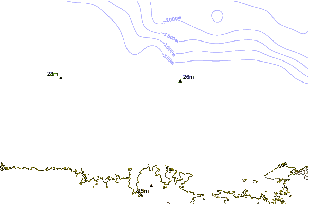
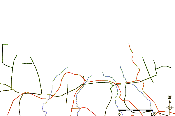
| Contours: | Roads & Rivers: | Select a
tide station / surf break / city |
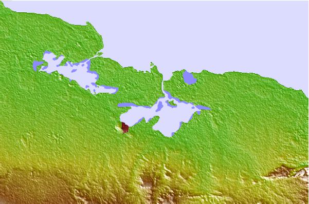
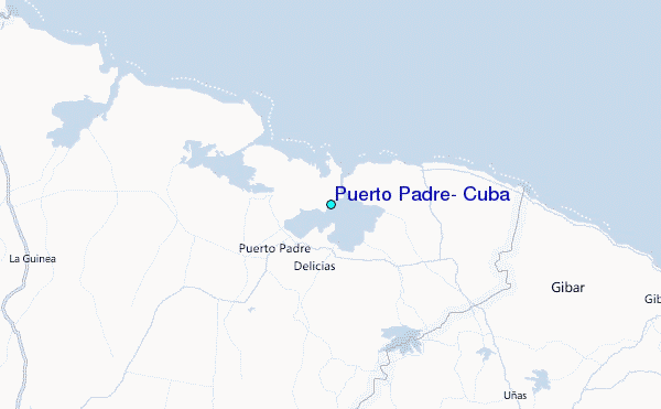
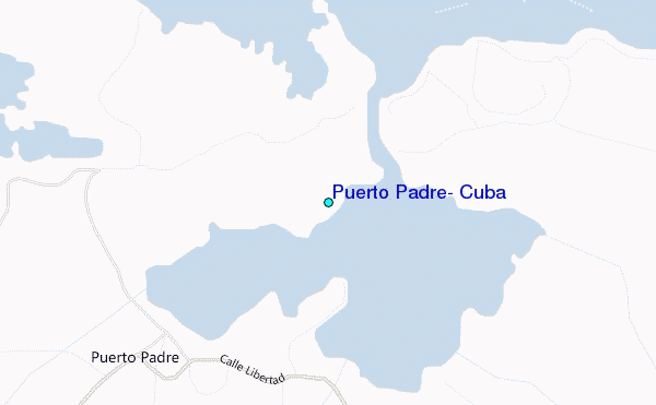
Use this relief map to navigate to tide stations, surf breaks and cities that are in the area of Puerto Padre, Cuba.
Other Nearby Locations' tide tables and tide charts to Puerto Padre, Cuba:
click location name for more details
 Surf breaks close to Puerto Padre, Cuba:
|
||
|---|---|---|
| Closest surf break | Runaway Bay | 198 mi |
| Second closest surf break | Discovery Bay | 199 mi |
| Third closest surf break | Peenie Wally | 208 mi |
| Fourth closest surf break | Navy Island | 211 mi |
| Fifth closest surf break | Winnifred Beach | 212 mi |


 Nearest
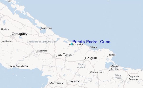