
| Distance / Altitude | Location | Report Date / Time | Live Weather | Wind | Gusts | Temp. | Visibility | Cloud |
|---|---|---|---|---|---|---|---|---|
| 4 km ESE / 209 m | Santiago De Cuba Airport (Cuba) | 2026-07-09 16:50 local (2026/07/09 20:50 GMT) | - | fresh winds from the ESE (35 km/h at 120) | 31°C | 9.0 | few | |
| 69 km E / 203 m | Guantanamo Bay Airport (Cuba) | 2026-07-09 16:51 local (2026/07/09 20:51 GMT) | - | fresh winds from the E (33 km/h at 80) | 33°C | 14 | few few | |
| 99 km NW / 208 m | Holguin Airport (Cuba) | 2026-07-09 16:50 local (2026/07/09 20:50 GMT) | - | fresh winds from the E (30 km/h at 80) | 33°C | 9.0 | few | |
| 140 km W / 18 m | lightning 4km W of Manzanillo (Cuba) | 2026-07-09 18:51 local (2026/07/09 22:51 GMT) | Thunderstorm | (- km/h at -) | — | |||
| 141 km W / 34 m | lightning 11km NE of Campechuela (Cuba) | 2026-07-09 18:17 local (2026/07/09 22:17 GMT) | Thunderstorm | (- km/h at -) | — | |||
| 156 km SSW / 0 m | lightning 55km N of Port Maria (Jamaica) | 2026-07-09 16:18 local (2026/07/09 20:18 GMT) | Thunderstorm | (- km/h at -) | — | |||
| 180 km SSE / 0 m | lightning 74km W of Les Irois (Haiti) | 2026-07-09 16:31 local (2026/07/09 20:31 GMT) | Thunderstorm | (- km/h at -) | — | |||
| 248 km S / 191 m | Kingston/Norman Manley International Airport (Jamaica) | 2026-07-09 17:00 local (2026/07/09 21:00 GMT) | - | fresh winds from the ESE (37 km/h at 110) | 34°C | |||
| 261 km WNW / 212 m | Camaguey/Ignacio Agramonte Internationa Airport (Cuba) | 2026-07-09 16:50 local (2026/07/09 20:50 GMT) | Dry and partly cloudy | moderate winds from the E (26 km/h at 80) | 32°C | 9.0 | few broken | |
| 271 km SSW / 193 m | Sangster/Montego Bay Airport (Jamaica) | 2026-07-09 17:00 local (2026/07/09 21:00 GMT) | - | strong winds from the E (39 km/h at 80) | 32°C | 10.0 | few |
| Contours: | Roads & Rivers: | Select a
tide station / surf break / city |
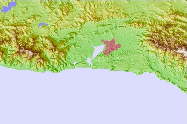
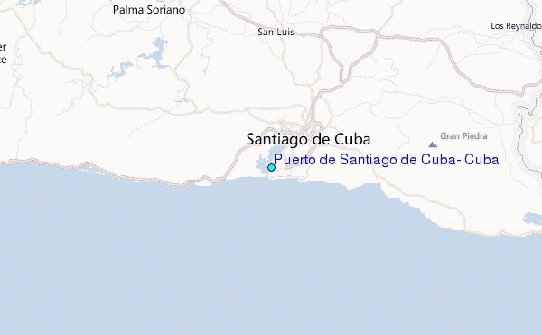
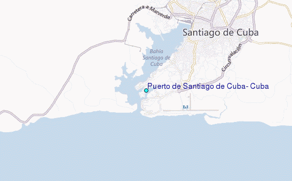
Use this relief map to navigate to tide stations, surf breaks and cities that are in the area of Puerto de Santiago de Cuba, Cuba.
Other Nearby Locations' tide tables and tide charts to Puerto de Santiago de Cuba, Cuba:
click location name for more details
 Surf breaks close to Puerto de Santiago de Cuba, Cuba:
|
||
|---|---|---|
| Closest surf break | Navy Island | 130 mi |
| Second closest surf break | Winnifred Beach | 130 mi |
| Third closest surf break | Boston Bay | 131 mi |
| Fourth closest surf break | Peenie Wally | 132 mi |
| Fifth closest surf break | Long Bay | 134 mi |


 Nearest
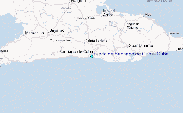