
| Distance / Altitude | Location | Report Date / Time | Live Weather | Wind | Gusts | Temp. | Visibility | Cloud |
|---|---|---|---|---|---|---|---|---|
| 63 km NE / 89 m | La Vega wx (Costa Rica) | 2026-07-09 13:16 local (2026/07/09 19:16 GMT) | - | - (- km/h at ) | 29°C | - | - - 0 | |
| 68 km E / 692 m | Juan Santamaria Airport (Costa Rica) | 2026-07-09 12:00 local (2026/07/09 18:00 GMT) | Dry and partly cloudy | wind obs. (26 kph from 90 degs) was rejected (- km/h at -) | 30°C | 10.0 | few scattered | |
| 75 km E / 994 m | Tobias Bolano Airport (Costa Rica) | 2026-07-09 12:00 local (2026/07/09 18:00 GMT) | Dry and partly cloudy | wind obs. (24 kph from 70 degs) was rejected (- km/h at -) | 28°C | 10.0 | broken | |
| 79 km E / 1200 m | Barva (Costa Rica) | 2026-07-09 13:05 local (2026/07/09 19:05 GMT) | dry | moderate winds from the ENE (21 km/h at 66) | 26°C | - | - - 0 | |
| 84 km E / 1195 m | San Jose (Costa Rica) | 2026-07-09 13:44 local (2026/07/09 19:44 GMT) | dry | light winds from the ENE (19 km/h at 64) | 25°C | - | - - 0 | |
| 105 km WNW / 415 m | Liberia/Tomas Guardia Airport (Costa Rica) | 2026-07-09 12:00 local (2026/07/09 18:00 GMT) | Dry and partly cloudy | fresh winds from the E (31 km/h at 80) | 35°C | 10.0 | few scattered - | |
| 197 km E / 358 m | Limon International Airport (Costa Rica) | 2026-07-09 12:00 local (2026/07/09 18:00 GMT) | - | light winds from the SE (15 km/h at 130) | 29°C | 10.0 | broken | |
| 218 km E / 1 m | Cahuita wx (Costa Rica) | 2026-07-09 11:10 local (2026/07/09 17:10 GMT) | dry | calm (0 km/h at 251) | 29°C | - | - - 0 | |
| 260 km ESE / 12 m | Linea de Base wx (Panama) | 2026-07-09 13:07 local (2026/07/09 19:07 GMT) | dry | light winds from the N (11 km/h at 355) | 26°C | - | - - 0 | |
| 276 km ESE / 1363 m | Barriada Volcán wx (Panama) | 2026-07-09 12:22 local (2026/07/09 18:22 GMT) | dry | calm (2 km/h at 169) | 17°C | - | - - 0 |
| Contours: | Roads & Rivers: | Select a
tide station / surf break / city |
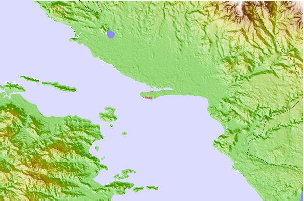
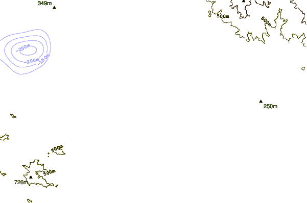
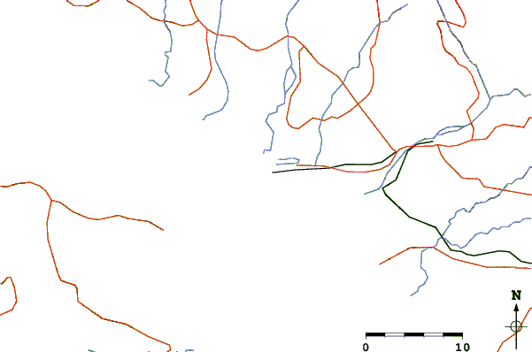
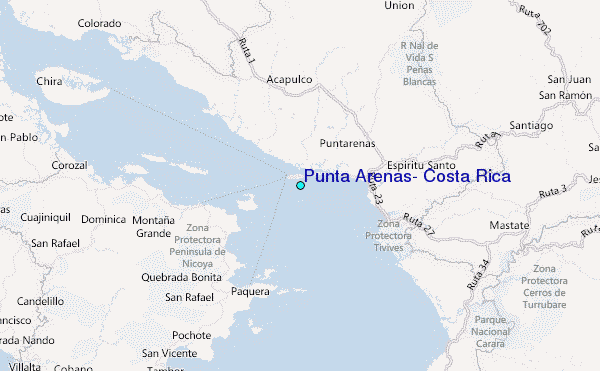
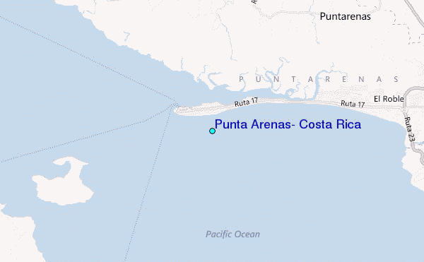
Use this relief map to navigate to tide stations, surf breaks and cities that are in the area of Puntarenas.
Other Nearby Locations' tide tables and tide charts to Puntarenas:
click location name for more details
 Surf breaks close to Puntarenas:
|
||
|---|---|---|
| Closest surf break | Chacarita | 4 mi |
| Second closest surf break | Boca Barranca | 6 mi |
| Third closest surf break | Dona Ana | 6 mi |
| Fourth closest surf break | La-China | 6 mi |
| Fifth closest surf break | Corralillo | 9 mi |


 Nearest
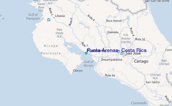