
| Distance / Altitude | Location | Report Date / Time | Live Weather | Wind | Gusts | Temp. | Visibility | Cloud |
|---|---|---|---|---|---|---|---|---|
| 15 km NNE / 394 m | Paraguana/Josefa Camejo International Airport (Venezuela) | 2026-07-09 14:00 local (2026/07/09 18:00 GMT) | Dry and partly cloudy | moderate winds from the E (22 km/h at 90) | — | 10.0 | broken | |
| 65 km ESE / 384 m | Coro/Jose-Leonardo Chirinos Airport (Venezuela) | 2026-07-09 14:00 local (2026/07/09 18:00 GMT) | - | wind obs. (0 kph from 0 degs) was rejected (- km/h at -) | 34°C | 10.0 | few | |
| 97 km NNE / 169 m | Queen Beatrix Airport (Lesser Antilles) | 2026-07-09 14:00 local (2026/07/09 18:00 GMT) | - | strong winds from the ESE.(Wind varies from 080 to 140 degs) (43 km/h at 110) | 32°C | 10.0 | few | |
| 148 km ENE / 15 m | SHIP1747 (Marine) | 2026-07-09 14:00 local (2026/07/09 18:00 GMT) | - (- km/h at -) | — | - km | |||
| 148 km ENE / 1 m | Willemstad wx (Curacao) | 2026-07-09 15:43 local (2026/07/09 19:43 GMT) | dry | wind obs. (2 kph from 8 degs) was rejected (- km/h at -) | 33°C | - | - - 0 | |
| 149 km ENE / 3 m | SHIP1087 (Marine) | 2026-07-09 14:00 local (2026/07/09 18:00 GMT) | - (- km/h at -) | — | - | |||
| 149 km ENE / 15 m | SHIP6284 (Marine) | 2026-07-09 14:00 local (2026/07/09 18:00 GMT) | - (- km/h at -) | — | - km | |||
| 149 km ENE / 3 m | SHIP2933 (Marine) | 2026-07-09 14:00 local (2026/07/09 18:00 GMT) | - (- km/h at -) | — | - | |||
| 149 km ENE / 3 m | SHIP5513 (Marine) | 2026-07-09 14:00 local (2026/07/09 18:00 GMT) | - (- km/h at -) | — | - | |||
| 149 km ENE / 3 m | SHIP5066 (Marine) | 2026-07-09 14:00 local (2026/07/09 18:00 GMT) | - (- km/h at -) | — | - |
| Contours: | Roads & Rivers: | Select a
tide station / surf break / city |
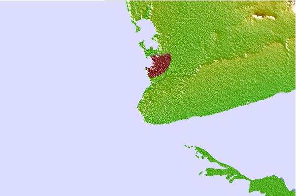
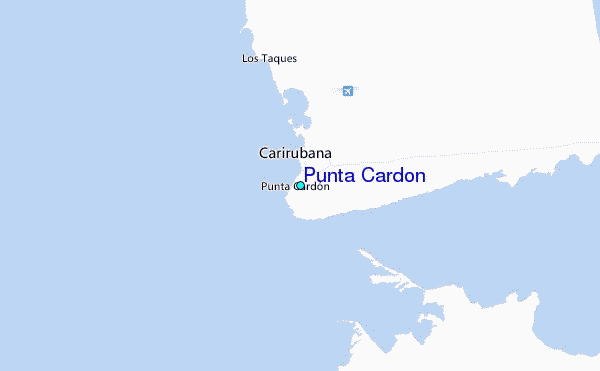
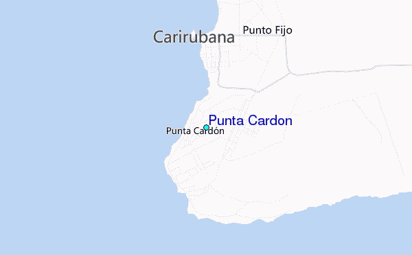
Use this relief map to navigate to tide stations, surf breaks and cities that are in the area of Punta Cardon.
Other Nearby Locations' tide tables and tide charts to Punta Cardon:
click location name for more details
 Surf breaks close to Punta Cardon:
|
||
|---|---|---|
| Closest surf break | Outside Rodger's Beach | 57 mi |
| Second closest surf break | Muraya | 59 mi |
| Third closest surf break | Dos Playa | 63 mi |
| Fourth closest surf break | Manchebo Beach | 63 mi |
| Fifth closest surf break | Andicuri | 64 mi |


 Nearest
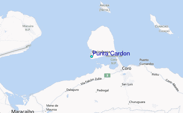