
| Distance / Altitude | Location | Report Date / Time | Live Weather | Wind | Gusts | Temp. | Visibility | Cloud |
|---|---|---|---|---|---|---|---|---|
| 25 km SSE / 875 m | Baaqline (Lebanon) | 2026-07-09 22:37 local (2026/07/09 19:37 GMT) | dry | calm (0 km/h at 126) | 18°C | - | - - 0 | |
| 61 km NE / 1440 m | Bkerkacha (Lebanon) | 2026-07-09 21:20 local (2026/07/09 18:20 GMT) | dry | calm (3 km/h at 144) | 16°C | - | - - 0 | |
| 97 km S / 12 m | BEZET (Israel) | 2026-07-09 22:00 local (2026/07/09 19:00 GMT) | - | light winds from the E (15 km/h at 99) | 23°C | - | - - 0 | |
| 104 km S / 934 m | Har -Knaan (Zefat) (Israel) | 2026-07-09 21:00 local (2026/07/09 18:00 GMT) | no report | - (- km/h at -) | 32°C | - | - | |
| 108 km S / 0 m | SHAVE ZIYYON (Israel) | 2026-07-09 22:00 local (2026/07/09 19:00 GMT) | - | light winds from the WNW (11 km/h at 290) | 26°C | - | - - 0 | |
| 110 km ESE / 709 m | Damascus Airport (Syria) | 2026-07-09 21:00 local (2026/07/09 18:00 GMT) | - | fresh winds from the SSW (33 km/h at 210) | — | 0.0 | ||
| 112 km S / 22 m | Akko (Israel) | 2026-07-09 21:46 local (2026/07/09 18:46 GMT) | dry | calm (0 km/h at 34) | 26°C | - | - - 0 | |
| 112 km S / 384 m | Eshẖar wx (Israel) | 2026-07-09 22:31 local (2026/07/09 19:31 GMT) | dry | calm (0 km/h at 166) | 23°C | - | - - 0 | |
| 115 km S / 0 m | SEA OF GALILEE (Israel) | 2026-07-09 22:00 local (2026/07/09 19:00 GMT) | - | wind obs. (9 kph from 0 degs) was rejected (- km/h at -) | 27°C | - | - - 0 | |
| 119 km S / 0 m | MIGDAL ISRAEL (Israel) | 2026-07-09 22:00 local (2026/07/09 19:00 GMT) | - | fresh winds from the SW (30 km/h at 232) | 30°C | - | - - 0 |
| Contours: | Roads & Rivers: | Select a
tide station / surf break / city |
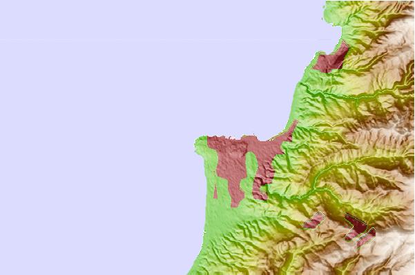

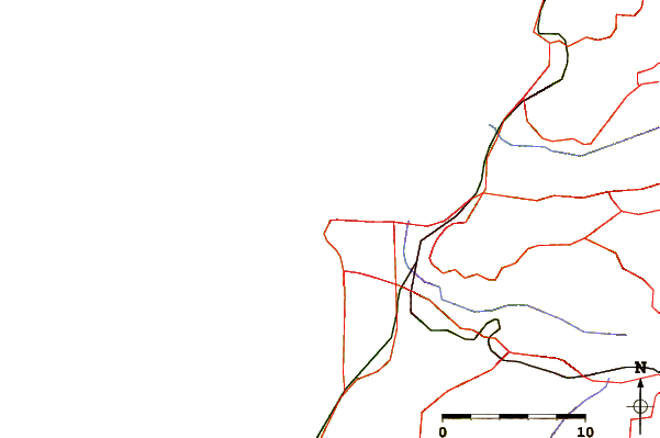
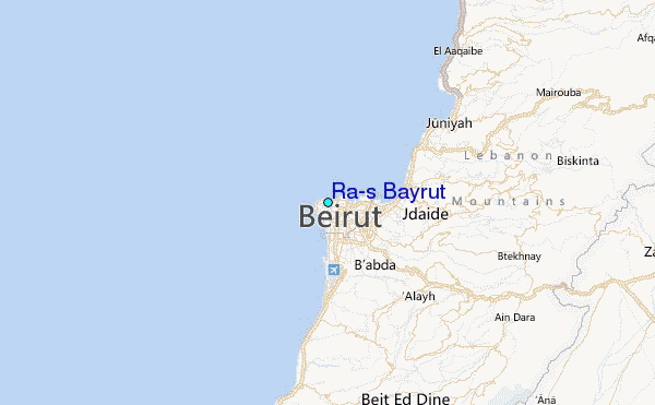
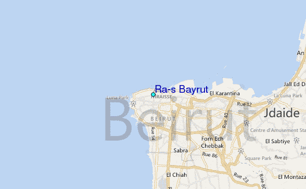
Use this relief map to navigate to tide stations, surf breaks and cities that are in the area of Ra's Bayrut.
Other Nearby Locations' tide tables and tide charts to Ra's Bayrut:
click location name for more details
 Surf breaks close to Ra's Bayrut:
|
||
|---|---|---|
| Closest surf break | Nahr Brahim | 14 mi |
| Second closest surf break | Phil and Did (Akif's reef) | 16 mi |
| Third closest surf break | Jonas Beach or Jieh beach | 17 mi |
| Fourth closest surf break | Tam Tam | 17 mi |
| Fifth closest surf break | Awuali Rivermouth | 22 mi |


 Nearest
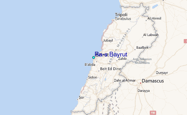