
| Distance / Altitude | Location | Report Date / Time | Live Weather | Wind | Gusts | Temp. | Visibility | Cloud |
|---|---|---|---|---|---|---|---|---|
| 39 km NE / 15 m | ASCATB212E15S (Marine) | 2026-07-09 08:34 local (2026/07/09 18:04 GMT) | fresh winds from the E (29 km/h at 101) | — | - km | |||
| 45 km ENE / 15 m | ASCATB213E15S (Marine) | 2026-07-09 08:34 local (2026/07/09 18:04 GMT) | fresh winds from the E (29 km/h at 100) | — | - km | |||
| 62 km NNE / 15 m | ASCATB213E14S (Marine) | 2026-07-09 08:34 local (2026/07/09 18:04 GMT) | fresh winds from the ESE (30 km/h at 103) | — | - km | |||
| 165 km E / 15 m | ASCATB214E15S (Marine) | 2026-07-09 08:34 local (2026/07/09 18:04 GMT) | moderate winds from the ESE (27 km/h at 102) | — | - km | |||
| 165 km S / 15 m | ASCATB212E16S (Marine) | 2026-07-09 08:35 local (2026/07/09 18:05 GMT) | moderate winds from the E (23 km/h at 91) | — | - km | |||
| 169 km NE / 15 m | ASCATB214E14S (Marine) | 2026-07-09 08:34 local (2026/07/09 18:04 GMT) | fresh winds from the E (29 km/h at 98) | — | - km | |||
| 169 km SSE / 15 m | ASCATB213E16S (Marine) | 2026-07-09 08:34 local (2026/07/09 18:04 GMT) | moderate winds from the E (26 km/h at 96) | — | - km | |||
| 173 km NNE / 15 m | ASCATB213E13S (Marine) | 2026-07-09 08:34 local (2026/07/09 18:04 GMT) | fresh winds from the E (30 km/h at 98) | — | - km | |||
| 216 km NE / 15 m | ASCATB214E13S (Marine) | 2026-07-09 08:34 local (2026/07/09 18:04 GMT) | fresh winds from the ESE (31 km/h at 106) | — | - km | |||
| 217 km SE / 15 m | ASCATB214E16S (Marine) | 2026-07-09 08:34 local (2026/07/09 18:04 GMT) | moderate winds from the E (27 km/h at 101) | — | - km |
| Contours: | Roads & Rivers: | Select a
tide station / surf break / city |
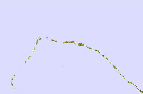
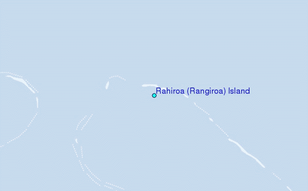
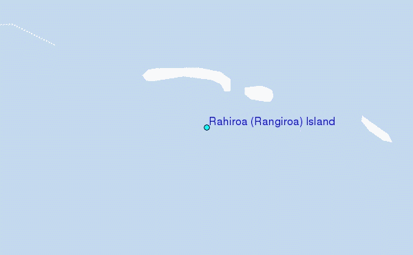
Use this relief map to navigate to tide stations, surf breaks and cities that are in the area of Rahiroa (Rangiroa) Island.
Other Nearby Locations' tide tables and tide charts to Rahiroa (Rangiroa) Island:
click location name for more details
 Surf breaks close to Rahiroa (Rangiroa) Island:
|
||
|---|---|---|
| Closest surf break | Ins and Outs | 208 mi |
| Second closest surf break | Papenoo Beach (Chinaman's Bay) | 209 mi |
| Third closest surf break | Papenoo Rivermouth (L'Embouchure) | 209 mi |
| Fourth closest surf break | Orofara Beach | 209 mi |
| Fifth closest surf break | Rocky Point | 209 mi |


 Nearest
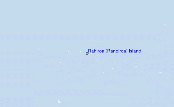