
| Distance / Altitude | Location | Report Date / Time | Live Weather | Wind | Gusts | Temp. | Visibility | Cloud |
|---|---|---|---|---|---|---|---|---|
| 0 km ENE / 3 m | BUOY-RPLV2 (Marine) | 2026-06-23 22:48 local (2026/06/24 02:48 GMT) | strong winds from the N (46 km/h at 350) | — | - | |||
| 22 km WSW / 3 m | Stingray Point Buoy (Marine) | 2026-06-23 22:54 local (2026/06/24 02:54 GMT) | moderate winds from the NNW (25 km/h at 340) | 21°C | - | |||
| 24 km ENE / 217 m | Melfa/Accomack County Airport (Virginia) | 2026-06-23 22:35 local (2026/06/24 02:35 GMT) | Dry and cloudy | light winds from the NNW (9 km/h at 340) | 19°C | 16 | scattered broken overcast | |
| 30 km ENE / 3 m | BUOY-WAHV2 (Marine) | 2026-06-23 22:48 local (2026/06/24 02:48 GMT) | light winds from the N (9 km/h at 360) | — | - | |||
| 39 km WSW / 10 m | Hummel Field Airport - Saluda (Virginia) (Virginia) | 2026-06-23 22:35 local (2026/06/24 02:35 GMT) | Dry and partly cloudy | light winds from the NNW.(Wind varies from 290 to 360 degs) (13 km/h at 330) | 20°C | 16 | scattered | |
| 41 km S / 3 m | BUOY-KPTV2 (Marine) | 2026-06-23 22:48 local (2026/06/24 02:48 GMT) | moderate winds from the N (26 km/h at 360) | — | - | |||
| 54 km SSW / 3 m | BUOY-YKTV2 (Marine) | 2026-06-23 22:48 local (2026/06/24 02:48 GMT) | moderate winds from the NNW (21 km/h at 330) | — | - | |||
| 57 km S / 3 m | BUOY-CHBV2 (Marine) | 2026-06-23 22:48 local (2026/06/24 02:48 GMT) | fresh winds from the NNW (37 km/h at 340) | — | - | |||
| 61 km S / 217 m | Langley Air Force Base Airport (Virginia) | 2026-06-23 21:55 local (2026/06/24 01:55 GMT) | Dry and cloudy | light winds from the N (17 km/h at 350) | 21°C | 16 | few overcast | |
| 62 km NW / 3 m | Potomac Buoy (Marine) | 2026-06-23 22:54 local (2026/06/24 02:54 GMT) | light winds from the NW (18 km/h at 320) | 21°C | - |
| Contours: | Roads & Rivers: | Select a
tide station / surf break / city |
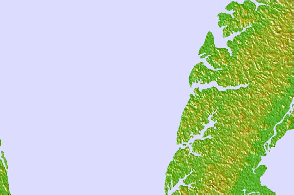

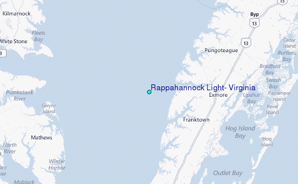
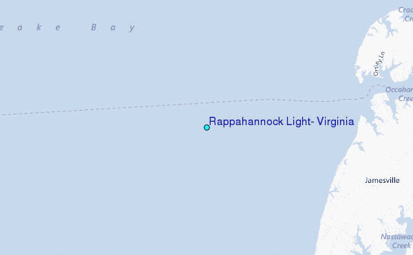
Use this relief map to navigate to tide stations, surf breaks and cities that are in the area of Rappahannock Light, Virginia.
Other Nearby Locations' tide tables and tide charts to Rappahannock Light, Virginia:
click location name for more details
 Surf breaks close to Rappahannock Light, Virginia:
|
||
|---|---|---|
| Closest surf break | Fishermans Island | 32 mi |
| Second closest surf break | Grandview | 34 mi |
| Third closest surf break | North End | 42 mi |
| Fourth closest surf break | 81st Street | 44 mi |
| Fifth closest surf break | Out Front | 44 mi |


 Nearest
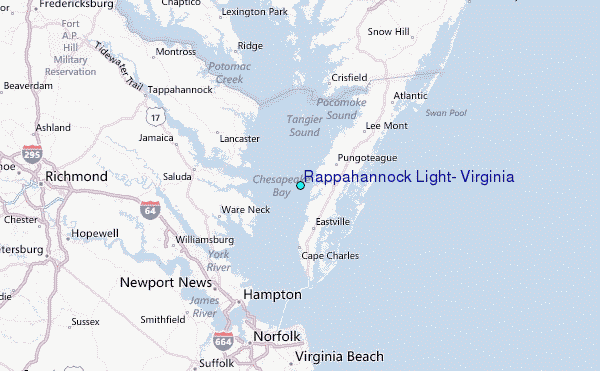