
| Distance / Altitude | Location | Report Date / Time | Live Weather | Wind | Gusts | Temp. | Visibility | Cloud |
|---|---|---|---|---|---|---|---|---|
| 0 km E / 218 m | Washington/National Airport (Washington D.c.) | 2026-06-24 09:52 local (2026/06/24 13:52 GMT) | - | light winds from the NNW (13 km/h at 330) | 24°C | 16 | few few | |
| 3 km NNE / 3 m | BUOY-WASD2 (Marine) | 2026-06-24 11:00 local (2026/06/24 15:00 GMT) | calm (4 km/h at 310) | 24°C | - | |||
| 15 km ESE / 217 m | Andrews Air Force Base Airport (Maryland) | 2026-06-24 09:55 local (2026/06/24 13:55 GMT) | Clear | light winds from the NNW (13 km/h at 340) | 25°C | 16 | ||
| 18 km NE / 15 m | College Park Airport (Maryland) (Maryland) | 2026-06-24 10:35 local (2026/06/24 14:35 GMT) | Clear | light winds from the WNW (11 km/h at 290) | 25°C | 16 | ||
| 19 km SSW / 218 m | Fort Belvoir/Davison Airport (Virginia) | 2026-06-24 09:55 local (2026/06/24 13:55 GMT) | Clear | light winds from the NW (9 km/h at 320) | 24°C | 16 | ||
| 35 km NE / 180 m | Fort Meade Airport (Maryland) | 2026-06-24 10:35 local (2026/06/24 14:35 GMT) | Clear | light winds from the NNW (7 km/h at 330) | 24°C | 16 | ||
| 37 km W / 218 m | Wash DC/Dulles Airport (Virginia) | 2026-06-24 09:52 local (2026/06/24 13:52 GMT) | - | light winds from the NNW (9 km/h at 330) | 23°C | 16 | few | |
| 37 km NW / 165 m | Gaithersburg Airport (Maryland) (Maryland) | 2026-06-24 09:56 local (2026/06/24 13:56 GMT) | Clear | light winds from the N (9 km/h at 1) | 22°C | 16 | ||
| 45 km SW / 206 m | Manassas Municipal Airport (Virginia) | 2026-06-24 09:56 local (2026/06/24 13:56 GMT) | Clear | light winds from the NNW (9 km/h at 330) | 23°C | 16 | ||
| 45 km S / 219 m | Quantico Marine Corps Air Facility Airport (Virginia) | 2026-06-24 09:56 local (2026/06/24 13:56 GMT) | Clear | light winds from the NNW (13 km/h at 340) | 24°C | 11 |
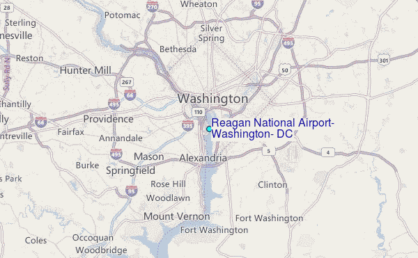
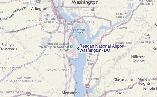
Choose Reagan National Airport, Washington, DC Location Map Zoom:
| Contours: | Roads & Rivers: | Select a
tide station / surf break / city |
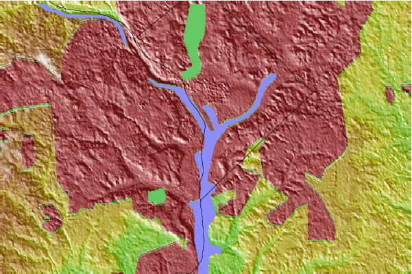
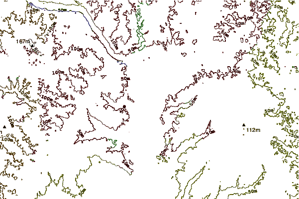
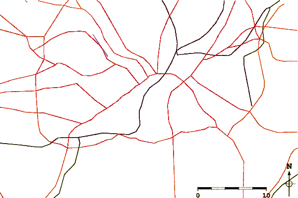
Use this relief map to navigate to tide stations, surf breaks and cities that are in the area of Reagan National Airport, Washington, DC.
Other Nearby Locations' tide tables and tide charts to Reagan National Airport, Washington, DC:
click location name for more details
 Surf breaks close to Reagan National Airport, Washington, DC:
|
||
|---|---|---|
| Closest surf break | Naval Jetties | 105 mi |
| Second closest surf break | The Cove Delaware | 105 mi |
| Third closest surf break | Rehoboth Main | 106 mi |
| Fourth closest surf break | Dewey Beach | 106 mi |
| Fifth closest surf break | Tower Road | 106 mi |


 Nearest
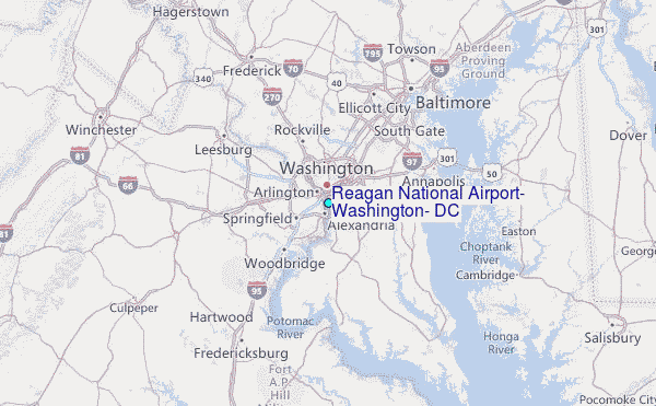