
| Distance / Altitude | Location | Report Date / Time | Live Weather | Wind | Gusts | Temp. | Visibility | Cloud |
|---|---|---|---|---|---|---|---|---|
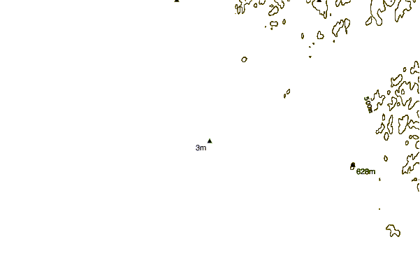
| 0 km NW / 3 m | BUOY-RDDA2 (Marine) | 2026-06-23 18:48 local (2026/06/24 02:48 GMT) | - (0 km/h at -) | — | - | |||
| 27 km WNW / 205 m | Kivalina Airport (Alaska) | 2026-06-23 17:53 local (2026/06/24 01:53 GMT) | Clear | light winds from the SW (7 km/h at 230) | 7°C | 16 | ||
| 46 km E / 198 m | Noatak Airport (Alaska) | 2026-06-23 17:56 local (2026/06/24 01:56 GMT) | - | light winds from the WSW (15 km/h at 240) | 22°C | 16 | ||
| 99 km SE / 3 m | BUOY-KOZA2 (Marine) | 2026-06-23 19:02 local (2026/06/24 03:02 GMT) | light winds from the W (13 km/h at 280) | — | - | |||
| 100 km SE / 214 m | Kotzebue Airport (Alaska) | 2026-06-23 17:53 local (2026/06/24 01:53 GMT) | Clear | light winds from the W (9 km/h at 280) | 15°C | 16 | ||
| 143 km WNW / 194 m | Point Hope Airport (Alaska) | 2026-06-23 17:56 local (2026/06/24 01:56 GMT) | Clear | light winds from the S (15 km/h at 170) | 9°C | 16 | ||
| 157 km ESE / 17 m | Noorvik Airport (Alaska) | 2026-06-23 17:56 local (2026/06/24 01:56 GMT) | Clear | light winds from the W (19 km/h at 280) | 22°C | 13 | ||
| 169 km NW / 207 m | Cape Lisburne Airport (Alaska) | 2026-06-23 17:55 local (2026/06/24 01:55 GMT) | - | fresh winds from the S (35 km/h at 190) | — | 16 | ||
| 170 km S / 215 m | Shishmaref Airport (Alaska) | 2026-06-23 17:56 local (2026/06/24 01:56 GMT) | Clear | light winds from the WNW (11 km/h at 290) | 10°C | 16 | ||
| 170 km ESE / 198 m | Kinana / Bob Baker Memorial Airport (AK) (United States) | 2026-06-23 17:56 local (2026/06/24 01:56 GMT) | Clear | moderate winds from the W (24 km/h at 260) | 23°C | 16 |
| Contours: | Roads & Rivers: | Select a
tide station / surf break / city |
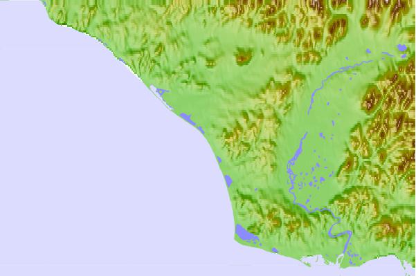
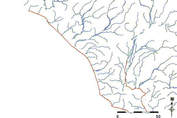
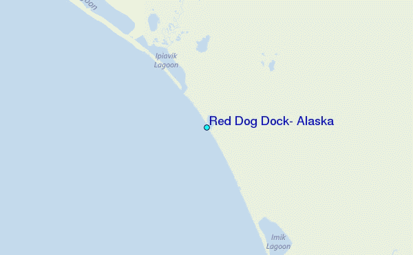
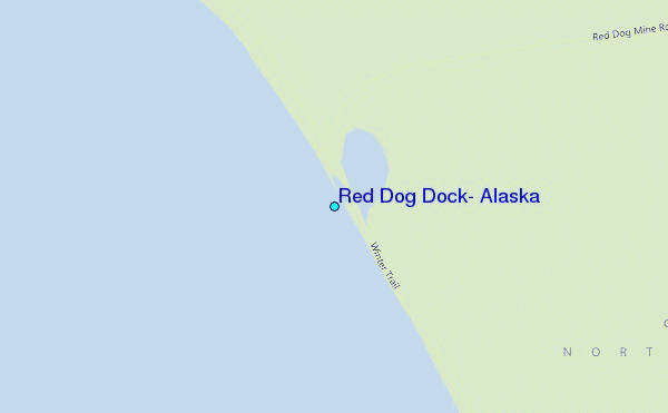
Use this relief map to navigate to tide stations, surf breaks and cities that are in the area of Red Dog Dock, Alaska.
Other Nearby Locations' tide tables and tide charts to Red Dog Dock, Alaska:
click location name for more details
 Surf breaks close to Red Dog Dock, Alaska:
|
||
|---|---|---|
| Closest surf break | Bird Point (Tidal Bore) | 607 mi |
| Second closest surf break | Termination Point | 764 mi |
| Third closest surf break | Monashka Bay | 766 mi |
| Fourth closest surf break | Mill Bay | 767 mi |
| Fifth closest surf break | Fossil Beach Kodiak | 792 mi |


 Nearest
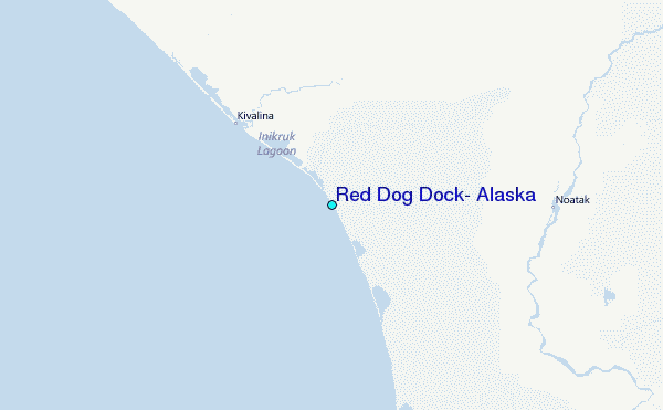