
| Distance / Altitude | Location | Report Date / Time | Live Weather | Wind | Gusts | Temp. | Visibility | Cloud |
|---|---|---|---|---|---|---|---|---|
| 1 km SE / 30 m | Lopez Village (Washington) | 2026-06-09 14:24 local (2026/06/09 21:24 GMT) | dry | light winds from the SW (6 km/h at 227) | 15°C | - | - - 0 | |
| 9 km NE / 16.2 m | Decatur Island (Washington) | 2026-06-09 14:30 local (2026/06/09 21:30 GMT) | dry | light winds from the WSW (10 km/h at 238) | — | - | - - 0 | |
| 10 km NNE / 36 m | Lopez Island (Washington) | 2026-06-09 14:23 local (2026/06/09 21:23 GMT) | dry | light winds from the SW (19 km/h at 236) | 16°C | - | - - 0 | |
| 11 km N / 18 m | Lopez Island wx (United States) | 2026-06-09 13:15 local (2026/06/09 20:15 GMT) | dry | calm (2 km/h at 321) | 16°C | - | - - 0 | |
| 13 km WNW / 219 m | Friday Harbor Airport (Washington) | 2026-06-09 13:53 local (2026/06/09 20:53 GMT) | Clear | moderate winds from the WSW.(Wind varies from 210 to 270 degs) (20 km/h at 240) | 17°C | 16 | ||
| 14 km WNW / 3 m | BUOY-FRDW1 (Marine) | 2026-06-09 14:36 local (2026/06/09 21:36 GMT) | light winds from the W (17 km/h at 260) | 16°C | - | |||
| 15 km SSE / 3 m | BUOY-SISW1 (Marine) | 2026-06-09 14:50 local (2026/06/09 21:50 GMT) | fresh winds from the WNW (35 km/h at 300) | — | - | |||
| 21 km ESE / 218 m | Whidbey Island Airport (Washington) | 2026-06-09 13:53 local (2026/06/09 20:53 GMT) | Dry and partly cloudy | light winds from the W (19 km/h at 260) | 14°C | 16 | broken broken broken | |
| 24 km SW / 3 m | New Dungeness - 17 NM NE of Port Angeles- WA (Marine) | 2026-06-09 14:50 local (2026/06/09 21:50 GMT) | strong winds from the W (40 km/h at 280) | 12°C | - | |||
| 24 km WSW / 28 m | DiscoveryIsland-BC (Canada) | 2026-06-09 15:00 local (2026/06/09 22:00 GMT) | no report | calm (4 km/h at 50) | 13°C | - | - no observation - |
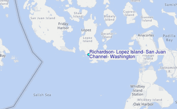
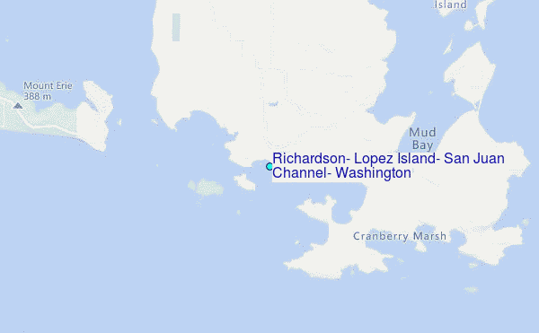
Choose Richardson, Lopez Island, San Juan Channel, Washington Location Map Zoom:
| Contours: | Roads & Rivers: | Select a
tide station / surf break / city |
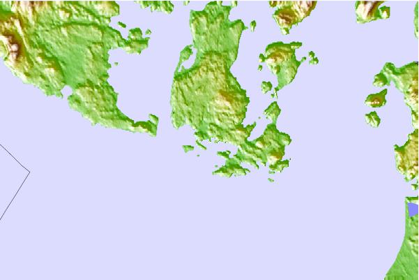
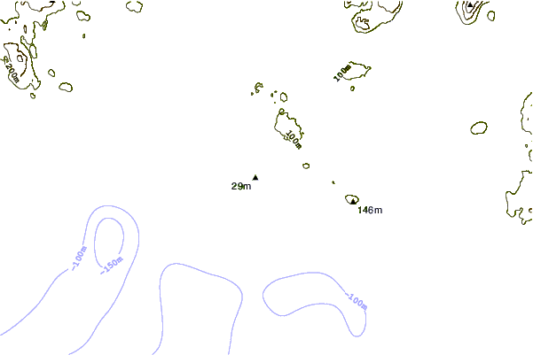
Use this relief map to navigate to tide stations, surf breaks and cities that are in the area of Richardson, Lopez Island, San Juan Channel, Washington.
Other Nearby Locations' tide tables and tide charts to Richardson, Lopez Island, San Juan Channel, Washington:
click location name for more details
 Surf breaks close to Richardson, Lopez Island, San Juan Channel, Washington:
|
||
|---|---|---|
| Closest surf break | Fort. Ebey | 16 mi |
| Second closest surf break | Super green | 29 mi |
| Third closest surf break | Elwha | 37 mi |
| Fourth closest surf break | Crescent | 42 mi |
| Fifth closest surf break | Whiskey Creek | 45 mi |


 Nearest
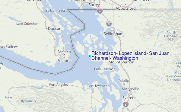