
| Distance / Altitude | Location | Report Date / Time | Live Weather | Wind | Gusts | Temp. | Visibility | Cloud |
|---|---|---|---|---|---|---|---|---|
| 10 km SW / 72 m | Richmond/Chester Airport (Virginia) | 2026-05-25 22:56 local (2026/05/26 02:56 GMT) | Light rain | calm (0 km/h at 0) | 21°C | 16 | broken overcast | |
| 12 km NE / 217 m | Richmond Airport (Virginia) | 2026-05-25 23:40 local (2026/05/26 03:40 GMT) | Light rain | calm (0 km/h at 0) | 21°C | 14 | broken broken overcast | |
| 26 km ENE / 37 m | Quinton Airport (Virginia) (Virginia) | 2026-05-25 23:35 local (2026/05/26 03:35 GMT) | Dry and cloudy | calm (0 km/h at 0) | 20°C | 16 | overcast | |
| 28 km N / 218 m | Richmond/Hanover Airport (Virginia) | 2026-05-25 23:40 local (2026/05/26 03:40 GMT) | - | calm (0 km/h at 0) | 20°C | 0.0 | ||
| 29 km SSE / 47 m | lightning 10km S of Hopewell (United States) | 2026-05-25 22:06 local (2026/05/26 02:06 GMT) | Thunderstorm | (- km/h at -) | — | |||
| 30 km N / 66 m | lightning 5km SE of Ashland (United States) | 2026-05-25 22:04 local (2026/05/26 02:04 GMT) | Thunderstorm | (- km/h at -) | — | |||
| 33 km S / 217 m | Petersburg Airport (Virginia) | 2026-05-25 23:35 local (2026/05/26 03:35 GMT) | Light rain | calm (0 km/h at 0) | 21°C | 16 | scattered scattered scattered | |
| 36 km S / 46 m | lightning 12km SE of Petersburg (United States) | 2026-05-25 22:04 local (2026/05/26 02:04 GMT) | Thunderstorm | (- km/h at -) | — | |||
| 58 km E / 217 m | West Point Airport (Virginia) | 2026-05-25 23:35 local (2026/05/26 03:35 GMT) | Dry and cloudy | calm (0 km/h at 0) | 21°C | 16 | broken overcast | |
| 63 km E / 3 m | BUOY-YRSV2 (Marine) | 2026-05-25 23:30 local (2026/05/26 03:30 GMT) | - (0 km/h at -) | 22°C | - |
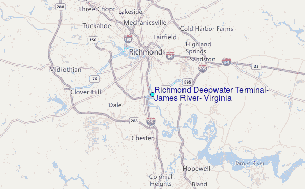
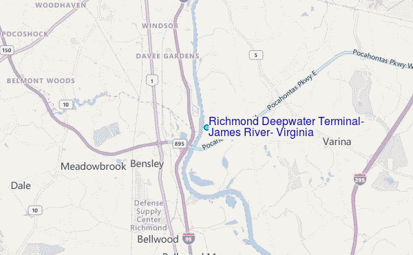
Choose Richmond Deepwater Terminal, James River, Virginia Location Map Zoom:
| Contours: | Roads & Rivers: | Select a
tide station / surf break / city |
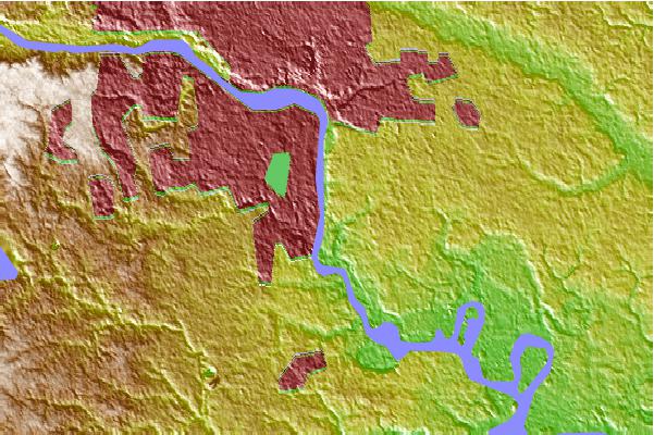
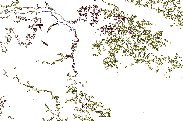
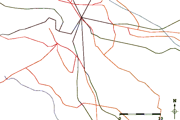
Use this relief map to navigate to tide stations, surf breaks and cities that are in the area of Richmond Deepwater Terminal, James River, Virginia.
Other Nearby Locations' tide tables and tide charts to Richmond Deepwater Terminal, James River, Virginia:
click location name for more details
 Surf breaks close to Richmond Deepwater Terminal, James River, Virginia:
|
||
|---|---|---|
| Closest surf break | Grandview | 68 mi |
| Second closest surf break | Fishermans Island | 85 mi |
| Third closest surf break | North End | 86 mi |
| Fourth closest surf break | 81st Street | 87 mi |
| Fifth closest surf break | 42nd St VA Beach | 89 mi |


 Nearest
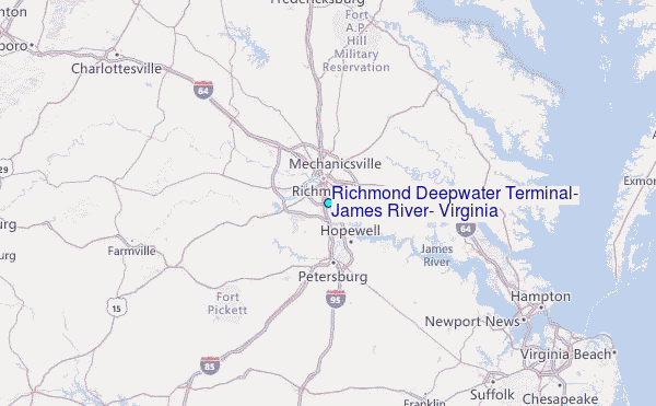