
| Distance / Altitude | Location | Report Date / Time | Live Weather | Wind | Gusts | Temp. | Visibility | Cloud |
|---|---|---|---|---|---|---|---|---|
| 28 km ESE / 202 m | Puerto Barrios Airport (Guatemala) | 2026-07-09 13:00 local (2026/07/09 19:00 GMT) | Dry and cloudy | light winds from the WNW (11 km/h at 300) | 28°C | 10.0 | scattered overcast | |
| 74 km S / 1402 m | Yoro Airport (Honduras) | 2026-07-09 13:00 local (2026/07/09 19:00 GMT) | - | wind obs. (15 kph from 90 degs) was rejected (- km/h at -) | — | 10.0 | scattered - - | |
| 92 km ESE / 440 m | Santa Ana wx (Honduras) | 2026-07-09 14:07 local (2026/07/09 20:07 GMT) | dry | wind obs. (8 kph from 212 degs) was rejected (- km/h at -) | — | - | - - 0 | |
| 104 km ESE / 384 m | La Mesa-Pedro Sula (Honduras) | 2026-07-09 13:00 local (2026/07/09 19:00 GMT) | Dry and partly cloudy | moderate winds from the NNE (22 km/h at 30) | 33°C | 10.0 | scattered scattered - | |
| 122 km SSW / 365 m | Zacapa Airport (Guatemala) | 2026-07-09 13:00 local (2026/07/09 19:00 GMT) | Dry and cloudy | wind obs. (22 kph from 100 degs) was rejected (- km/h at -) | 32°C | 10.0 | few overcast | |
| 126 km S / 314 m | Santa Rosa de Copán Airport (Honduras) | 2026-07-09 13:00 local (2026/07/09 19:00 GMT) | Dry and partly cloudy | light winds from the NNW (19 km/h at 340) | 29°C | 10.0 | scattered | |
| 141 km NW / 105 m | Melchor de Mencos Airport (Guatemala) | 2026-07-09 13:00 local (2026/07/09 19:00 GMT) | Dry and partly cloudy | wind obs. (19 kph from 200 degs) was rejected (- km/h at -) | 31°C | 10.0 | few broken | |
| 142 km S / 913 m | Celaque Airport (Honduras) | 2026-07-09 13:00 local (2026/07/09 19:00 GMT) | Dry and partly cloudy | light winds from the NW (9 km/h at 320) | 31°C | 10.0 | scattered few | |
| 143 km E / 193 m | Tela Airport (Honduras) | 2026-07-09 13:00 local (2026/07/09 19:00 GMT) | Dry and partly cloudy | light winds from the NE (17 km/h at 40) | 33°C | 10.0 | scattered few | |
| 151 km S / 961 m | Esquipulas Airport (Guatemala) | 2026-07-09 13:00 local (2026/07/09 19:00 GMT) | Dry and partly cloudy | light winds from the NNE (15 km/h at 30) | 28°C | 10.0 | broken broken |
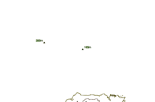
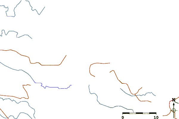
| Contours: | Roads & Rivers: | Select a
tide station / surf break / city |
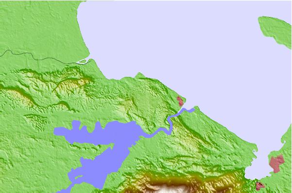
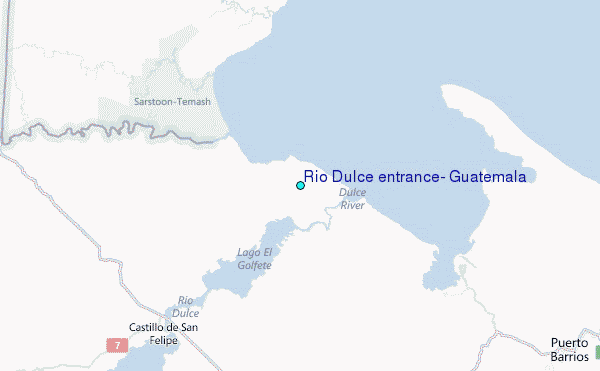
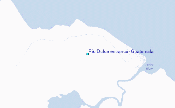
Use this relief map to navigate to tide stations, surf breaks and cities that are in the area of Rio Dulce entrance, Guatemala.
Other Nearby Locations' tide tables and tide charts to Rio Dulce entrance, Guatemala:
click location name for more details
 Surf breaks close to Rio Dulce entrance, Guatemala:
|
||
|---|---|---|
| Closest surf break | East Point Long Cay | 133 mi |
| Second closest surf break | Palma Real | 154 mi |
| Third closest surf break | San Pedro South Reef Pass | 154 mi |
| Fourth closest surf break | San Pedro North Reef Pass | 156 mi |
| Fifth closest surf break | Fishermans Point | 165 mi |


 Nearest
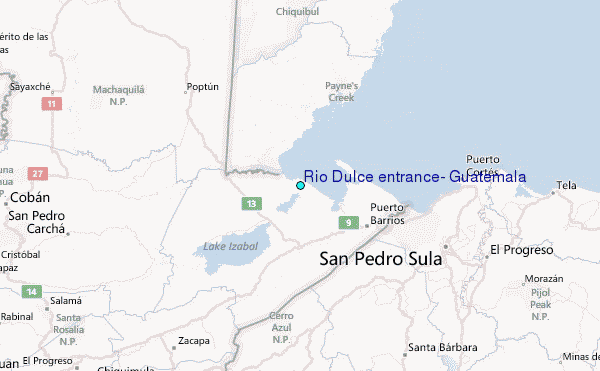