
| Distance / Altitude | Location | Report Date / Time | Live Weather | Wind | Gusts | Temp. | Visibility | Cloud |
|---|---|---|---|---|---|---|---|---|
| 25 km NE / 15 m | SHIP2120 (Marine) | 2026-07-09 20:00 local (2026/07/10 00:00 GMT) | strong winds from the ESE (44.64 km/h at 110) | — | 8.1 km | |||
| 47 km SSW / 200 m | Los Zanjón wx (Dominican Republic) | 2026-07-09 20:00 local (2026/07/10 00:00 GMT) | dry | calm (0 km/h at ) | 27°C | - | - - 0 | |
| 52 km W / 466 m | Puerto Plata IN Airport (Dominican Republic) | 2026-07-09 19:00 local (2026/07/09 23:00 GMT) | Dry and partly cloudy | light winds from the ESE (9 km/h at 120) | 28°C | 10.0 | scattered broken | |
| 56 km SE / 10 m | El Catey International Airport (Dominican republic) | 2026-07-09 19:00 local (2026/07/09 23:00 GMT) | Dry and partly cloudy | calm (0 km/h at 0) | 27°C | 10.0 | scattered broken | |
| 60 km W / 1 m | lightning 6km E of Puerto Plata (Dominican Republic) | 2026-07-09 20:49 local (2026/07/10 00:49 GMT) | Thunderstorm | (- km/h at -) | — | |||
| 68 km SW / 209 m | Santiago International Airport (Dominican Republic) | 2026-07-09 19:00 local (2026/07/09 23:00 GMT) | Dry and partly cloudy | light winds from the E.(Wind varies from 060 to 130 degs) (15 km/h at 90) | 27°C | 10.0 | few broken broken | |
| 100 km SW / 975 m | lightning 10km WSW of Juncalito Abajo (Dominican Republic) | 2026-07-09 20:49 local (2026/07/10 00:49 GMT) | Thunderstorm | (- km/h at -) | — |
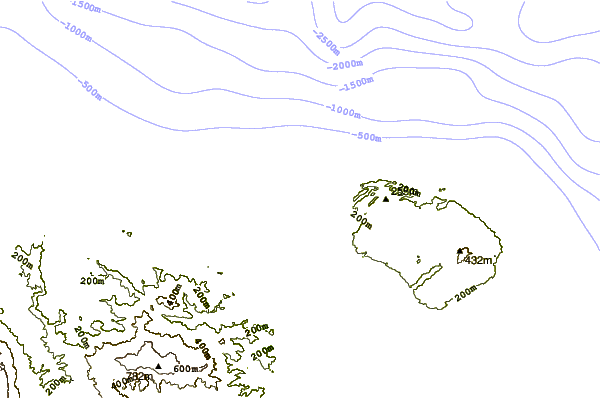
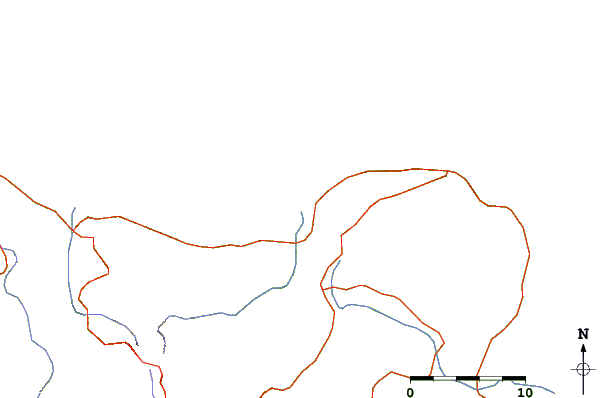
| Contours: | Roads & Rivers: | Select a
tide station / surf break / city |
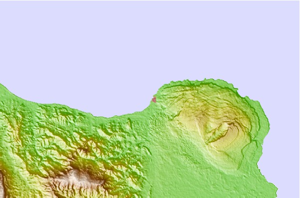
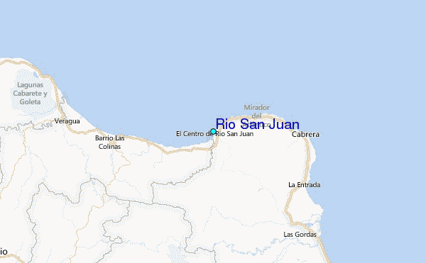
Use this relief map to navigate to tide stations, surf breaks and cities that are in the area of Rio San Juan.
Other Nearby Locations' tide tables and tide charts to Rio San Juan:
click location name for more details
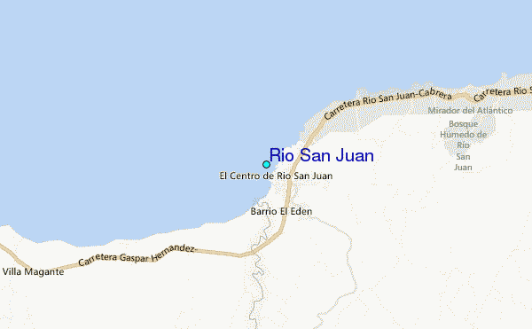
 Surf breaks close to Rio San Juan:
|
||
|---|---|---|
| Closest surf break | La Punta | 1 mi |
| Second closest surf break | Playa Grande | 1 mi |
| Third closest surf break | La Preciosa | 2 mi |
| Fourth closest surf break | Boca de Yasica | 9 mi |
| Fifth closest surf break | Mañanero | 21 mi |


 Nearest
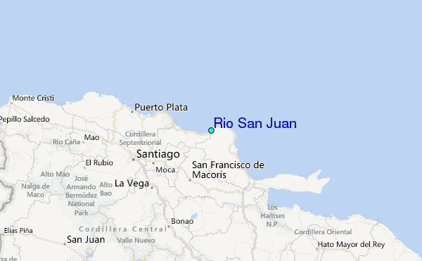