
| Distance / Altitude | Location | Report Date / Time | Live Weather | Wind | Gusts | Temp. | Visibility | Cloud |
|---|---|---|---|---|---|---|---|---|
| 16 km WNW / 8 m | Lamentin -Aero (France) | 2026-07-09 14:00 local (2026/07/09 18:00 GMT) | no report | wind obs. (14 kph from 160 degs) was rejected (- km/h at -) | 27°C | 10 | - | |
| 17 km WNW / 214 m | Le Lamentin/Martinique Aimé Césaire International Airport (Lesser Antilles) | 2026-07-09 14:30 local (2026/07/09 18:30 GMT) | Dry and partly cloudy | strong winds from the E (41 km/h at 80) | 31°C | 10.0 | scattered broken broken | |
| 32 km N / 39 m | Trinite -Caravelle (France) | 2026-07-09 14:00 local (2026/07/09 18:00 GMT) | no report | fresh winds from the ESE (29 km/h at 120) | 30°C | - | - | |
| 49 km NW / 145 m | Rhum JM (Martinique) | 2026-07-09 15:00 local (2026/07/09 19:00 GMT) | - | light winds from the E (15 km/h at 101) | 29°C | - | - - 0 | |
| 53 km S / 348 m | George F. L. Charles Airport/Vigie/St Lucia (Lesser Antilles) | 2026-07-09 14:00 local (2026/07/09 18:00 GMT) | Dry and partly cloudy | light winds from the E (19 km/h at 100) | 30°C | 10.0 | scattered | |
| 81 km S / 188 m | Hewanorra International Airport (Lesser Antilles) | 2026-07-09 14:00 local (2026/07/09 18:00 GMT) | Dry and partly cloudy | fresh winds from the E (33 km/h at 90) | 31°C | 10.0 | scattered | |
| 122 km NW / 339 m | Melville Hall AR Airport (Dominican Republic) | 2026-07-09 14:00 local (2026/07/09 18:00 GMT) | Shower light rain shower | light winds from the ESE (17 km/h at 110) | 29°C | 10.0 | broken | |
| 126 km NW / 429 m | Canefield Airport (Dominican Republic) | 2026-07-09 14:00 local (2026/07/09 18:00 GMT) | - | light winds from the E (17 km/h at 100) | 31°C | 10.0 | few | |
| 150 km S / 41 m | Argyle International Airport (Saint Vincent and the Grenadines) | 2026-07-09 14:00 local (2026/07/09 18:00 GMT) | Dry and partly cloudy | moderate winds from the NE (22 km/h at 50) | 29°C | 10.0 | broken | |
| 208 km NW / 9 m | Pointe-à-Pitre International Airport (Guadeloupe, Saint Martin, Saint Barthelemy and other French islands in the vicinity) | 2026-07-09 14:00 local (2026/07/09 18:00 GMT) | no report | wind obs. (0 kph from 150 degs) was rejected (- km/h at -) | 24°C | - | - |
| Contours: | Roads & Rivers: | Select a
tide station / surf break / city |
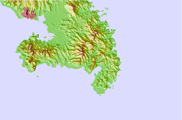
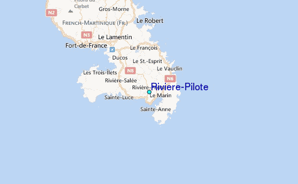
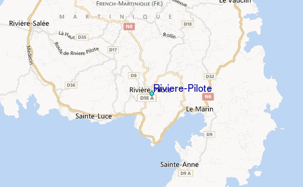
Use this relief map to navigate to tide stations, surf breaks and cities that are in the area of Riviere-Pilote.
Other Nearby Locations' tide tables and tide charts to Riviere-Pilote:
click location name for more details
 Surf breaks close to Riviere-Pilote:
|
||
|---|---|---|
| Closest surf break | Anse Trabaud | 6 mi |
| Second closest surf break | Diam's | 10 mi |
| Third closest surf break | Anse Cafard | 11 mi |
| Fourth closest surf break | Cocoa | 19 mi |
| Fifth closest surf break | Pelle a Tarte | 20 mi |


 Nearest
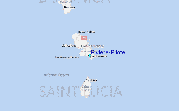