
| Distance / Altitude | Location | Report Date / Time | Live Weather | Wind | Gusts | Temp. | Visibility | Cloud |
|---|---|---|---|---|---|---|---|---|
| 15 km ESE / 111 m | Beef Island/Roadtown Airport (Virgin Islands) | 2026-07-09 14:00 local (2026/07/09 18:00 GMT) | Dry and partly cloudy | light winds from the E (19 km/h at 90) | 31°C | 16 | scattered | |
| 18 km S / 3 m | BUOY-LAMV3 (Marine) | 2026-07-09 15:00 local (2026/07/09 19:00 GMT) | - (- km/h at -) | 29°C | - | |||
| 32 km SW / 3 m | BUOY-CHAV3 (Marine) | 2026-07-09 15:00 local (2026/07/09 19:00 GMT) | light winds from the ENE (15 km/h at 60) | 31°C | - | |||
| 34 km SW / 11 m | St Thomas (Virgin Islands of the U.S.) | 2026-07-09 15:18 local (2026/07/09 19:18 GMT) | dry | - (- km/h at ) | — | - | - - 0 | |
| 38 km SW / 218 m | Saint Thomas/Cyril E. King Airport (Virgin Islands) | 2026-07-09 13:53 local (2026/07/09 17:53 GMT) | Dry and partly cloudy | moderate winds from the ESE (20 km/h at 110) | 32°C | 16 | scattered | |
| 71 km SW / 3 m | BUOY-CLBP4 (Marine) | 2026-07-09 15:00 local (2026/07/09 19:00 GMT) | - (- km/h at -) | 32°C | - | |||
| 71 km SW / 22 m | Villa Muneco wx (Puerto Rico) | 2026-07-09 15:25 local (2026/07/09 19:25 GMT) | dry | moderate winds from the E (23 km/h at 85) | 29°C | - | - - 0 | |
| 78 km S / 30 m | Clairmont wx (U.S. Virgin Islands) | 2026-07-09 14:24 local (2026/07/09 18:24 GMT) | dry | light winds from the ESE (13 km/h at 120) | 31°C | - | - - 0 | |
| 80 km S / 3 m | BUOY-CHSV3 (Marine) | 2026-07-09 15:00 local (2026/07/09 19:00 GMT) | light winds from the ENE (15 km/h at 60) | 30°C | - | |||
| 86 km S / 3 m | BUOY-LTBV3 (Marine) | 2026-07-09 15:00 local (2026/07/09 19:00 GMT) | light winds from the ESE (15 km/h at 110) | 30°C | - |
| Contours: | Roads & Rivers: | Select a
tide station / surf break / city |
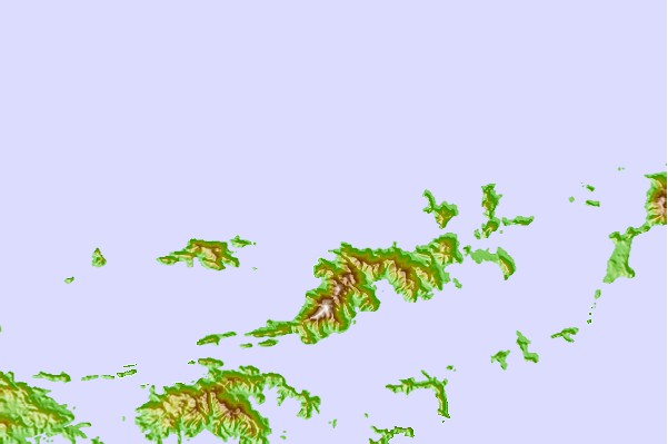
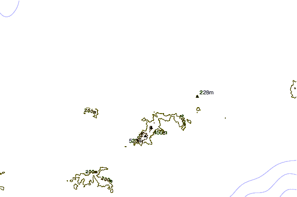
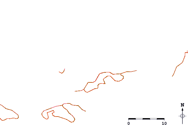
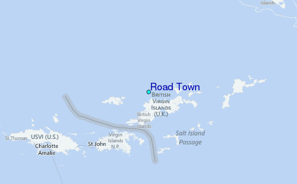
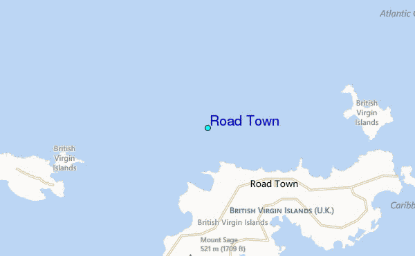
Use this relief map to navigate to tide stations, surf breaks and cities that are in the area of Road Town.
Other Nearby Locations' tide tables and tide charts to Road Town:
click location name for more details
 Surf breaks close to Road Town:
|
||
|---|---|---|
| Closest surf break | Brewers Bay | 2 mi |
| Second closest surf break | Trunk Bay - Shark Bay | 2 mi |
| Third closest surf break | Cane Garden Bay | 3 mi |
| Fourth closest surf break | Carot Bay | 3 mi |
| Fifth closest surf break | Rogues Bay - Lava Flows | 3 mi |


 Nearest
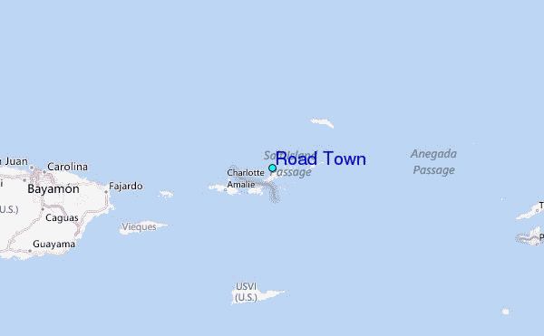