
| Distance / Altitude | Location | Report Date / Time | Live Weather | Wind | Gusts | Temp. | Visibility | Cloud |
|---|---|---|---|---|---|---|---|---|
| 283 km SSE / 215 m | Kwajalein/buchol Airport (Marshall Islands) | 2026-07-10 06:40 local (2026/07/09 18:40 GMT) | Clear | light winds from the S (9 km/h at 190) | 28°C | 16 | scattered scattered broken | |
| 283 km SSE / 3 m | BUOY-KWJP8 (Marine) | 2026-07-10 07:00 local (2026/07/09 19:00 GMT) | - (- km/h at -) | — | - | |||
| 652 km SE / 208 m | Majuro Atoll Airport (Marshall Islands) | 2026-07-10 05:50 local (2026/07/09 17:50 GMT) | Dry and partly cloudy | light winds from the W (9 km/h at 270) | 28°C | 24 | few scattered broken | |
| 667 km SE / 3 m | Kalo- Majuro- Marshall Islands (Marine) | 2026-07-10 06:30 local (2026/07/09 18:30 GMT) | - (- km/h at -) | 26°C | - | |||
| 671 km SE / 3 m | BUOY-52216 (Marine) | 2026-07-10 07:00 local (2026/07/09 19:00 GMT) | - (- km/h at -) | 27°C | - | |||
| 900 km N / 194 m | Wake Island Airfield Airport (Wake Island) | 2026-07-10 06:30 local (2026/07/09 18:30 GMT) | Haze - | light winds from the ESE (19 km/h at 110) | 29°C | 6 | scattered scattered | |
| 901 km N / 3 m | BUOY-WAKP8 (Marine) | 2026-07-10 07:00 local (2026/07/09 19:00 GMT) | light winds from the ESE (13 km/h at 110) | 28°C | - | |||
| 1061 km SW / 192 m | Pohnpei Airport (Micronesia) | 2026-07-10 05:57 local (2026/07/09 17:57 GMT) | Dry and cloudy | calm (0 km/h at 0) | 26°C | 24 | broken overcast overcast | |
| 1272 km SSE / 2 m | Tarawa Kiribati Airport (Fiji/tonga/tuvalu) | 2026-07-10 07:00 local (2026/07/09 19:00 GMT) | Dry and partly cloudy | light winds from the WSW (11 km/h at 240) | 28°C | 10.0 | few scattered - | |
| 1455 km SSW / 7 m | Cassidy International Airport (Kiribati) | 2026-07-10 06:00 local (2026/07/09 18:00 GMT) | Dry and partly cloudy | calm (4 km/h at 1) | 29°C | 10.0 | scattered |
Choose Rongelap Island, Rongelap Atoll, Marshall Islands Location Map Zoom:
| Contours: | Roads & Rivers: | Select a
tide station / surf break / city |
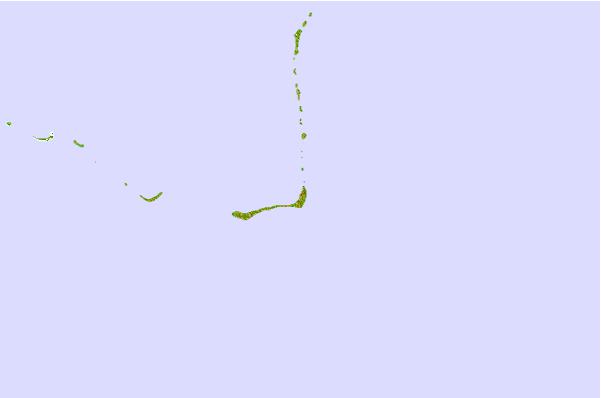
Use this relief map to navigate to tide stations, surf breaks and cities that are in the area of Rongelap Island, Rongelap Atoll, Marshall Islands.
Other Nearby Locations' tide tables and tide charts to Rongelap Island, Rongelap Atoll, Marshall Islands:
click location name for more details
 Surf breaks close to Rongelap Island, Rongelap Atoll, Marshall Islands:
|
||
|---|---|---|
| Closest surf break | Sidedish | 485 mi |
| Second closest surf break | Walung | 487 mi |
| Third closest surf break | Naa | 778 mi |
| Fourth closest surf break | Simberi Island | 1398 mi |
| Fifth closest surf break | Rubio | 1429 mi |


 Nearest