
| Distance / Altitude | Location | Report Date / Time | Live Weather | Wind | Gusts | Temp. | Visibility | Cloud |
|---|---|---|---|---|---|---|---|---|
| 83 km W / 184 m | Georgetown Airport (Guiana) | 2026-07-09 14:00 local (2026/07/09 18:00 GMT) | Dry and partly cloudy | moderate winds from the ENE (26 km/h at 70) | 32°C | 10.0 | few scattered | |
| 86 km WNW / 3 m | Eugene F Correira International Airport (Guyana) | 2026-07-09 14:00 local (2026/07/09 18:00 GMT) | Shower - in the vicinity | light winds from the NE (15 km/h at 40) | 30°C | 10.0 | scattered scattered | |
| 327 km WNW / 50 m | Mabaruma (Guyana) | 2026-07-09 14:00 local (2026/07/09 18:00 GMT) | Dry and partly cloudy | wind obs. (19 kph from 250 degs) was rejected (- km/h at -) | 31°C | 10.0 | broken - - | |
| 398 km ESE / 5 m | Saint -Laurent (France) | 2026-07-09 14:00 local (2026/07/09 18:00 GMT) | no report | - (- km/h at -) | 24°C | - | - | |
| 408 km SSW / 107 m | Lethem (Guyana) | 2026-07-09 14:00 local (2026/07/09 18:00 GMT) | Dry and partly cloudy | moderate winds from the NE (26 km/h at 50) | 27°C | 10.0 | scattered | |
| 487 km SE / 3 m | Maripasoula (French Guiana) | 2026-07-09 14:00 local (2026/07/09 18:00 GMT) | no report | - (- km/h at -) | 23°C | - | - | |
| 519 km SSW / 140 m | Boa Vista (Aero) (Brazil) | 2026-07-09 15:00 local (2026/07/09 19:00 GMT) | no report | calm (4 km/h at 80) | 26°C | 20 | - - - | |
| 520 km SSW / 216 m | Boa Vista Airport (Brazil) | 2026-07-09 14:00 local (2026/07/09 18:00 GMT) | Dry and partly cloudy | moderate winds from the E (20 km/h at 100) | 32°C | 10.0 | broken scattered broken | |
| 550 km ESE / 9 m | Cayenne (French Guiana) | 2026-07-09 14:00 local (2026/07/09 18:00 GMT) | no report | calm (0 km/h at 270) | 26°C | - | - | |
| 557 km NW / 3 m | SHIP4168 (Marine) | 2026-07-09 15:00 local (2026/07/09 19:00 GMT) | fresh winds from the ENE (35 km/h at 60) | 28°C | - |
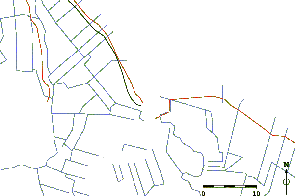
| Contours: | Roads & Rivers: | Select a
tide station / surf break / city |
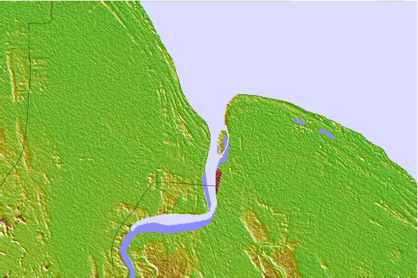
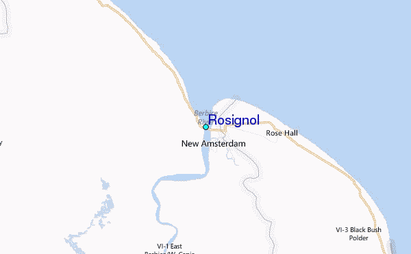
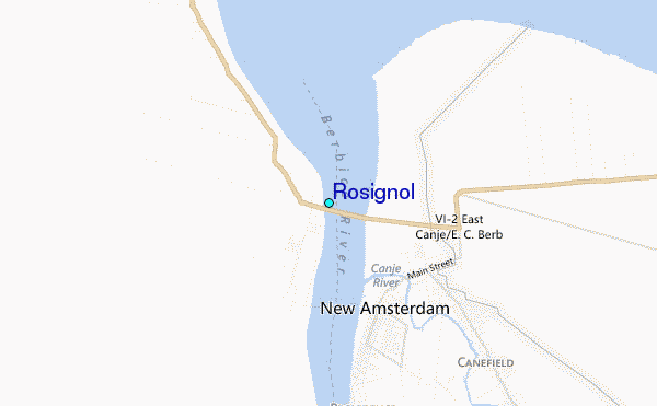
Use this relief map to navigate to tide stations, surf breaks and cities that are in the area of Rosignol.
Other Nearby Locations' tide tables and tide charts to Rosignol:
click location name for more details
 Surf breaks close to Rosignol:
|
||
|---|---|---|
| Closest surf break | The Delta | 331 mi |
| Second closest surf break | Saint Joseph (Iles du Salut) | 347 mi |
| Third closest surf break | Ilet du Novotel | 372 mi |
| Fourth closest surf break | Anse de Rémire (L'apcat) | 375 mi |
| Fifth closest surf break | Mahury | 376 mi |


 Nearest
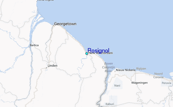