
| Distance / Altitude | Location | Report Date / Time | Live Weather | Wind | Gusts | Temp. | Visibility | Cloud |
|---|---|---|---|---|---|---|---|---|
| 1225 km E / 15 m | ASCATB343E55S (Marine) | 2026-07-09 19:58 local (2026/07/09 21:58 GMT) | fresh winds from the NW (32 km/h at 322) | — | - km | |||
| 1238 km ESE / 15 m | ASCATB343E57S (Marine) | 2026-07-09 19:57 local (2026/07/09 21:57 GMT) | strong winds from the NW (47 km/h at 312) | — | - km | |||
| 1239 km ESE / 15 m | ASCATB343E56S (Marine) | 2026-07-09 19:57 local (2026/07/09 21:57 GMT) | strong winds from the NW (40 km/h at 321) | — | - km | |||
| 1258 km ESE / 15 m | ASCATB343E58S (Marine) | 2026-07-09 19:57 local (2026/07/09 21:57 GMT) | near gales from the NW (51 km/h at 316) | — | - km | |||
| 1258 km E / 15 m | ASCATB343E54S (Marine) | 2026-07-09 19:58 local (2026/07/09 21:58 GMT) | moderate winds from the NNW (25 km/h at 342) | — | - km | |||
| 1276 km E / 15 m | ASCATB342E52S (Marine) | 2026-07-09 19:59 local (2026/07/09 21:59 GMT) | light winds from the ENE (15 km/h at 66) | — | - km | |||
| 1294 km ESE / 15 m | ASCATB344E58S (Marine) | 2026-07-09 19:57 local (2026/07/09 21:57 GMT) | strong winds from the NW (50 km/h at 315) | — | - km | |||
| 1298 km ESE / 15 m | ASCATB344E59S (Marine) | 2026-07-09 19:57 local (2026/07/09 21:57 GMT) | near gales from the NW (54 km/h at 317) | — | - km | |||
| 1299 km E / 15 m | ASCATB343E53S (Marine) | 2026-07-09 19:58 local (2026/07/09 21:58 GMT) | light winds from the NNE (19 km/h at 30) | — | - km | |||
| 1300 km ESE / 15 m | ASCATB344E57S (Marine) | 2026-07-09 19:57 local (2026/07/09 21:57 GMT) | strong winds from the NW (42 km/h at 320) | — | - km |
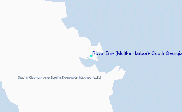
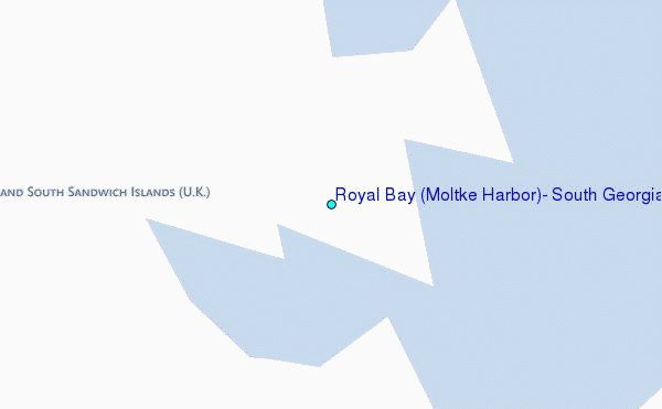
Choose Royal Bay (Moltke Harbor), South Georgia Location Map Zoom:
| Contours: | Roads & Rivers: | Select a
tide station / surf break / city |
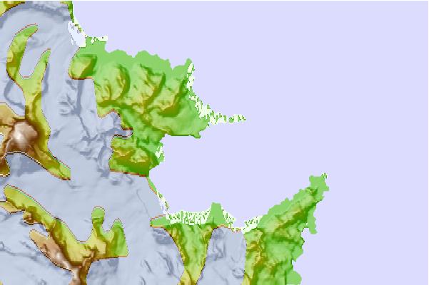
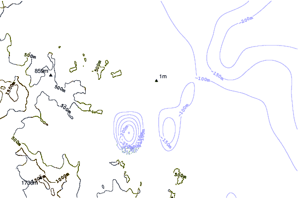
Use this relief map to navigate to tide stations, surf breaks and cities that are in the area of Royal Bay (Moltke Harbor), South Georgia.
Other Nearby Locations' tide tables and tide charts to Royal Bay (Moltke Harbor), South Georgia:
click location name for more details
 Surf breaks close to Royal Bay (Moltke Harbor), South Georgia:
|
||
|---|---|---|
| Closest surf break | Surf Bay | 920 mi |
| Second closest surf break | Cow Bay | 930 mi |
| Third closest surf break | Bertha's Beach | 940 mi |
| Fourth closest surf break | Concirdia Bay | 963 mi |
| Fifth closest surf break | Elephant Beach | 972 mi |


 Nearest
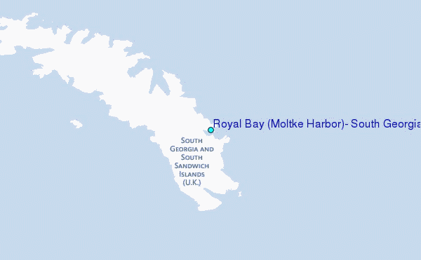