
| Distance / Altitude | Location | Report Date / Time | Live Weather | Wind | Gusts | Temp. | Visibility | Cloud |
|---|---|---|---|---|---|---|---|---|
| 5 km SW / 217 m | Oceana Naval Air Station Airport (Virginia) | 2026-05-26 00:56 local (2026/05/26 04:56 GMT) | Dry and partly cloudy | light winds from the SW (19 km/h at 230) | 23°C | 16 | scattered broken | |
| 12 km NW / 3 m | BUOY-CHYV2 (Marine) | 2026-05-26 01:30 local (2026/05/26 05:30 GMT) | light winds from the WSW (15 km/h at 250) | 23°C | - | |||
| 20 km SSW / 3 m | Fentress- Naval Auxiliary Landing Field (United States) | 2026-05-26 01:23 local (2026/05/26 05:23 GMT) | Dry and cloudy | light winds from the N (7 km/h at 1) | 23°C | 16 | scattered broken overcast | |
| 22 km W / 219 m | Norfolk Airport (Virginia) | 2026-05-26 00:51 local (2026/05/26 04:51 GMT) | Dry and partly cloudy | moderate winds from the SW (24 km/h at 220) | 23°C | 16 | broken | |
| 24 km NW / 3 m | BUOY-CHBV2 (Marine) | 2026-05-26 01:30 local (2026/05/26 05:30 GMT) | moderate winds from the WSW (21 km/h at 240) | 22°C | - | |||
| 24 km ENE / 3 m | Cape Henry- VA (Marine) | 2026-05-26 01:26 local (2026/05/26 05:26 GMT) | - (- km/h at -) | — | - | |||
| 24 km E / 3 m | SHIP2431 (Marine) | 2026-05-26 02:00 local (2026/05/26 06:00 GMT) | - (- km/h at -) | 22°C | - | |||
| 27 km NW / 3 m | Thimble Shoal Buoy- VA (Marine) | 2026-05-26 01:56 local (2026/05/26 05:56 GMT) | - (- km/h at -) | — | - | |||
| 28 km W / 218 m | Norfolk Naval Station (Chambers Field) Airport (Virginia) | 2026-05-26 00:59 local (2026/05/26 04:59 GMT) | Dry and cloudy | light winds from the SW (17 km/h at 220) | 23°C | 16 | few broken overcast | |
| 30 km WSW / 3 m | BUOY-MNPV2 (Marine) | 2026-05-26 01:30 local (2026/05/26 05:30 GMT) | light winds from the SW (13 km/h at 220) | 23°C | - |
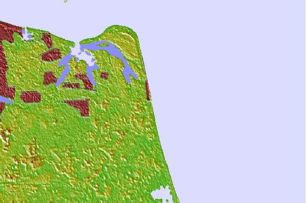
| Contours: | Roads & Rivers: | Select a
tide station / surf break / city |

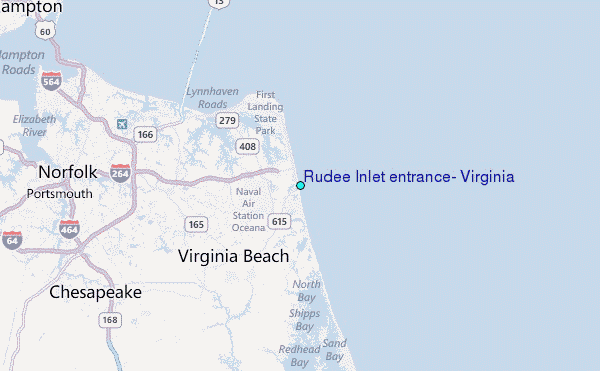
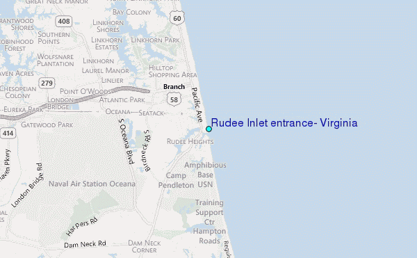
Use this relief map to navigate to tide stations, surf breaks and cities that are in the area of Rudee Inlet entrance, Virginia.
Other Nearby Locations' tide tables and tide charts to Rudee Inlet entrance, Virginia:
click location name for more details
 Surf breaks close to Rudee Inlet entrance, Virginia:
|
||
|---|---|---|
| Closest surf break | Virginia Beach | 1 mi |
| Second closest surf break | 1st Street Jetty | 2 mi |
| Third closest surf break | Croatan | 3 mi |
| Fourth closest surf break | 42nd St VA Beach | 3 mi |
| Fifth closest surf break | Camp Pendleton | 4 mi |


 Nearest
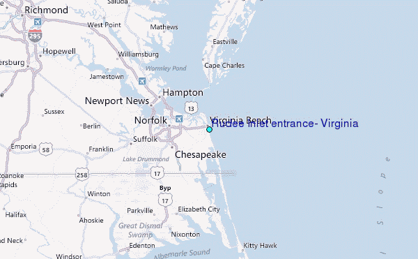