
| Distance / Altitude | Location | Report Date / Time | Live Weather | Wind | Gusts | Temp. | Visibility | Cloud |
|---|---|---|---|---|---|---|---|---|
| 0 km N / 3 m | BUOY-PORT2 (Marine) | 2026-06-13 08:00 local (2026/06/13 13:00 GMT) | calm (4 km/h at 160) | 28°C | - | |||
| 8 km SSE / 3 m | SHIP6093 (Marine) | 2026-06-13 06:00 local (2026/06/13 11:00 GMT) | - (- km/h at -) | 27°C | - | |||
| 8 km SSE / 15 m | SHIP2485 (Marine) | 2026-06-13 06:00 local (2026/06/13 11:00 GMT) | - (- km/h at -) | — | - km | |||
| 8 km SSE / 3 m | SHIP7436 (Marine) | 2026-06-13 06:00 local (2026/06/13 11:00 GMT) | - (- km/h at -) | 27°C | - | |||
| 8 km SSE / 3 m | SHIP4955 (Marine) | 2026-06-13 06:00 local (2026/06/13 11:00 GMT) | - (- km/h at -) | 27°C | - | |||
| 8 km SSE / 3 m | SHIP7595 (Marine) | 2026-06-13 06:00 local (2026/06/13 11:00 GMT) | - (- km/h at -) | 27°C | - | |||
| 8 km SSE / 15 m | SHIP7016 (Marine) | 2026-06-13 08:00 local (2026/06/13 13:00 GMT) | - (- km/h at -) | — | - km | |||
| 8 km SSE / 3 m | SHIP4860 (Marine) | 2026-06-13 06:00 local (2026/06/13 11:00 GMT) | - (- km/h at -) | 27°C | - | |||
| 8 km SSE / 15 m | SHIP8600 (Marine) | 2026-06-13 06:00 local (2026/06/13 11:00 GMT) | - (- km/h at -) | — | - km | |||
| 8 km SSE / 15 m | SHIP8703 (Marine) | 2026-06-13 07:00 local (2026/06/13 12:00 GMT) | - (- km/h at -) | — | - km |
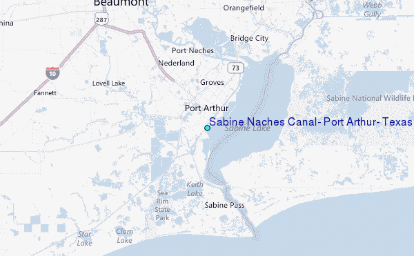
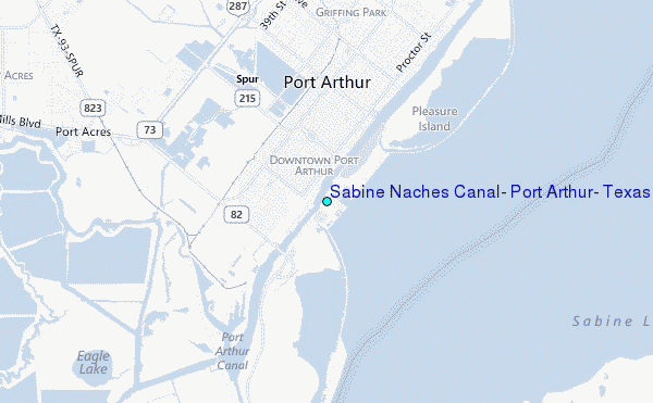
Choose Sabine Naches Canal, Port Arthur, Texas Location Map Zoom:
| Contours: | Roads & Rivers: | Select a
tide station / surf break / city |
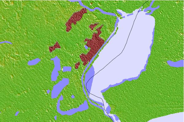
Use this relief map to navigate to tide stations, surf breaks and cities that are in the area of Sabine Naches Canal, Port Arthur, Texas.
Other Nearby Locations' tide tables and tide charts to Sabine Naches Canal, Port Arthur, Texas:
click location name for more details
 Surf breaks close to Sabine Naches Canal, Port Arthur, Texas:
|
||
|---|---|---|
| Closest surf break | Holly Beach | 29 mi |
| Second closest surf break | Bolivar | 40 mi |
| Third closest surf break | Meacom Pier | 58 mi |
| Fourth closest surf break | Galveston - Flagship Pier | 63 mi |
| Fifth closest surf break | Galveston | 64 mi |


 Nearest
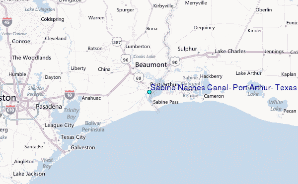