
| Distance / Altitude | Location | Report Date / Time | Live Weather | Wind | Gusts | Temp. | Visibility | Cloud |
|---|---|---|---|---|---|---|---|---|
| 9 km S / 218 m | Sacramento Airport (California) | 2026-06-14 16:53 local (2026/06/14 23:53 GMT) | Clear | light winds from the SSW (17 km/h at 210) | 34°C | 16 | ||
| 13 km NE / 23 m | Mcclellan Air Force Base (California) | 2026-06-14 17:35 local (2026/06/15 00:35 GMT) | Clear | light winds from the S (13 km/h at 170) | 36°C | 16 | ||
| 16 km NW / 218 m | Sacramento/Metro Airport (California) | 2026-06-14 16:53 local (2026/06/14 23:53 GMT) | - | light winds from the SSW (15 km/h at 200) | 35°C | 16 | few | |
| 20 km ESE / 190 m | Mather Field Airport (California) | 2026-06-14 17:35 local (2026/06/15 00:35 GMT) | Clear | light winds from the WSW (15 km/h at 250) | 36°C | 16 | ||
| 25 km SW / 21 m | Davis (California) | 2026-06-14 17:25 local (2026/06/15 00:25 GMT) | - | moderate winds from the S (20 km/h at 170) | 33°C | 16 | ||
| 31 km WSW / 30 m | Yolo County Davis Woodland Winters Airport (California) (California) | 2026-06-14 17:35 local (2026/06/15 00:35 GMT) | Clear | light winds from the S (19 km/h at 180) | 34°C | 16 | ||
| 40 km NNE / 37 m | Lincoln Airport (California) (California) | 2026-06-14 17:35 local (2026/06/15 00:35 GMT) | - | light winds from the S (6 km/h at 190) | 37°C | 16 | ||
| 44 km SW / 217 m | Vacaville Airport (California) | 2026-06-14 16:53 local (2026/06/14 23:53 GMT) | Clear | light winds from the SSW (19 km/h at 200) | 34°C | 16 | ||
| 50 km SSW / 218 m | Travis Air Force Base Airport (California) | 2026-06-14 16:55 local (2026/06/14 23:55 GMT) | Clear | fresh winds from the SW (31 km/h at 230) | 31°C | 16 | ||
| 55 km NE / 719 m | Auburn Municipal Airport (California) | 2026-06-14 17:35 local (2026/06/15 00:35 GMT) | Clear | light winds from the SW (9 km/h at 220) | 33°C | 16 |
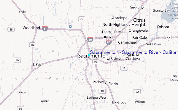
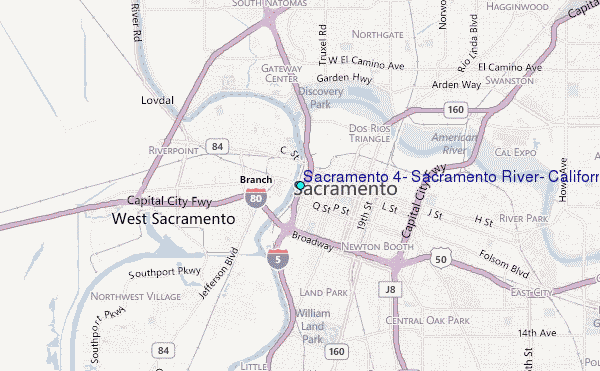
Choose Sacramento #4, Sacramento River, California Location Map Zoom:
| Contours: | Roads & Rivers: | Select a
tide station / surf break / city |
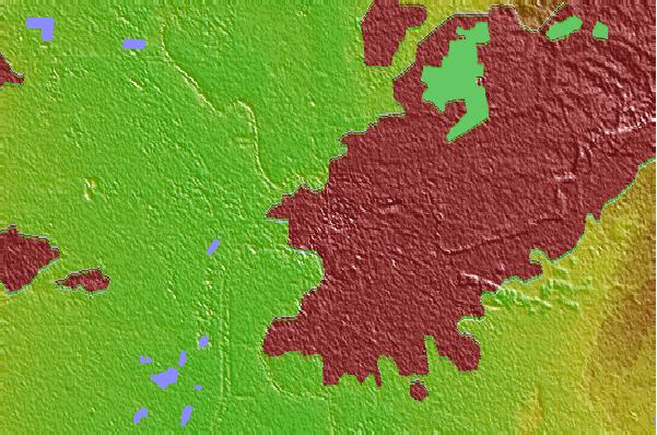
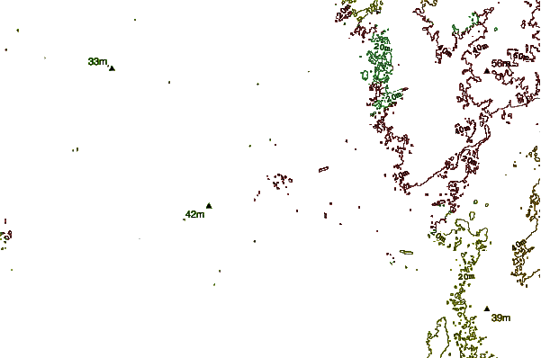
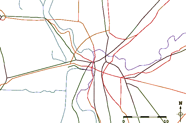
Use this relief map to navigate to tide stations, surf breaks and cities that are in the area of Sacramento #4, Sacramento River, California.
Other Nearby Locations' tide tables and tide charts to Sacramento #4, Sacramento River, California:
click location name for more details
 Surf breaks close to Sacramento #4, Sacramento River, California:
|
||
|---|---|---|
| Closest surf break | Fort Point | 75 mi |
| Second closest surf break | Fort Cronkite Rodeo Beach | 76 mi |
| Third closest surf break | Deadman's | 77 mi |
| Fourth closest surf break | Kellys Cove | 78 mi |
| Fifth closest surf break | Stinson Beach | 78 mi |


 Nearest
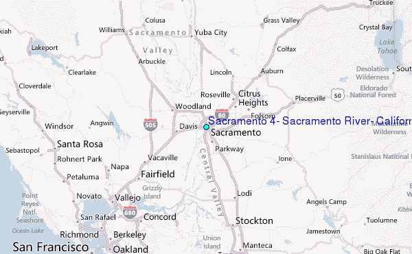